A beautiful spring weekend camping in the desert during a rare superbloom event.
I recently spent a long weekend exploring Death Valley National Park with friends for the first time, and it was a blast. We saw so much, and still, when I look at the map, I see that this park offers even more to explore.
Being the largest national park in the contiguous United States (even bigger than Yellowstone!), it can be hard to prioritize exactly what to see with limited time. The itinerary my friends organized was wonderful, offering a little of everything – so I’ll share it with you, too.
Day 1: Arrival, Orienting Ourselves, and Wildflowers
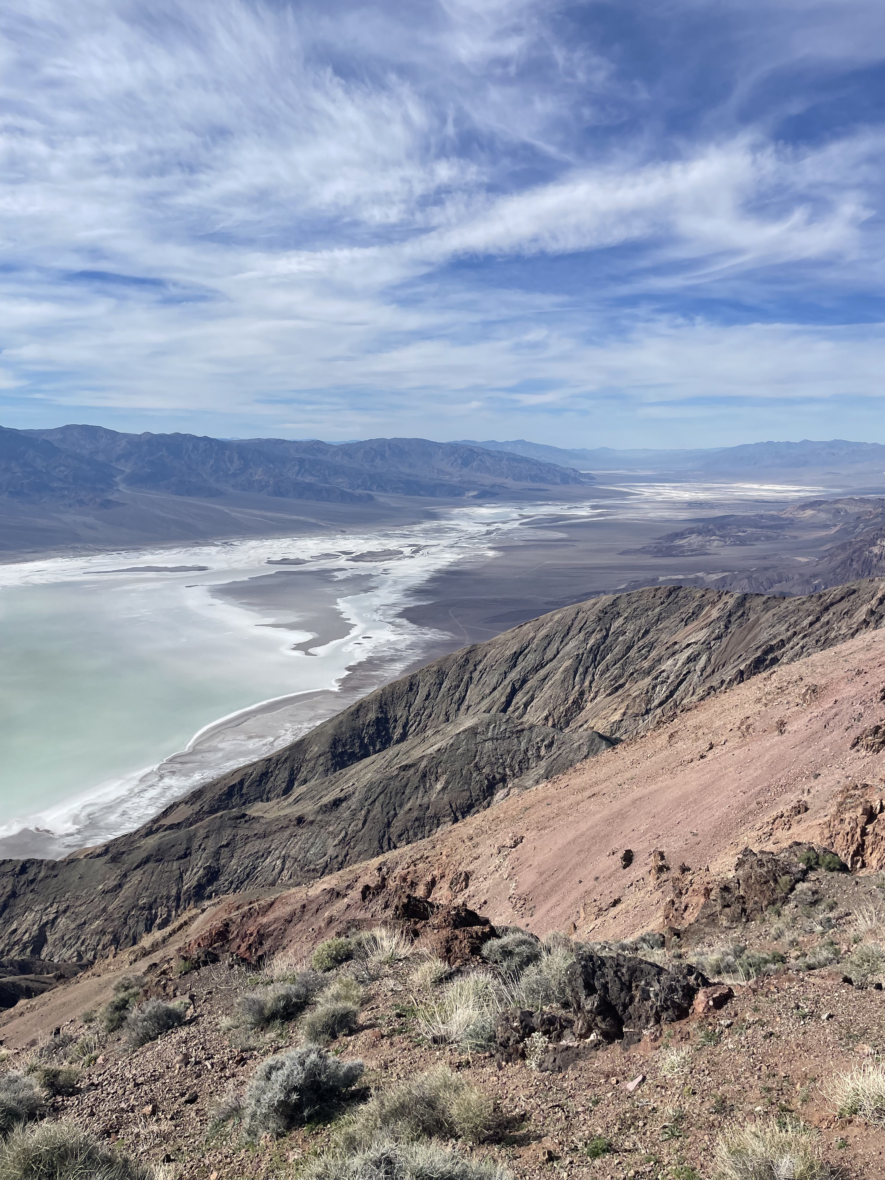
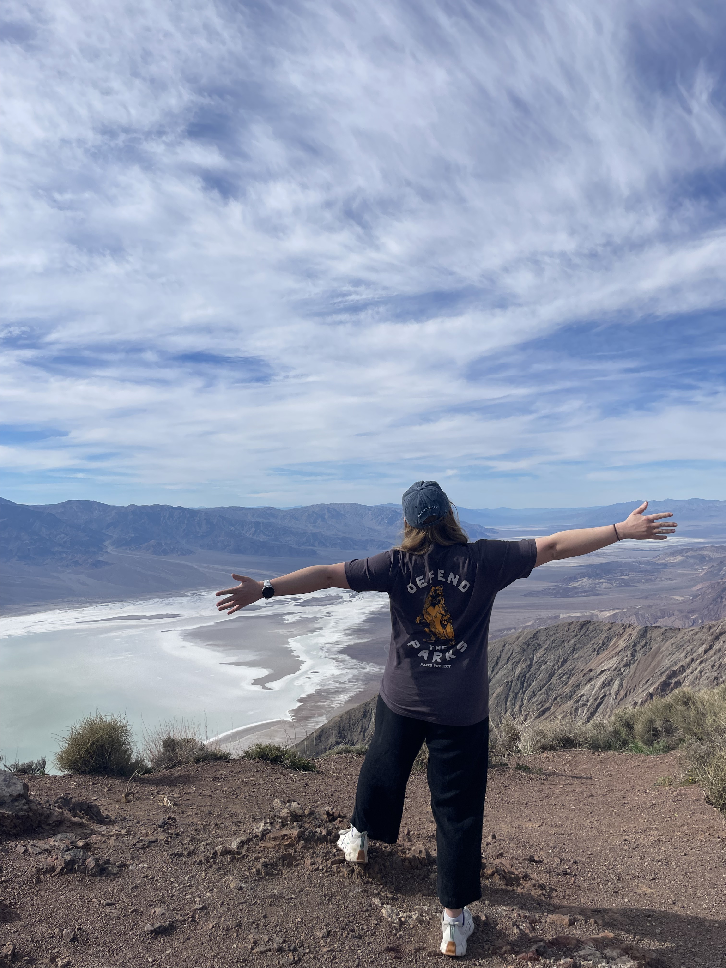
Dante’s View
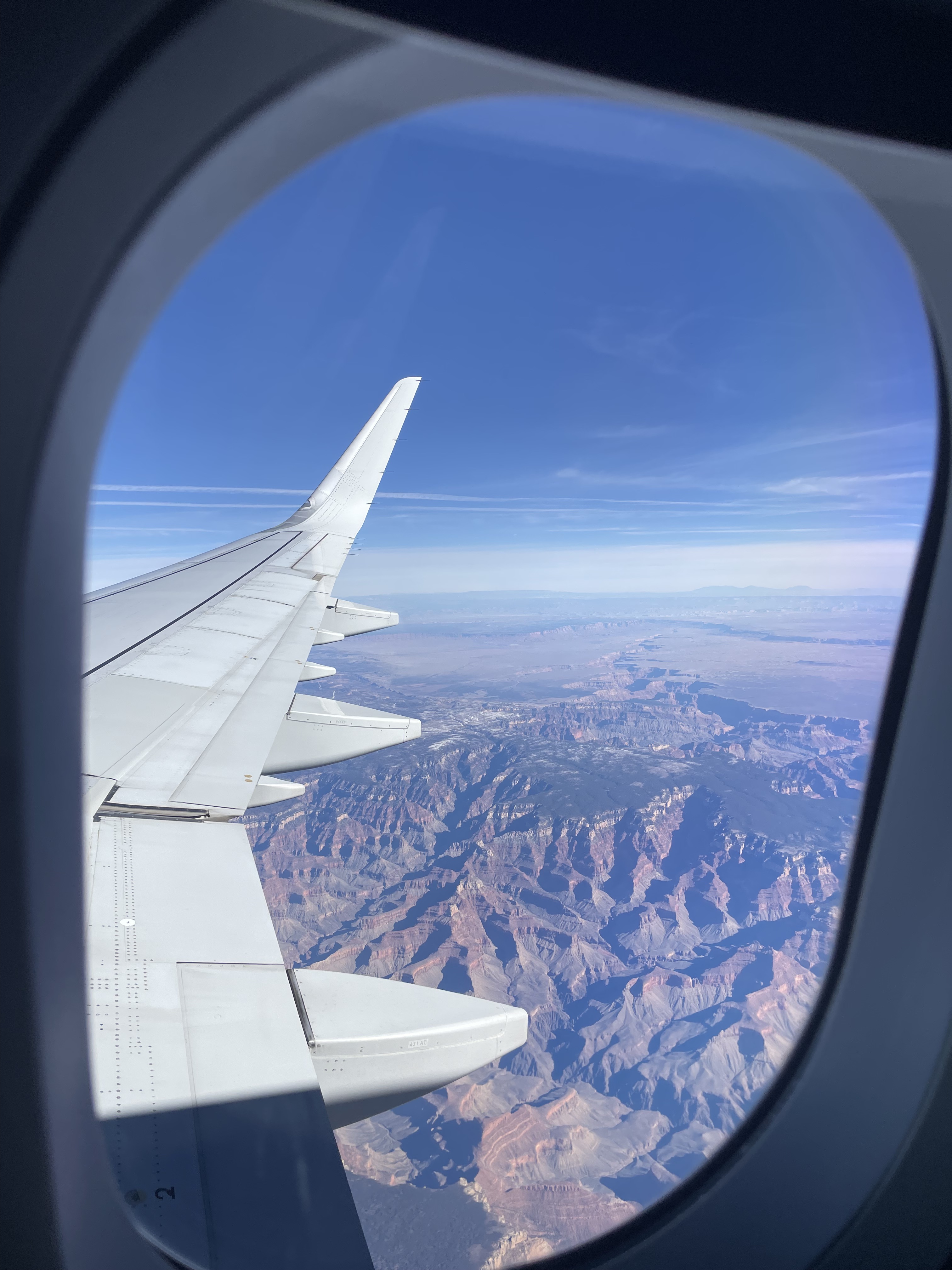
We flew into Las Vegas on a Friday morning (me coming from DC, my friends from San Francisco), picked up our rental car, and drove two hours to the park’s east-side entrance.
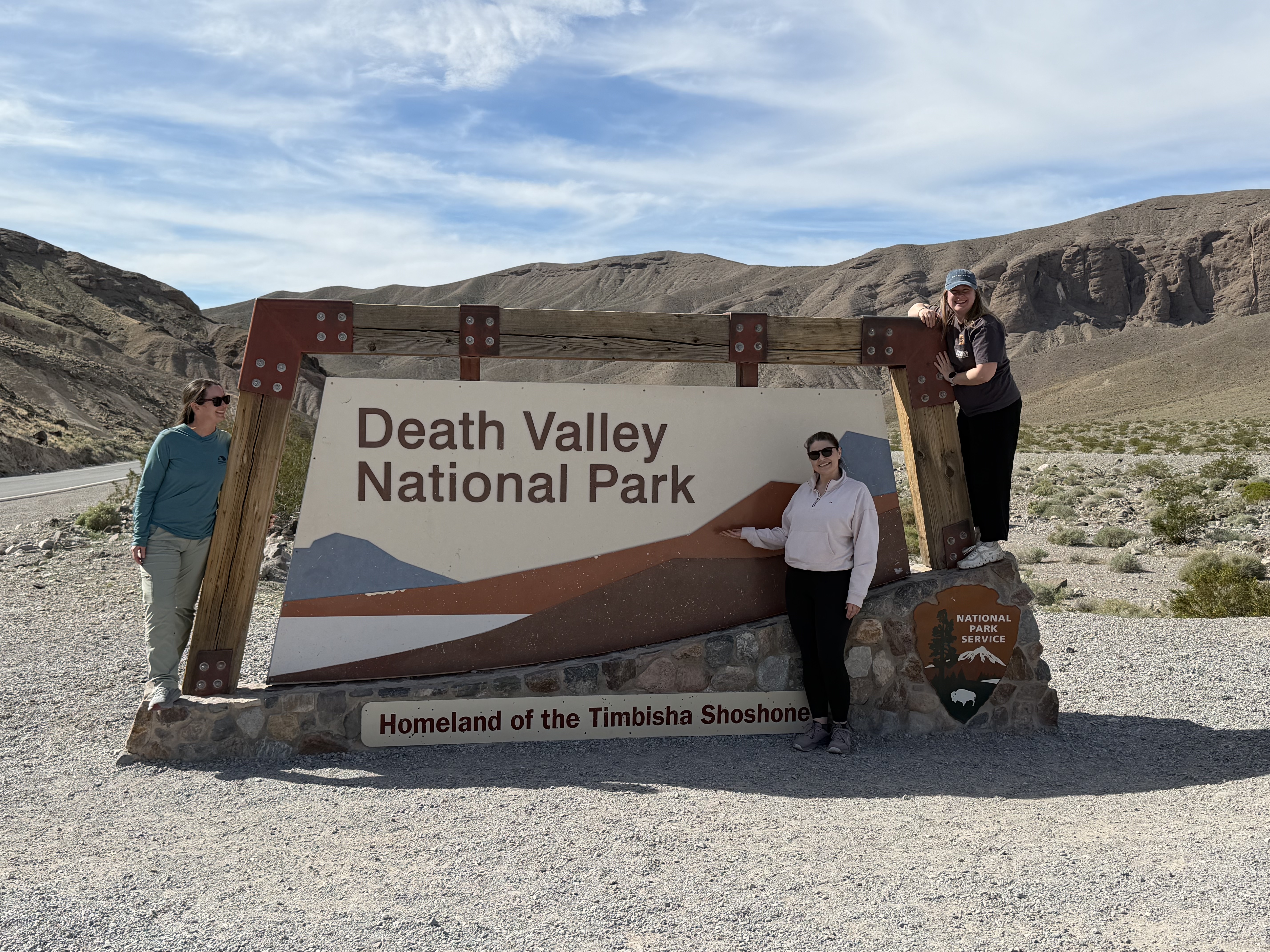
After snapping pics with the park sign (of course!), we drove straight to Dante’s View – a viewpoint offering sweeping vistas of the valley and Badwater Basin below. This is a great way to orient yourself to the grand size of the park without any hiking needed.
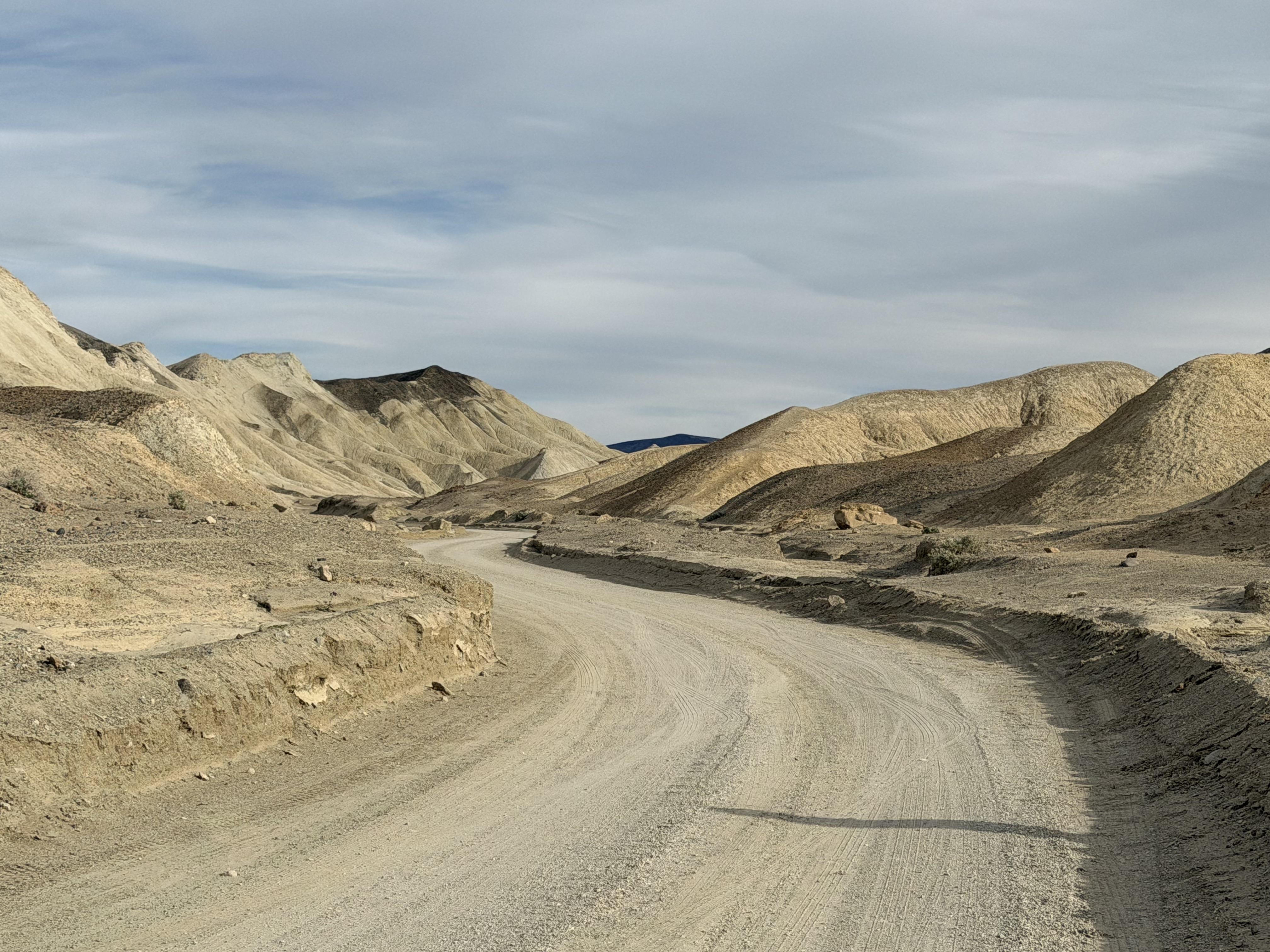
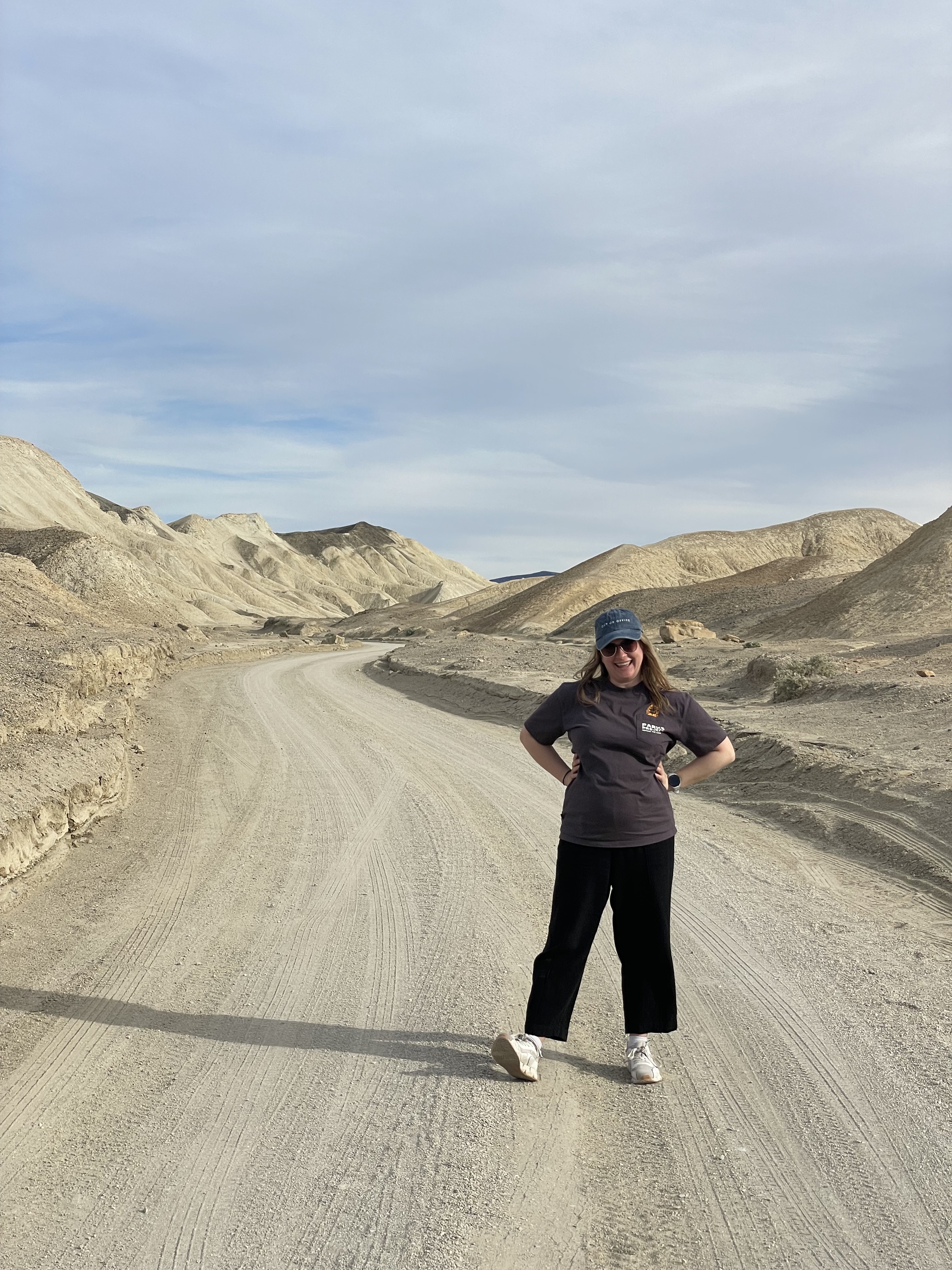
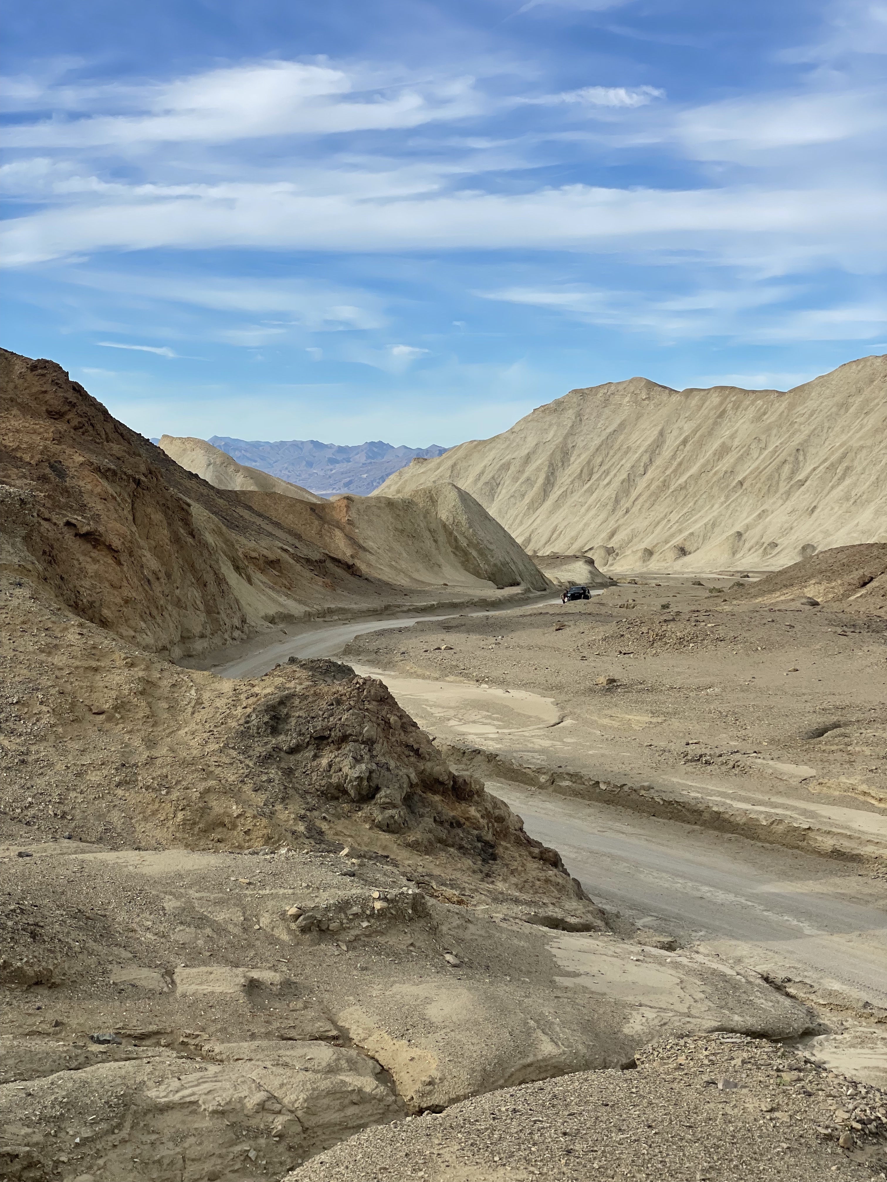
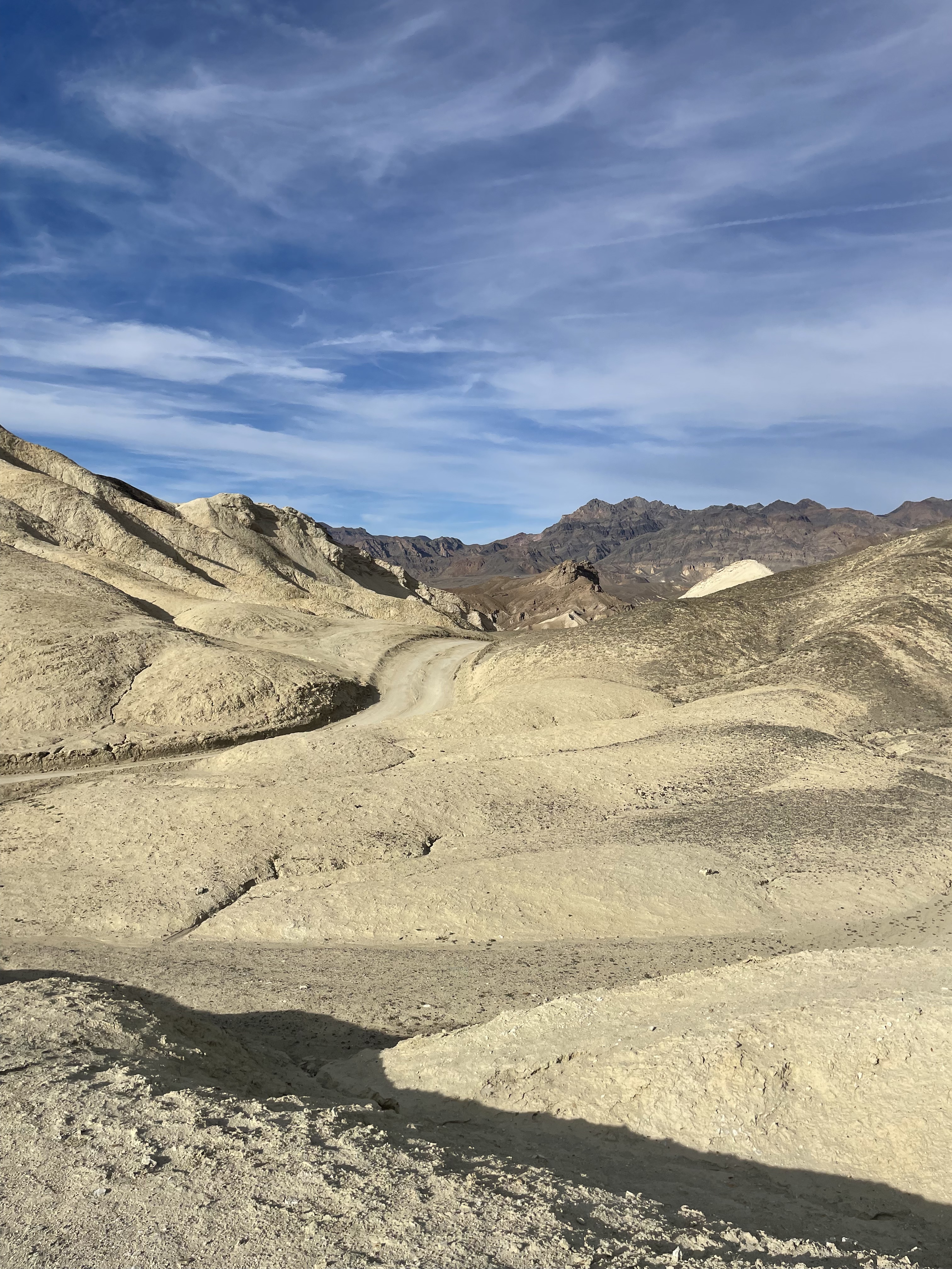
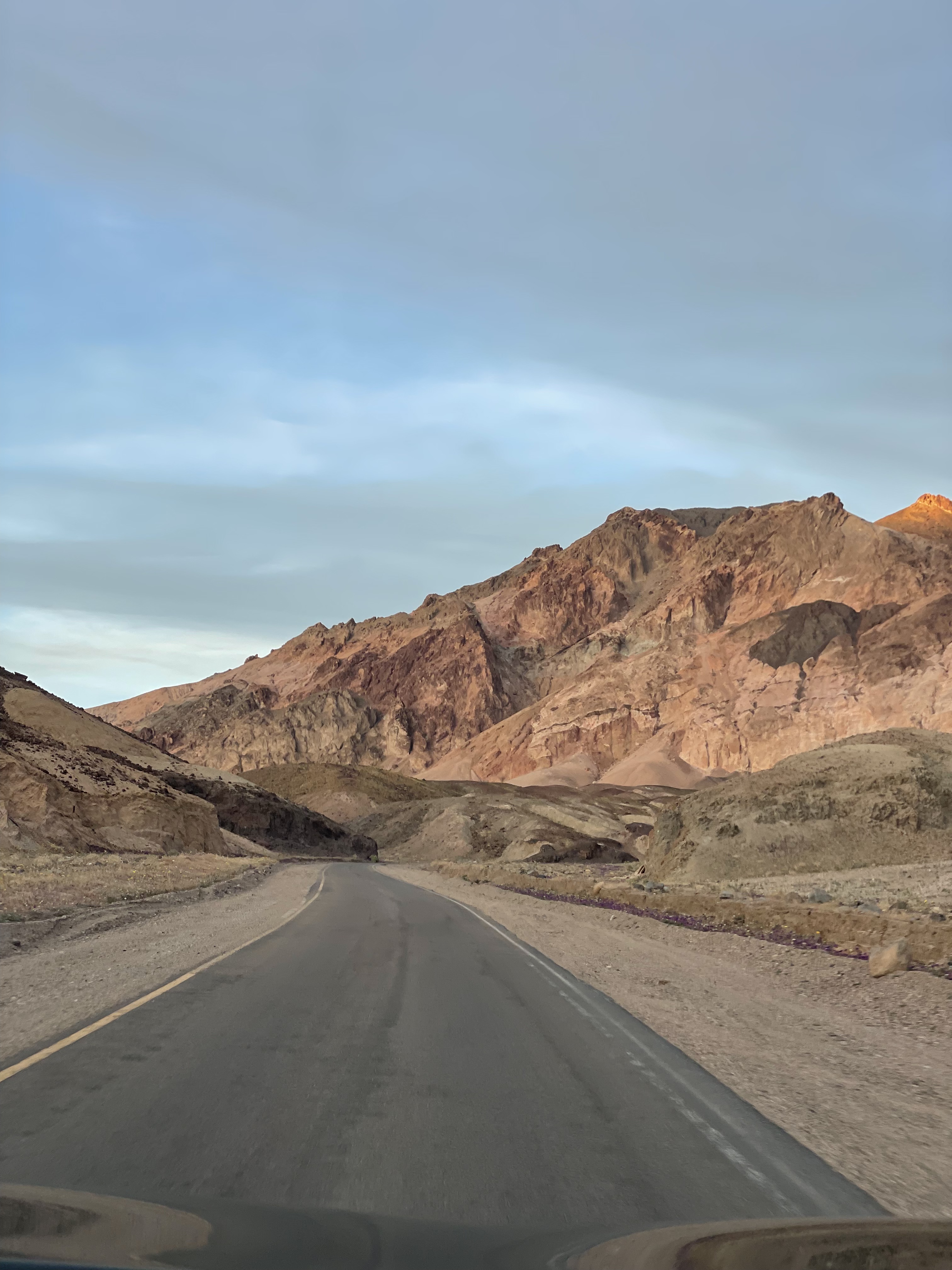
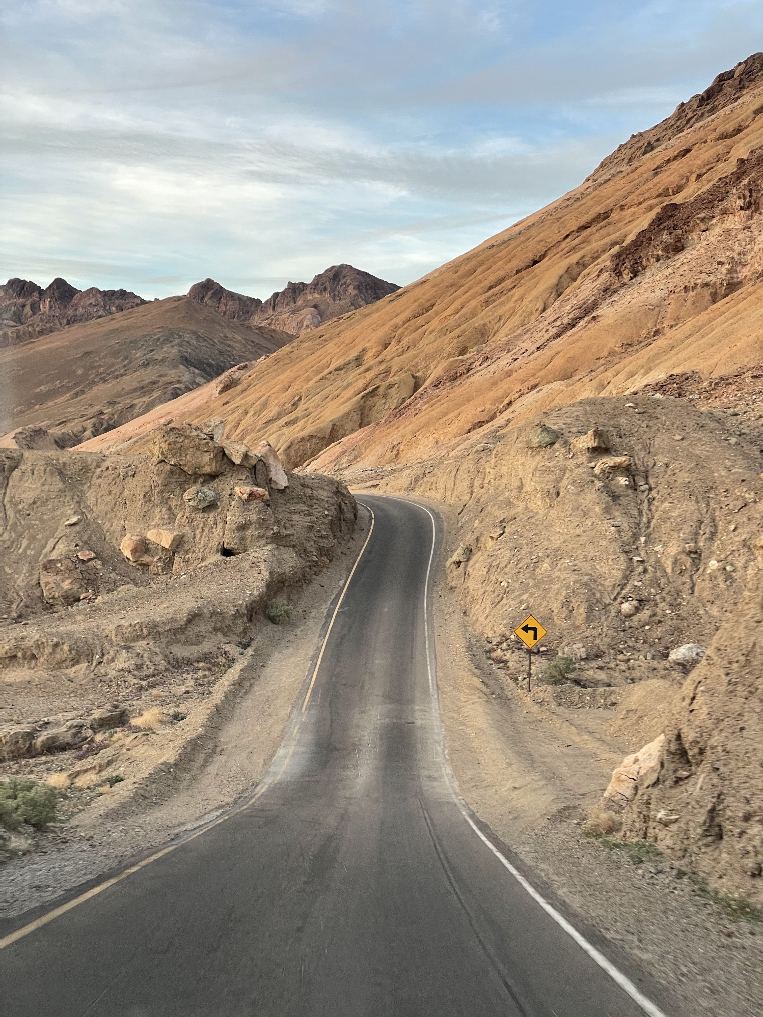
Twenty-Mule Canyon Drive
As we continued along the main park road, we took a slight detour and drove a one-way road through what feels like a lunar landscape. The canyon leads to a former mine that used to require a twenty-mule team to reach, and is where some Star Wars scenes were filmed. We felt like astronauts here!
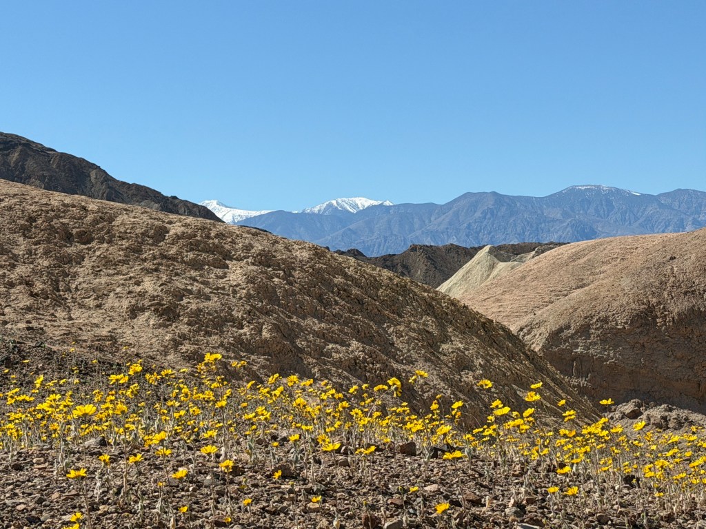
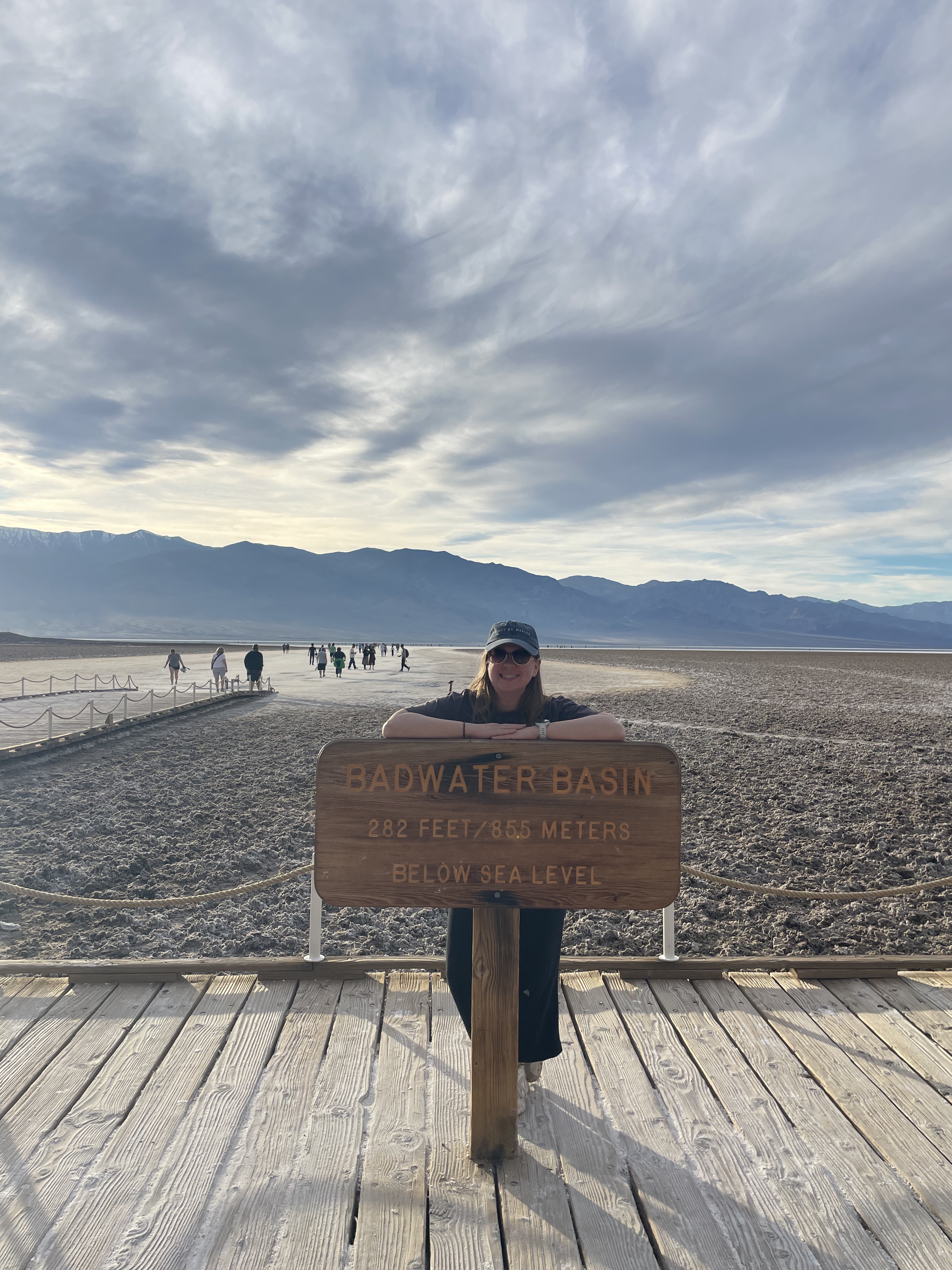
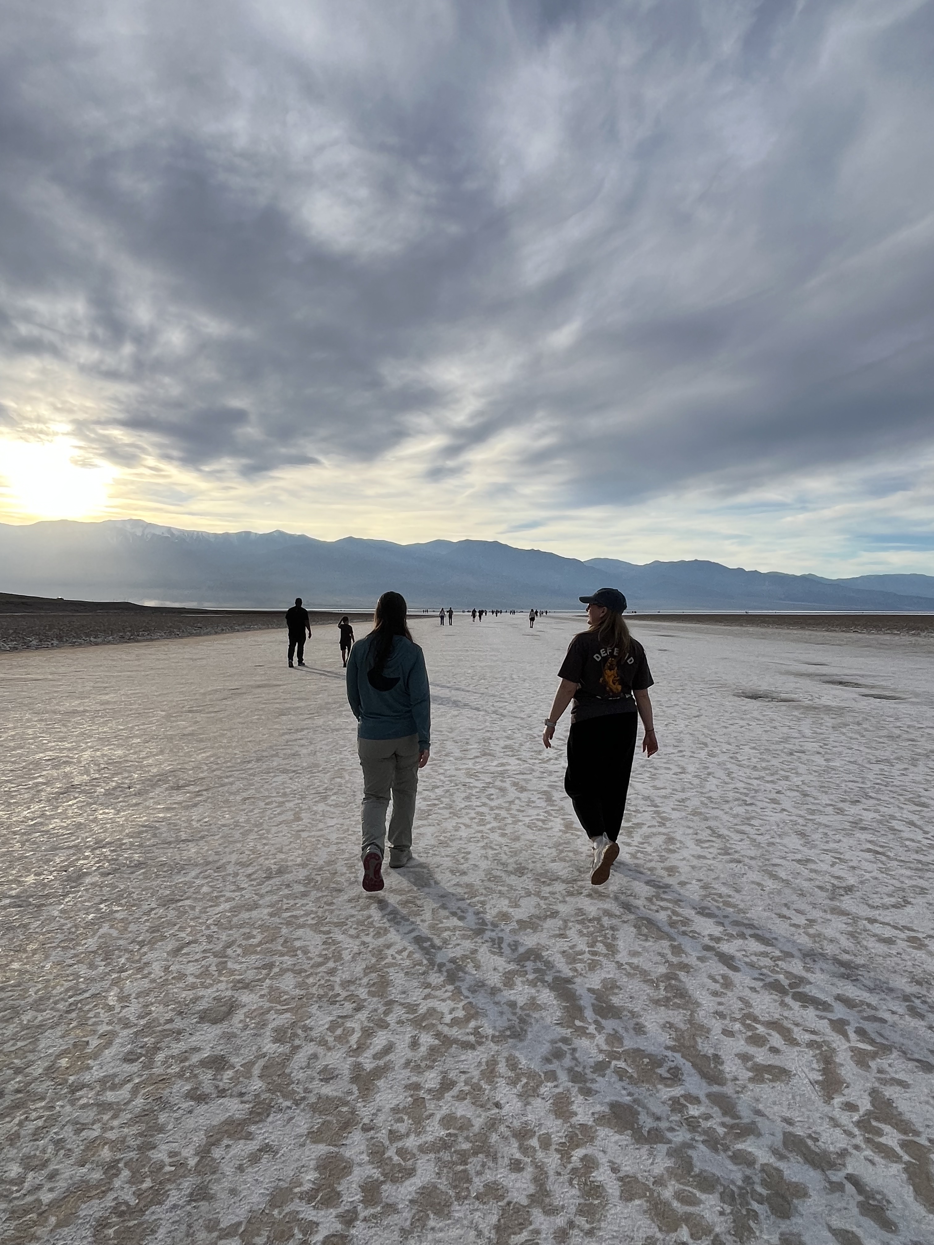
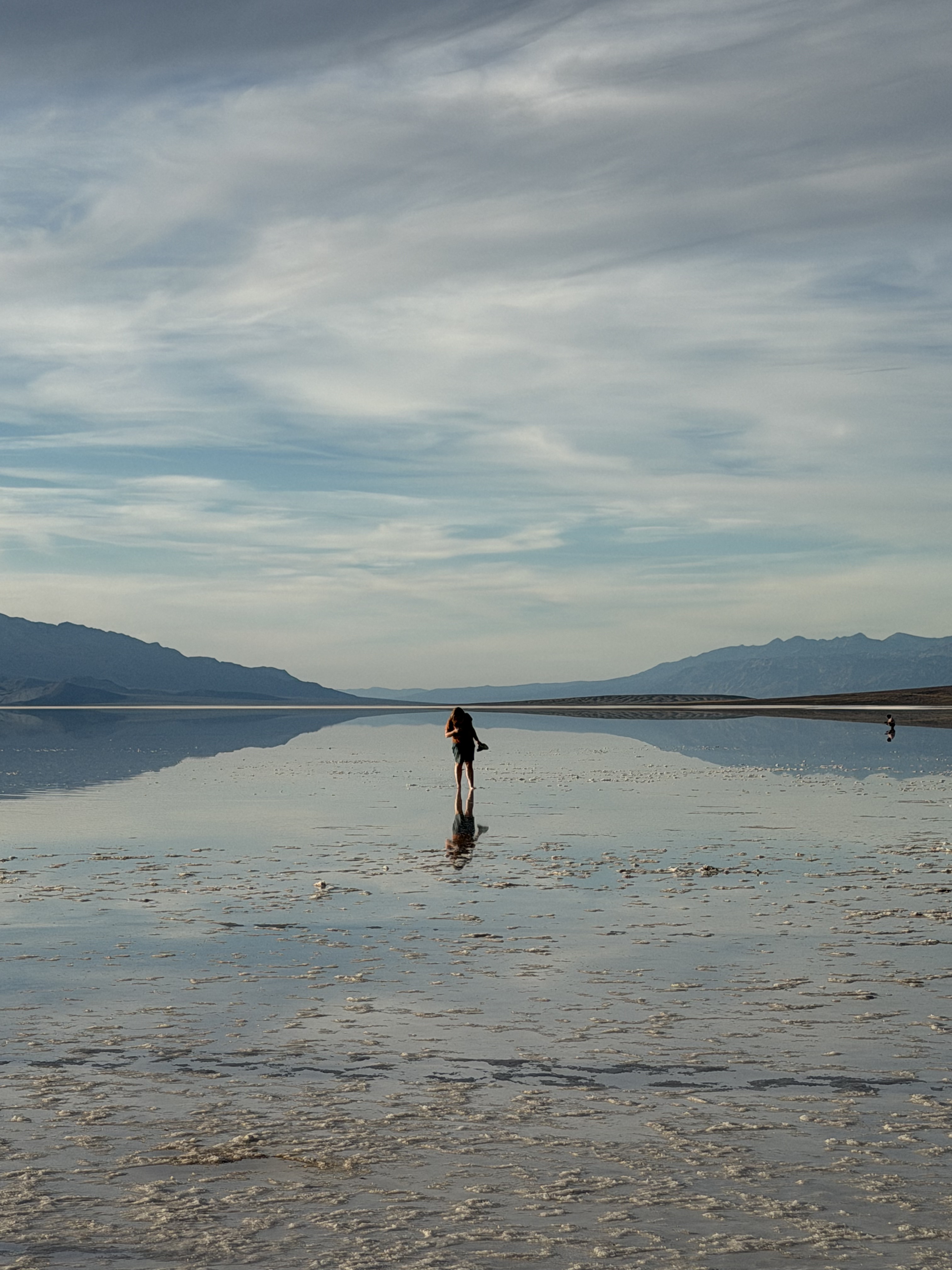
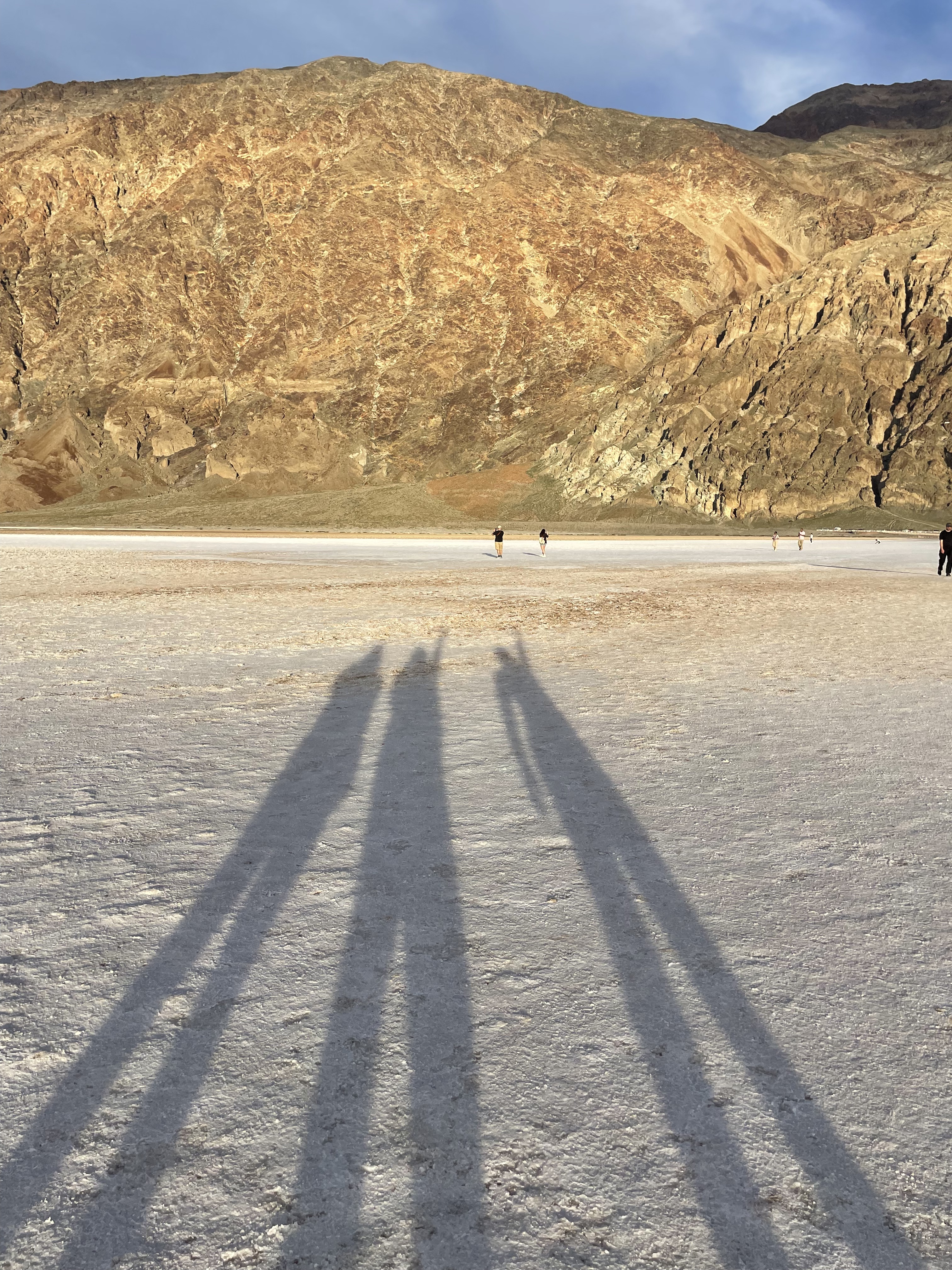
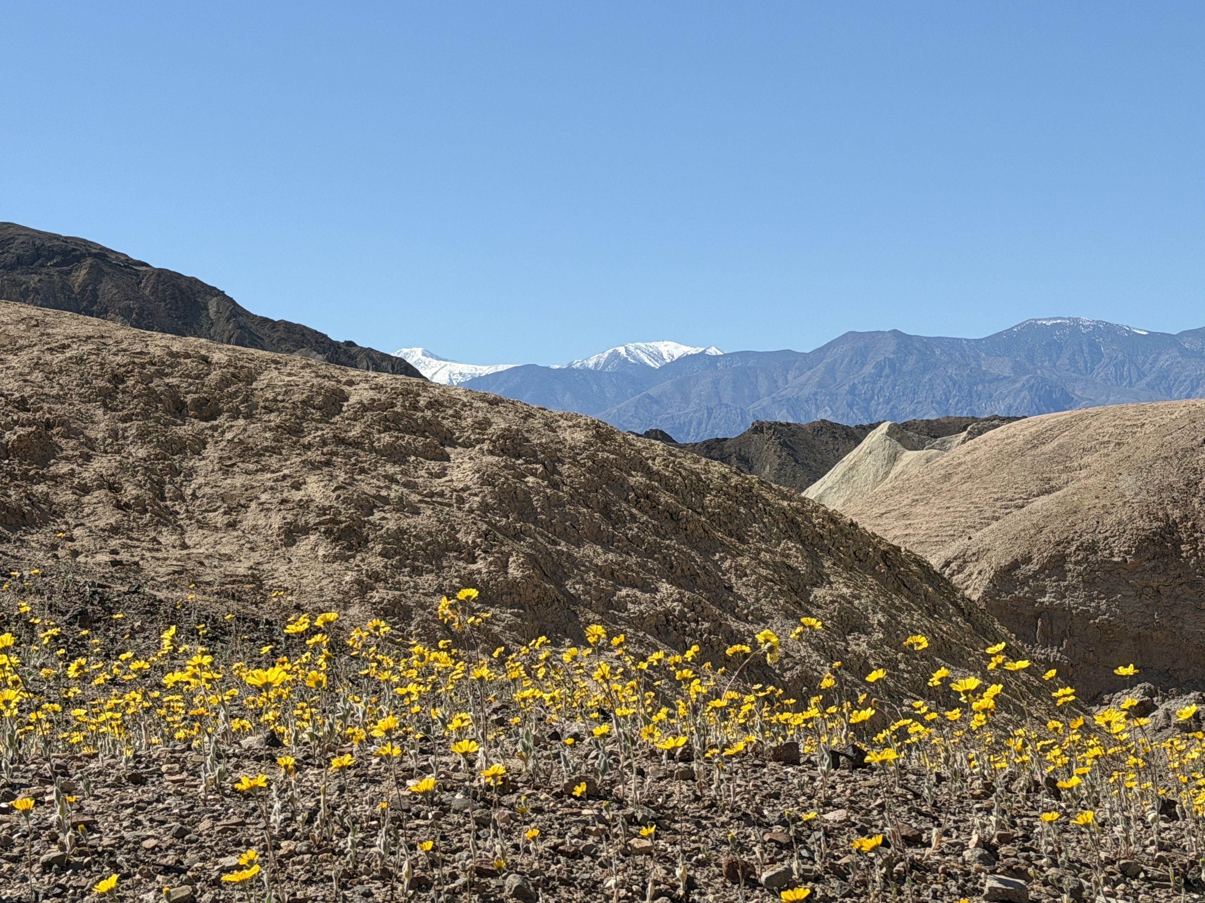
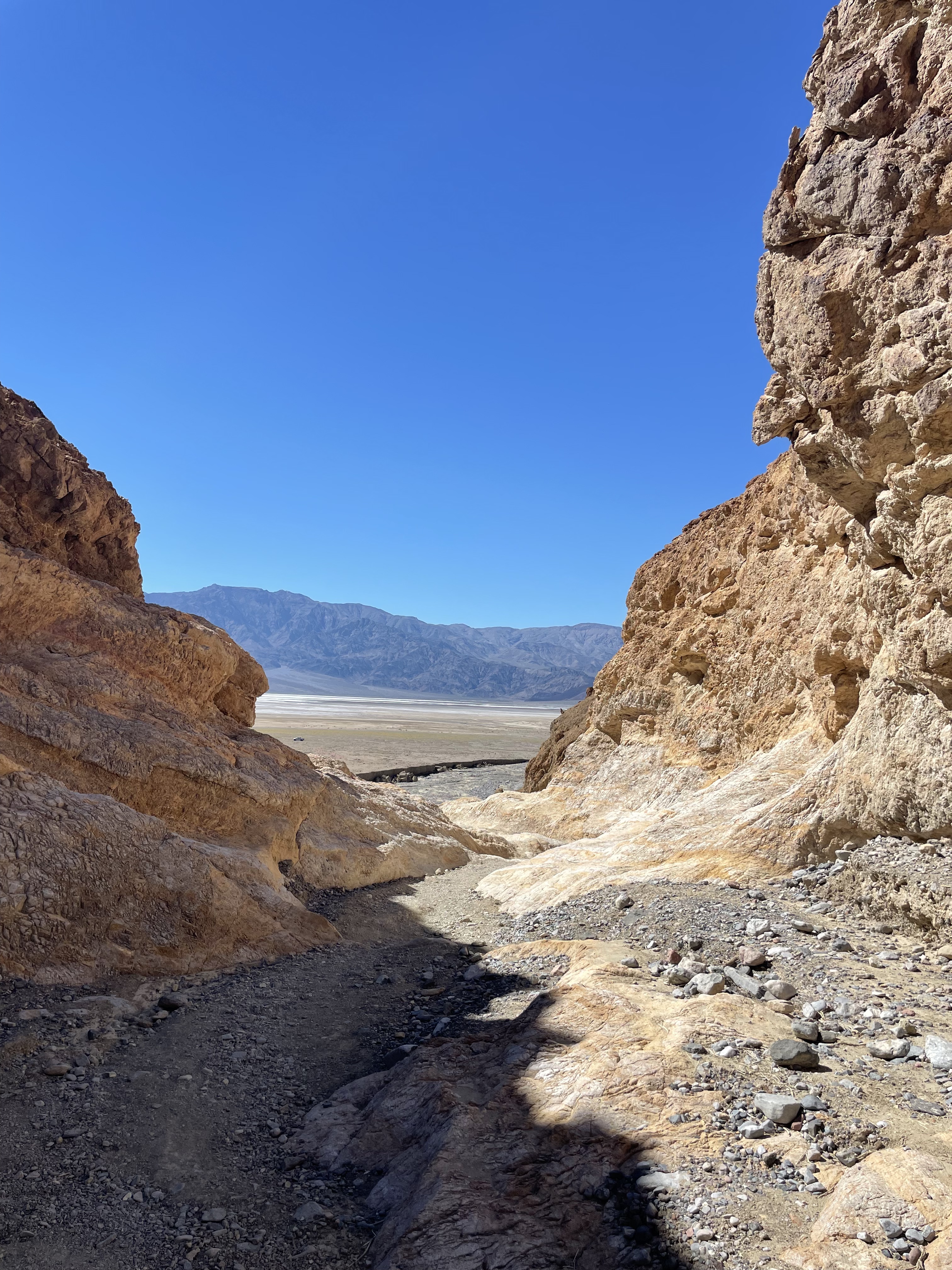
Badwater Basin and a Wildflower Superbloom
Next, we drove down into the heart of Death Valley, headed for Badwater Basin – the lowest point in North America at 282 feet below sea level!
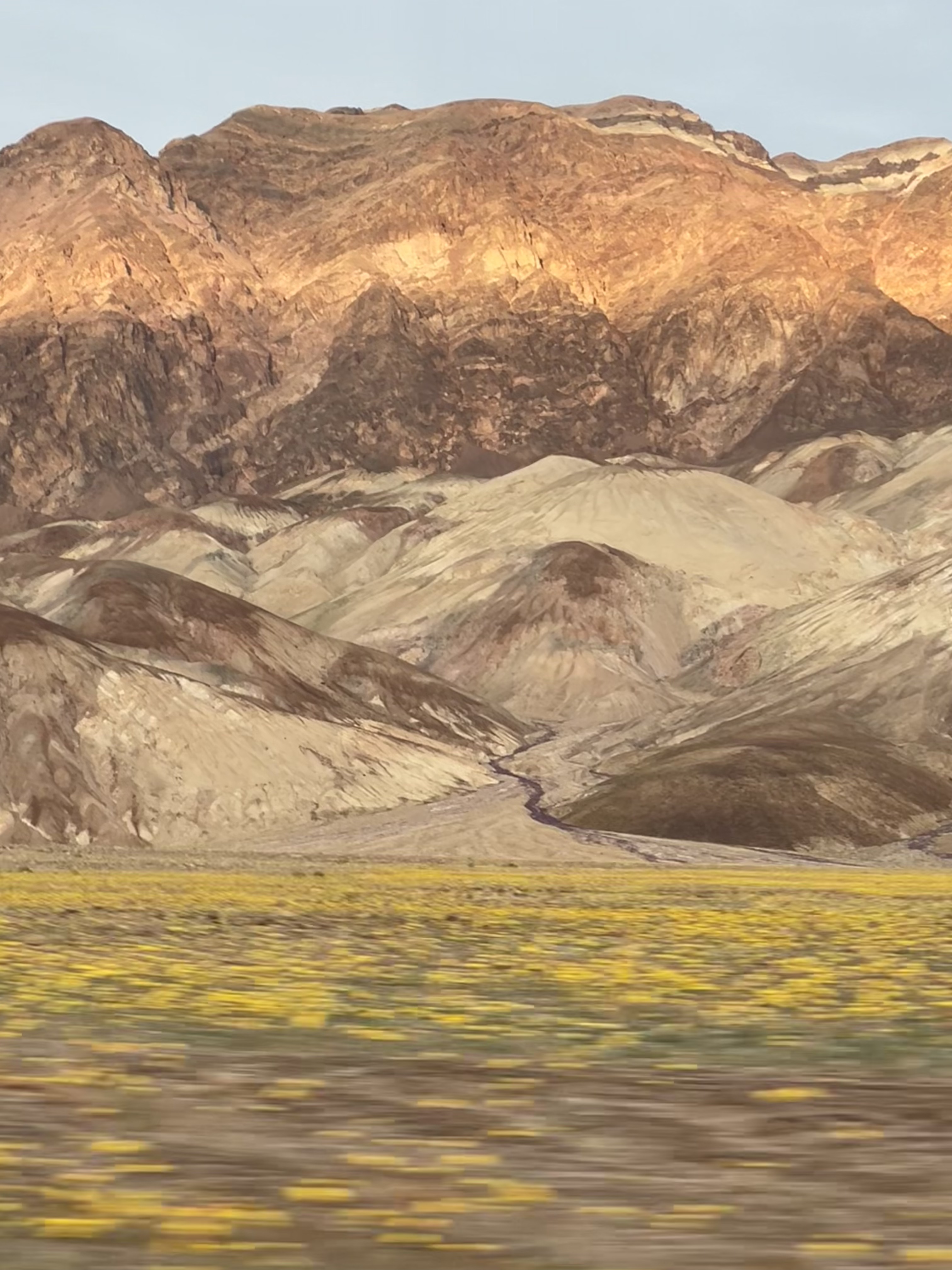
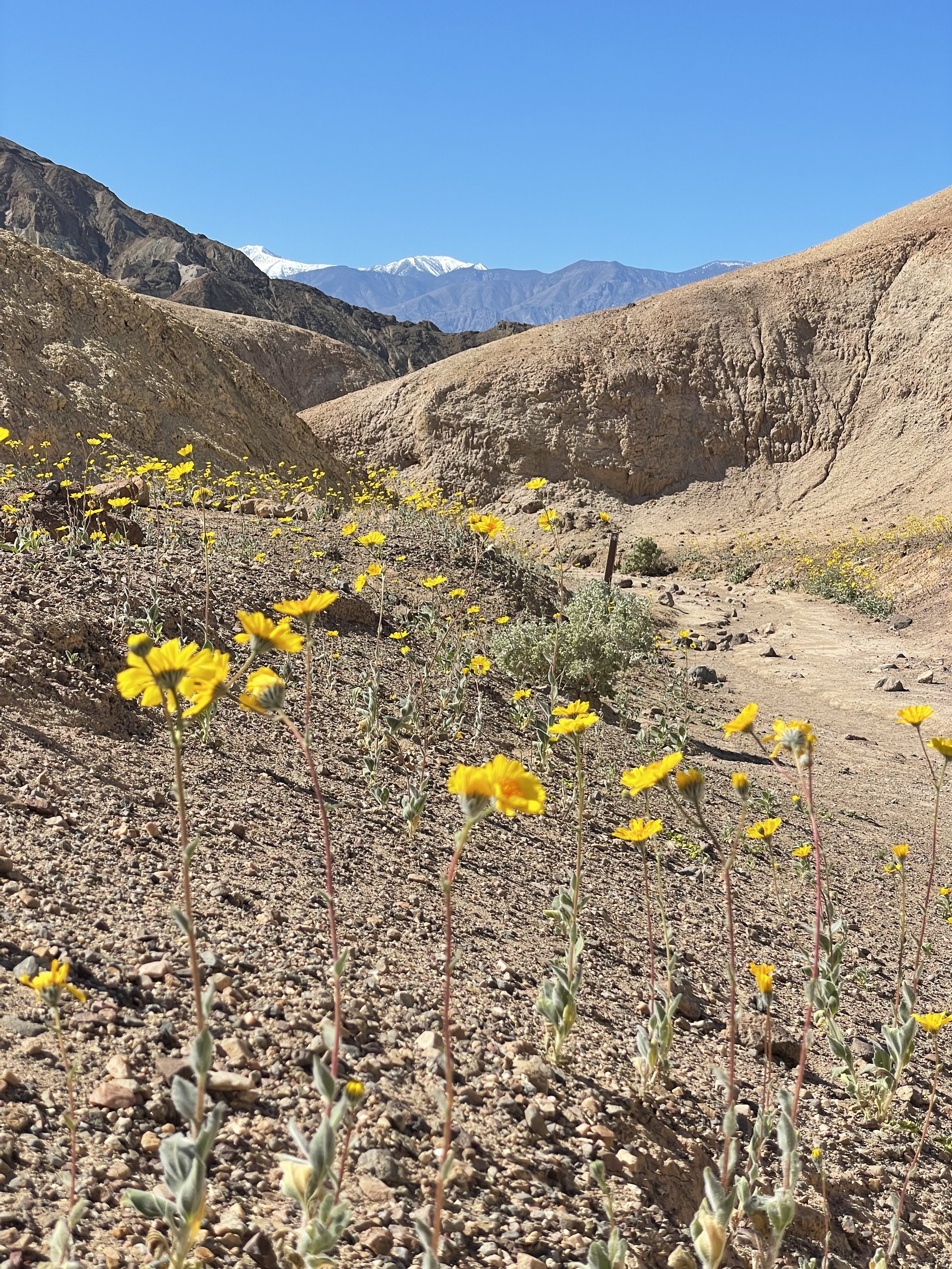
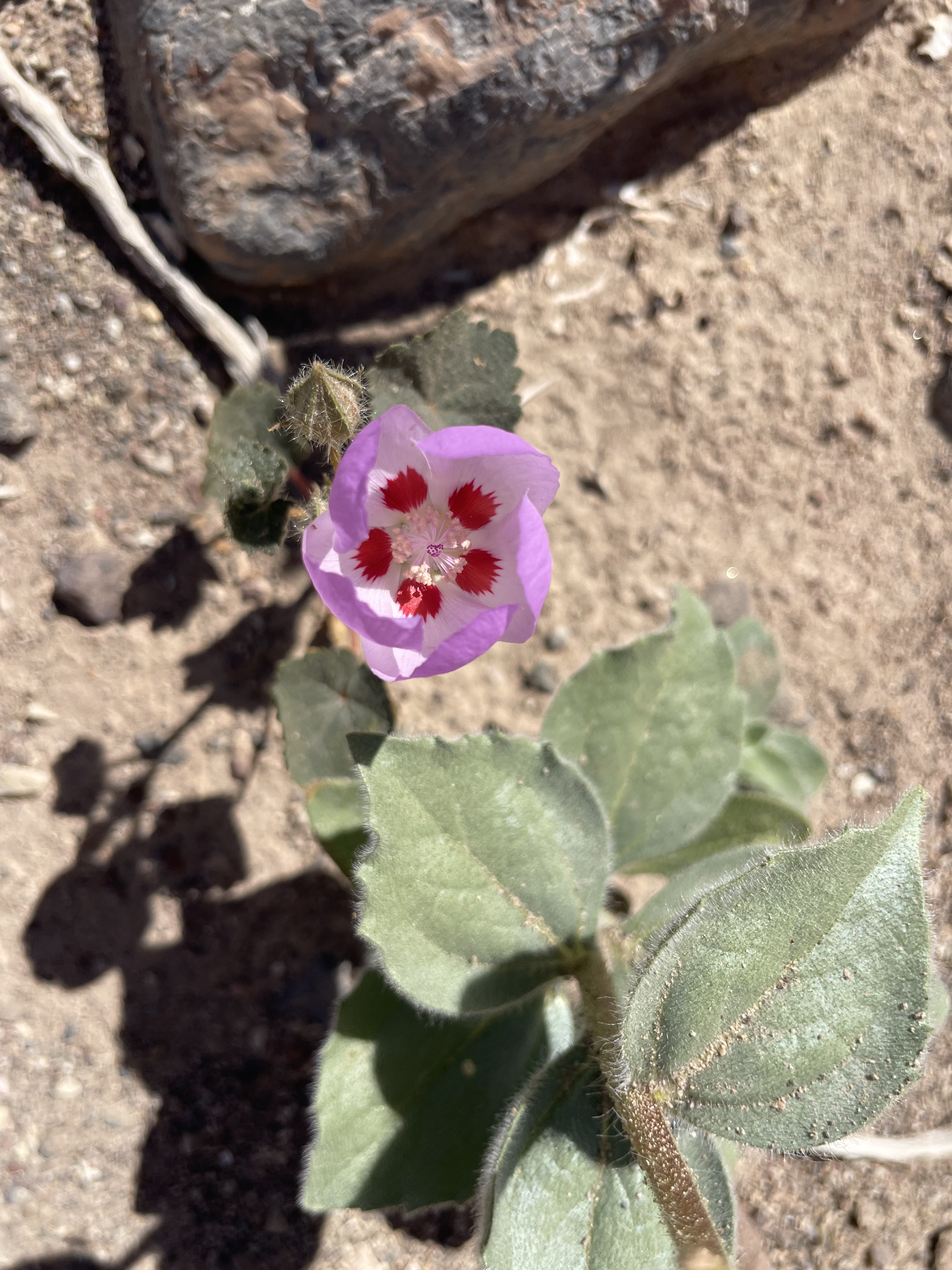
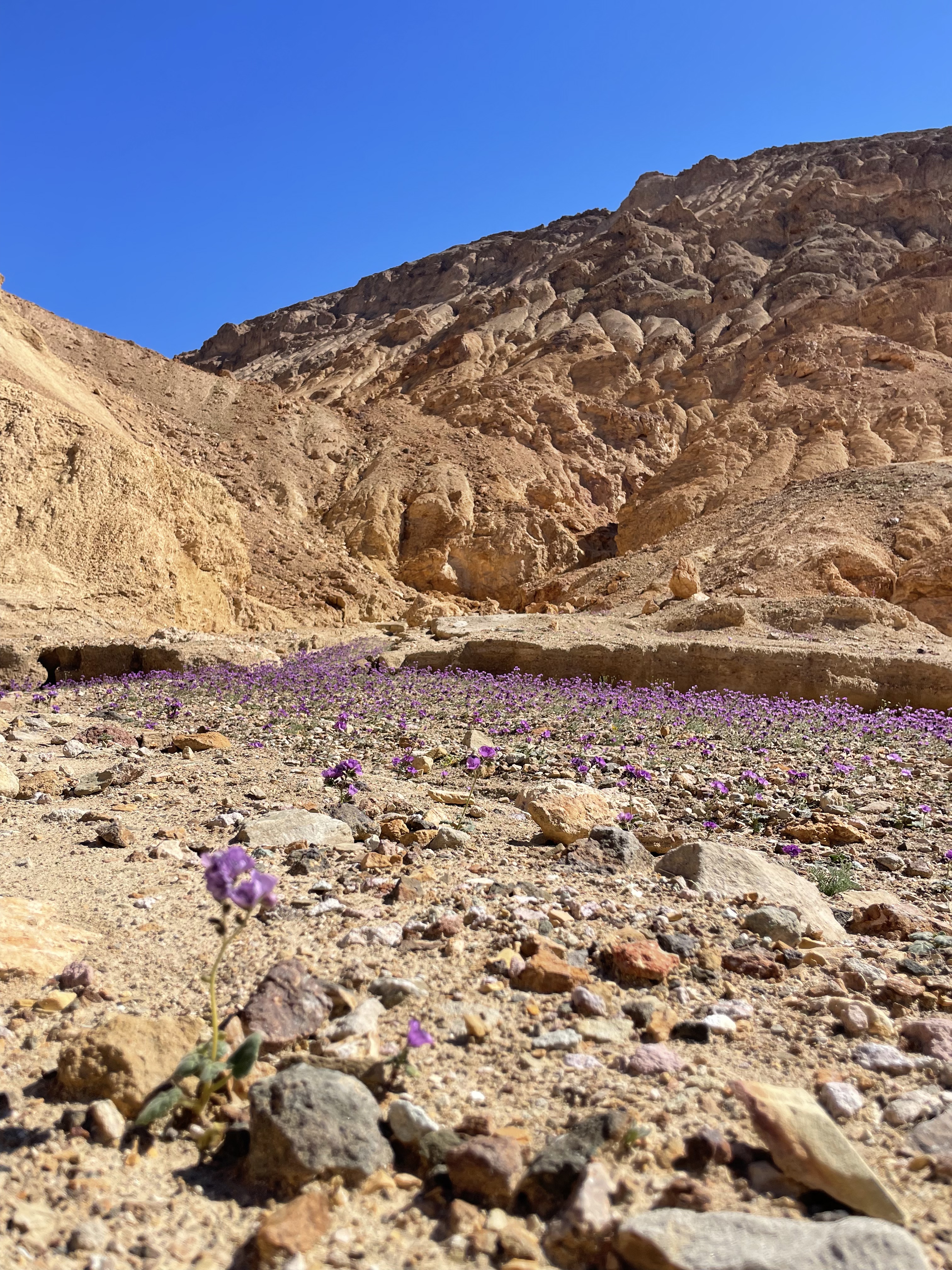
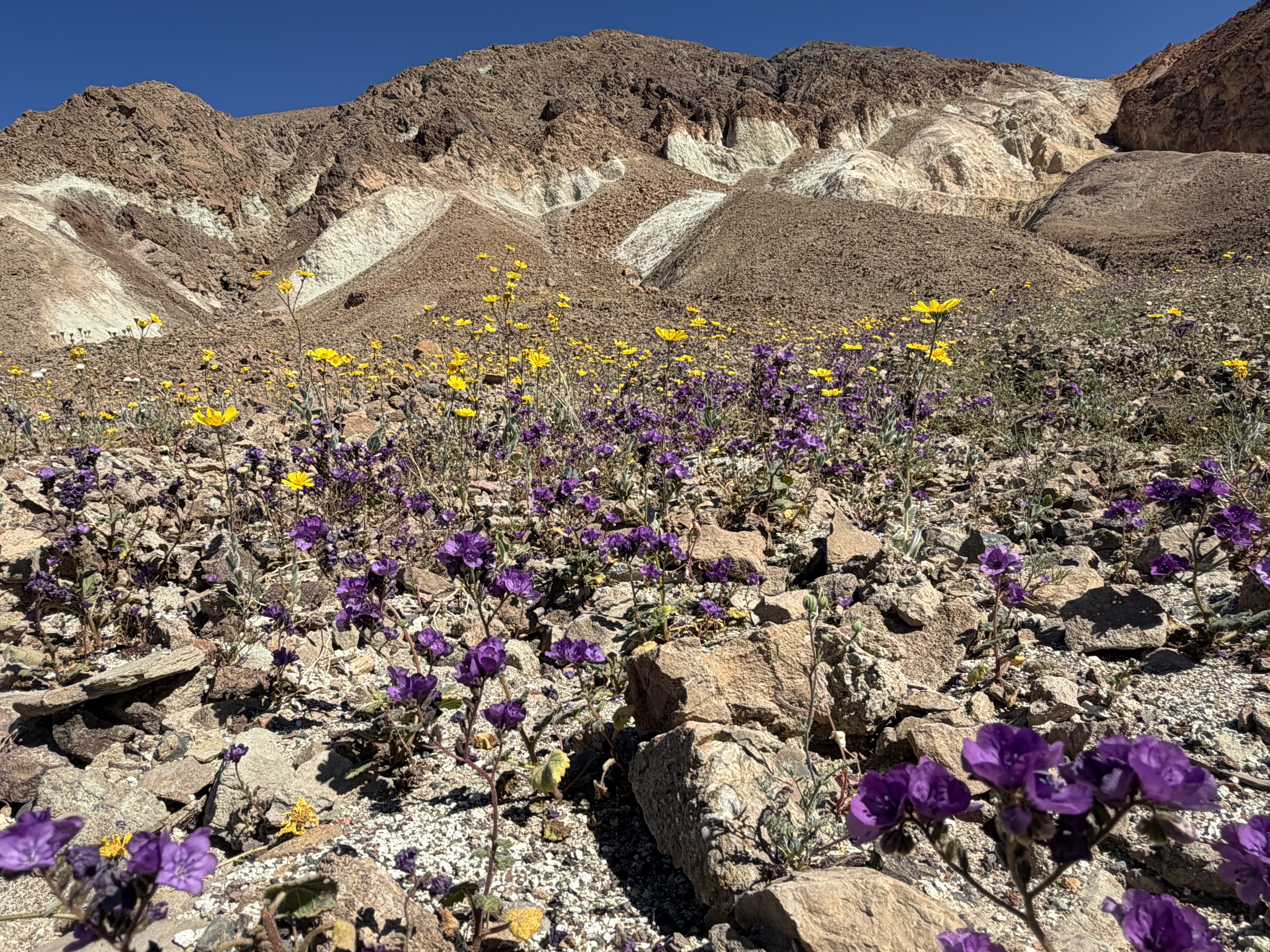
On our way there, we encountered miles and miles of wildflowers – part of the 2026 superbloom event. We couldn’t believe our luck.
NOTE: If you visit wildflowers like this, please remember to leave no trace – do not pick them, and avoid walking through them or creating trails. Small mistakes by hundreds of people could mean flowers never bloom in that spot again.
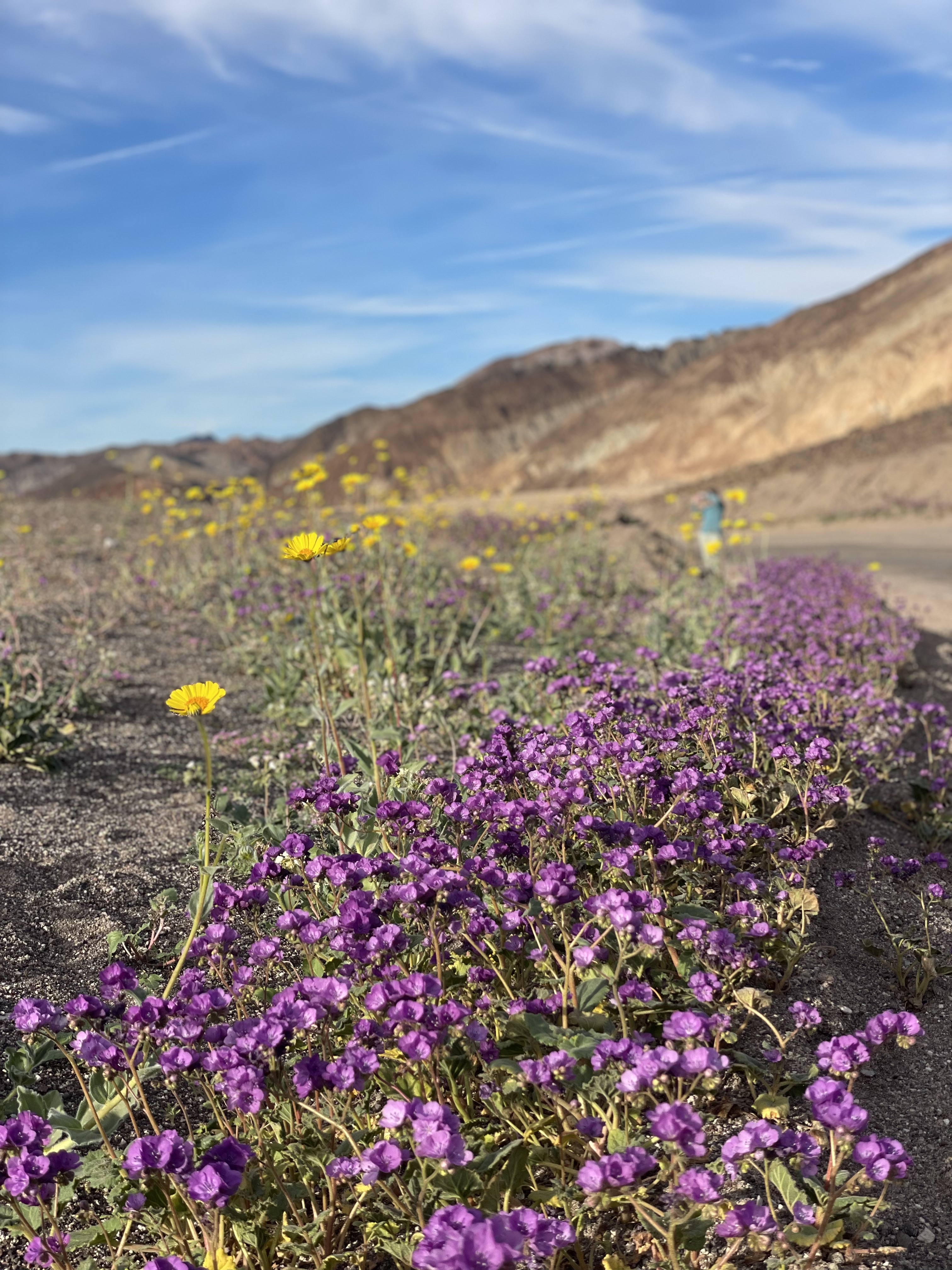
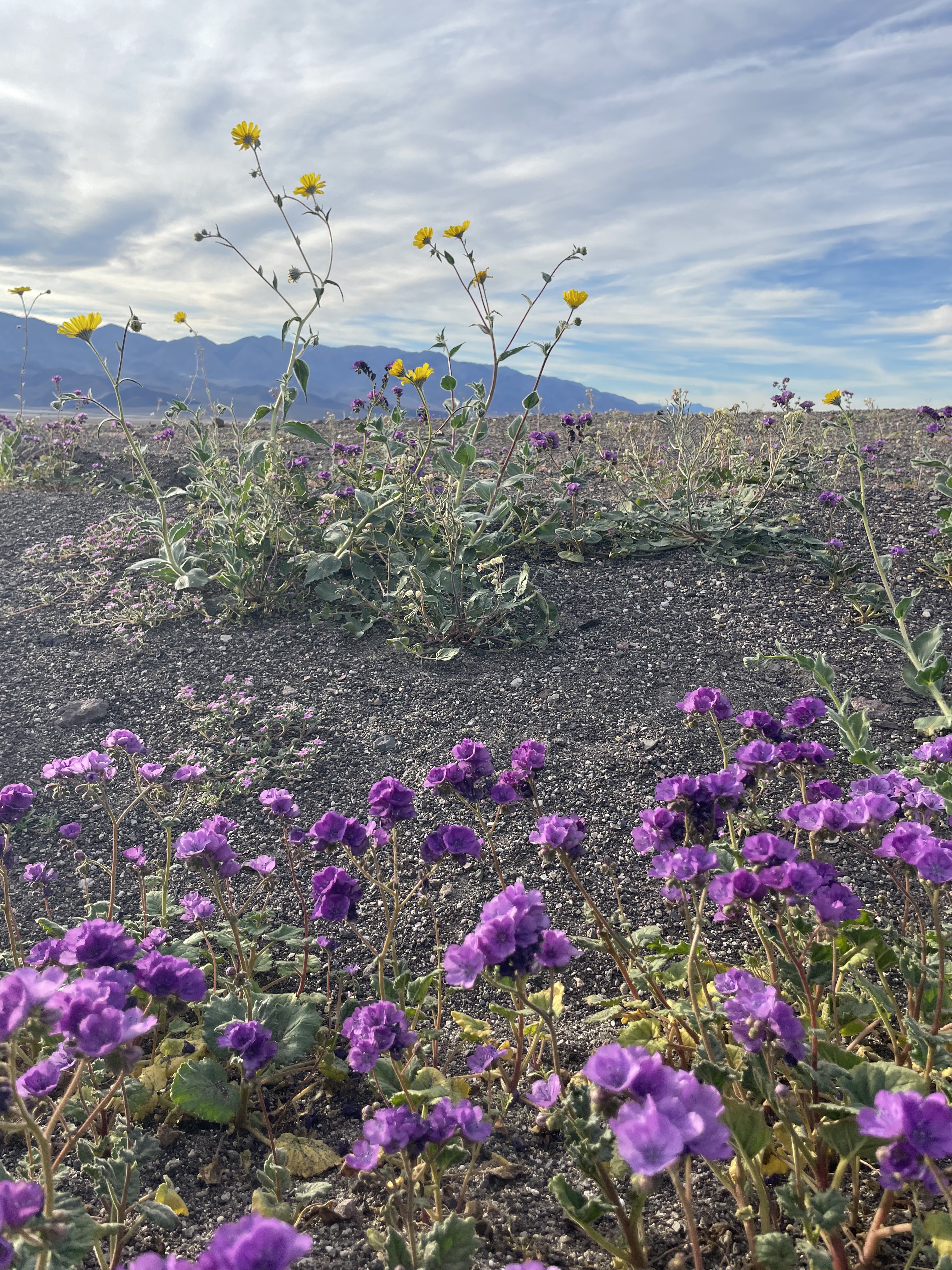
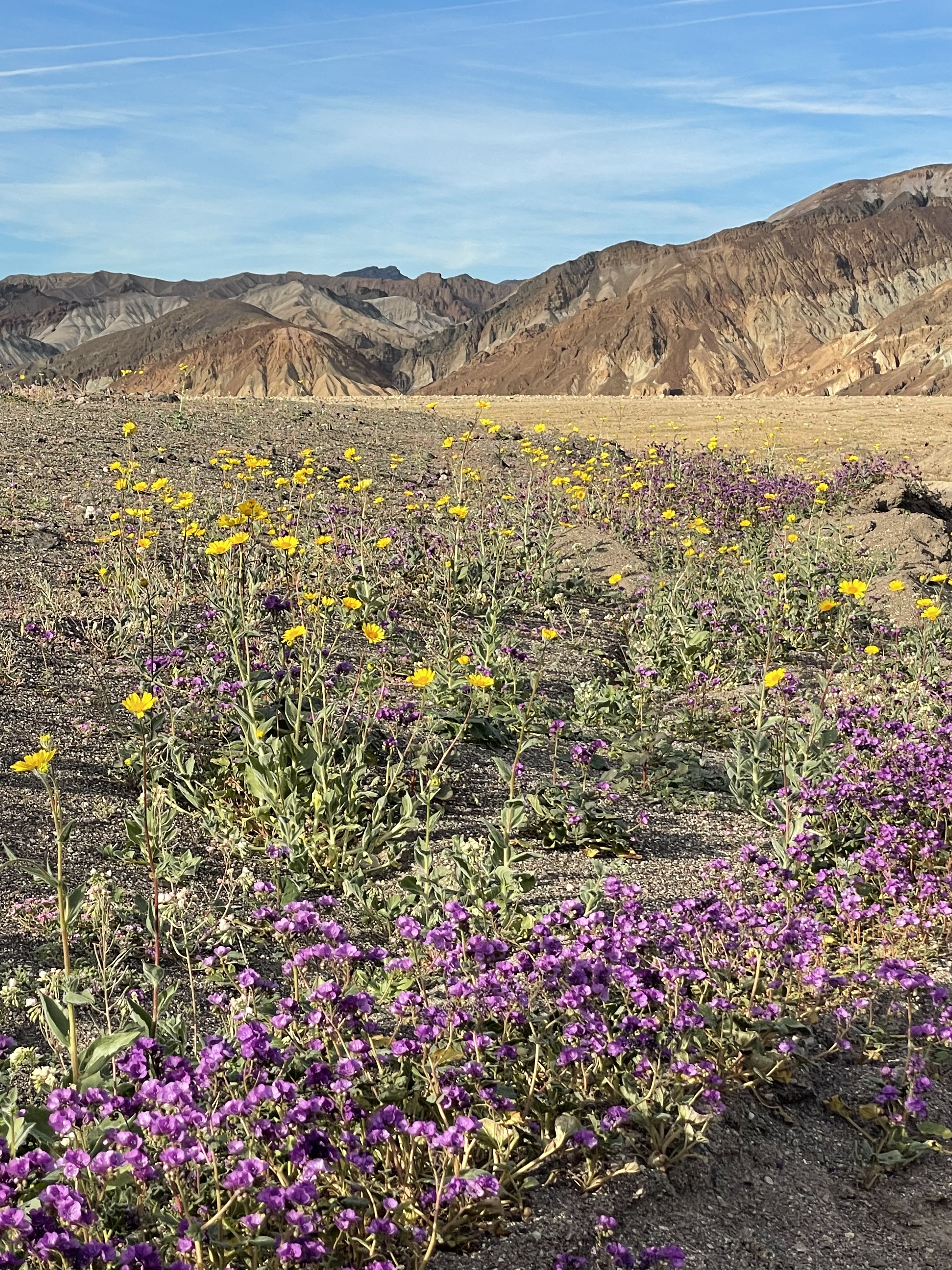
After stopping to enjoy the flowers (mostly desert gold and phacelia here), we continued on to Badwater Basin. We were again lucky to enjoy the temporary appearance of Lake Manly on the salt flats – caused by recent rains for the first time in years.
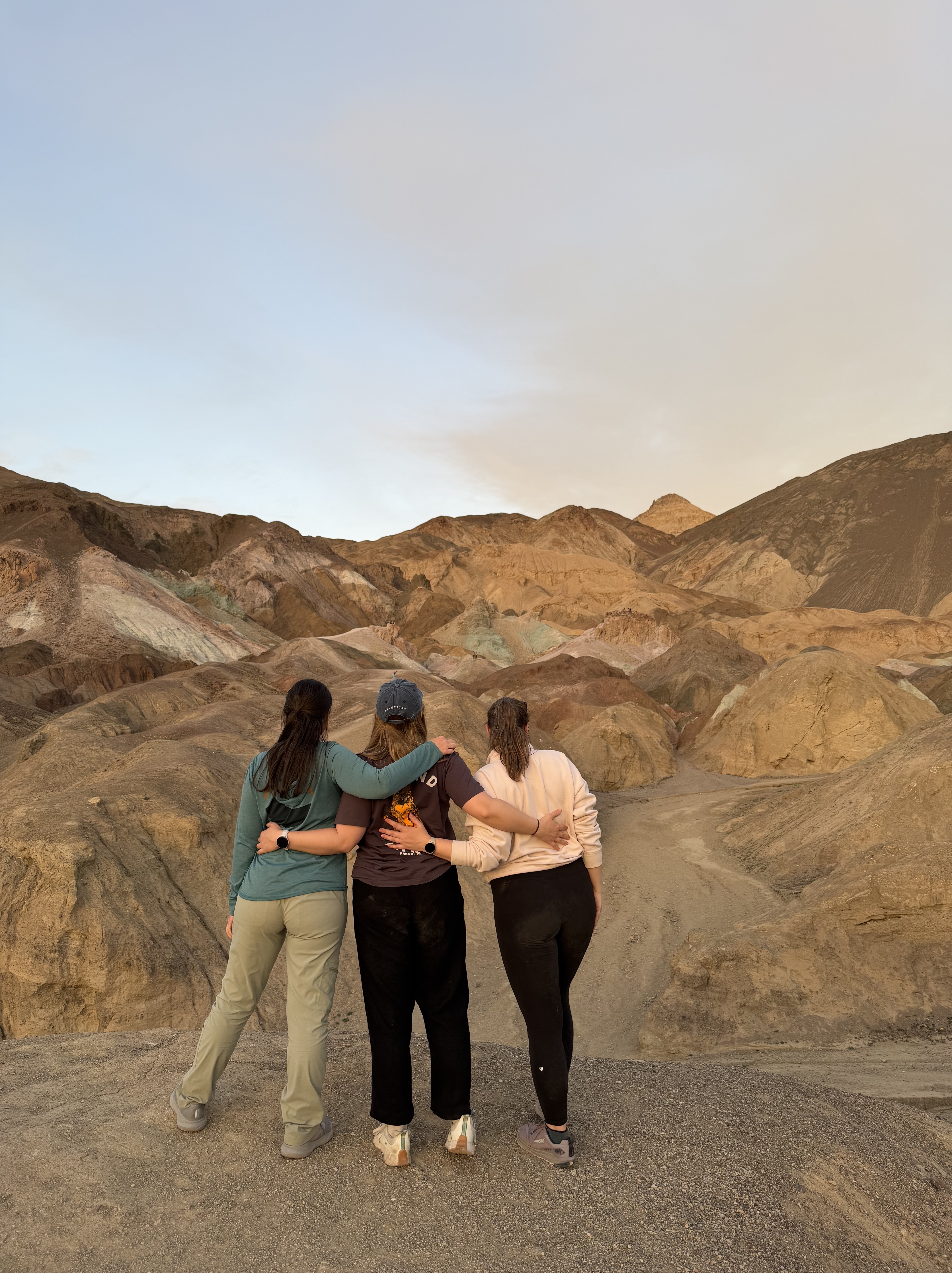
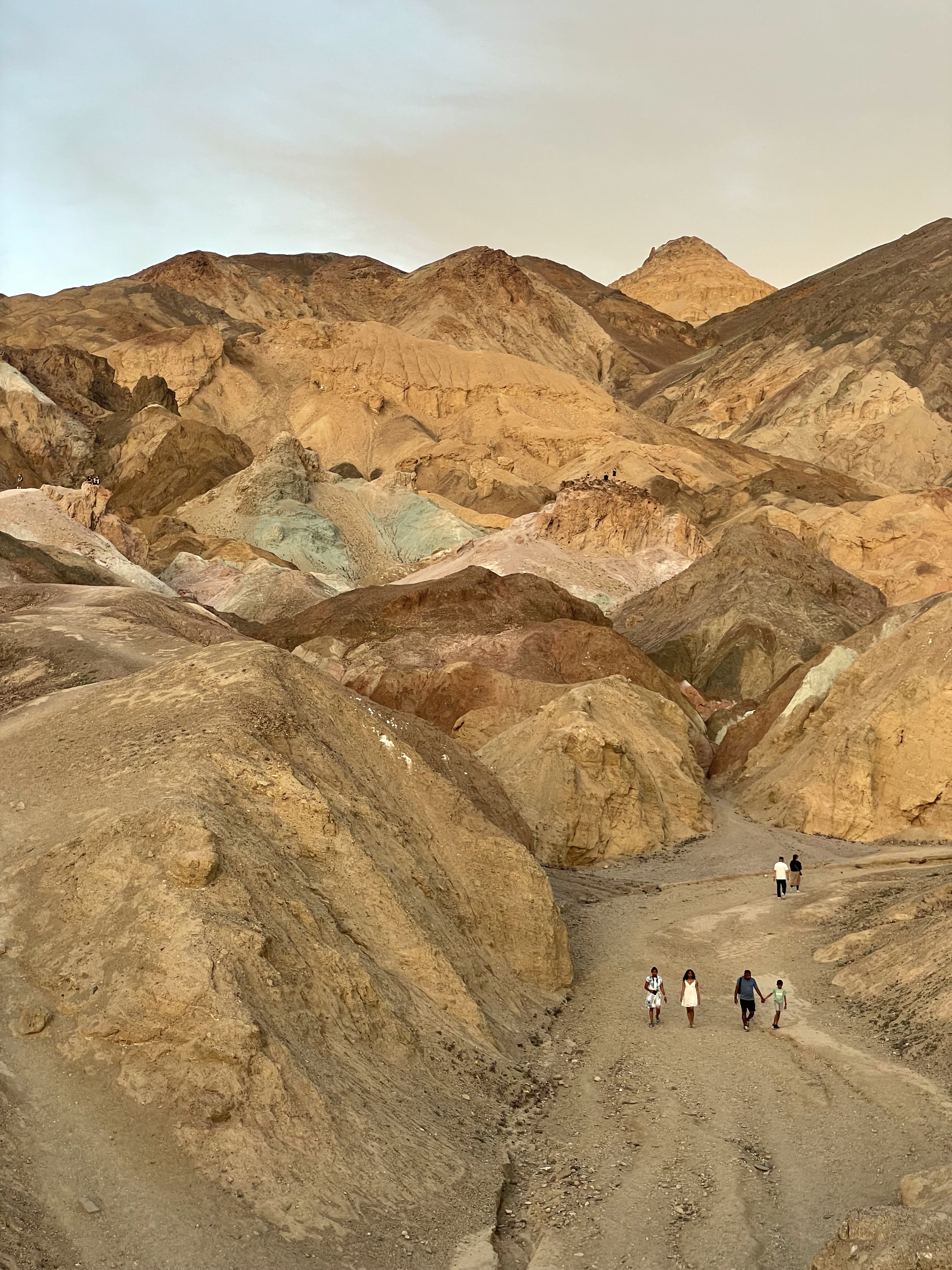
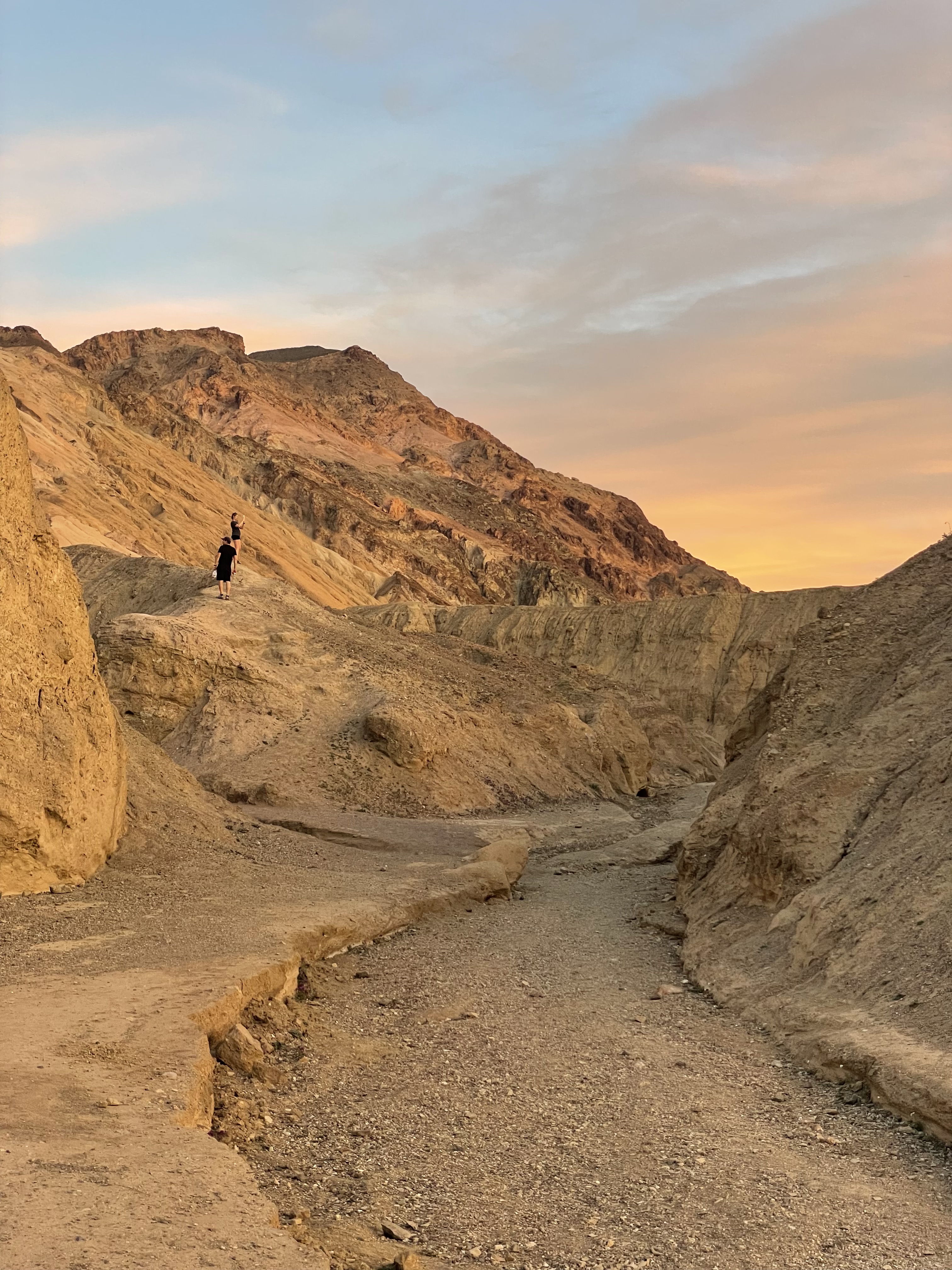
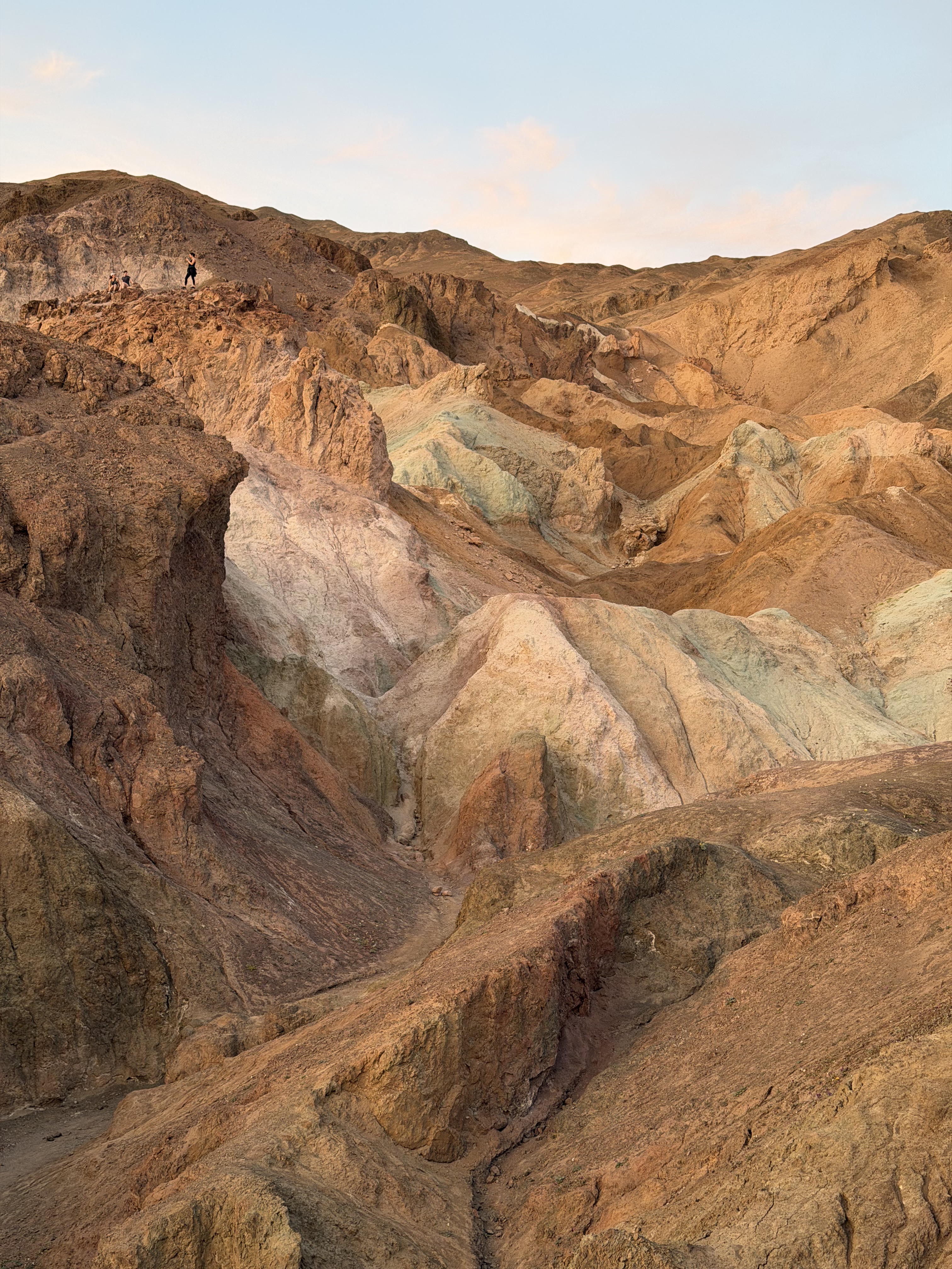
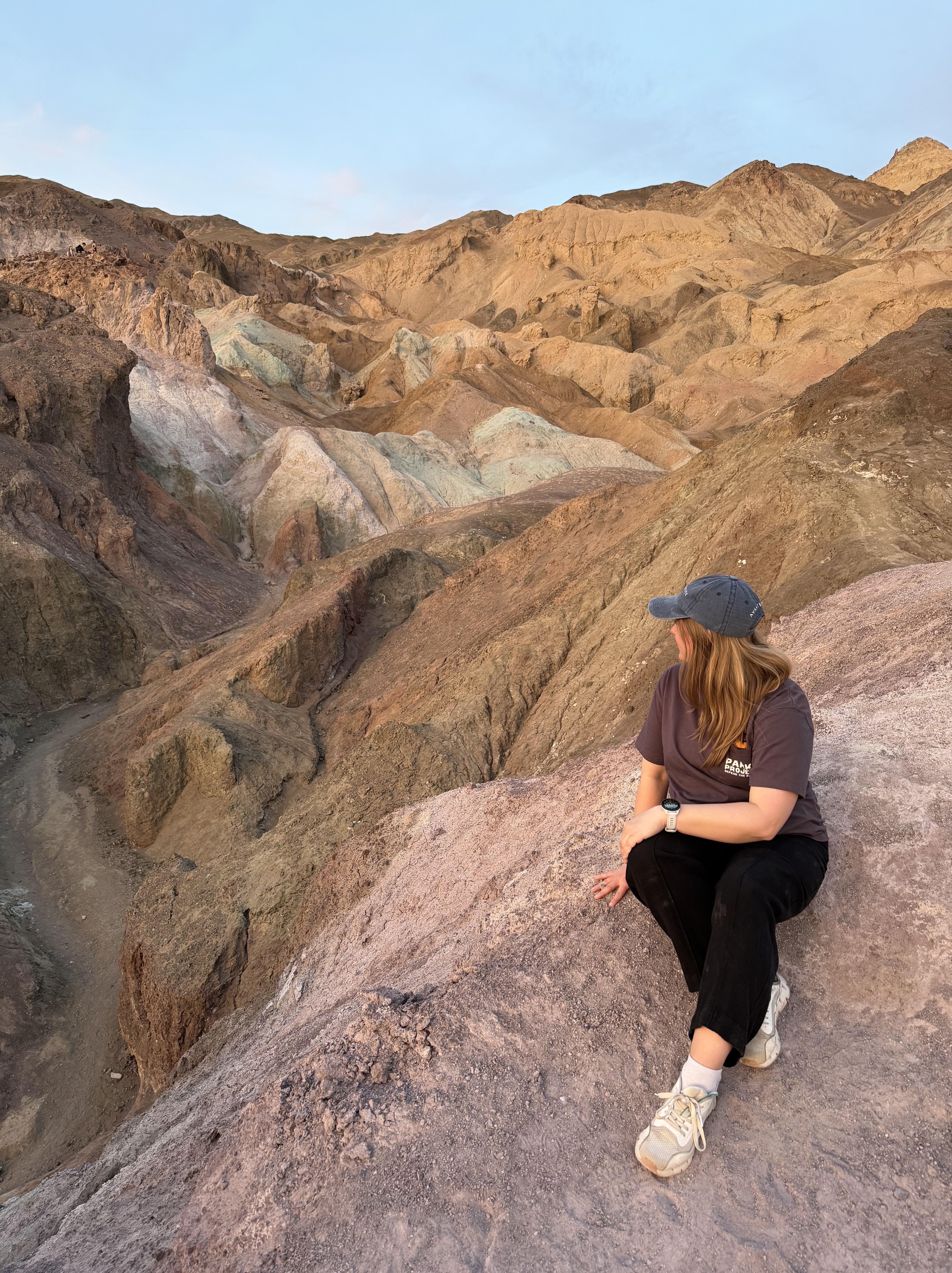
Artists Palette
From Badwater Basin, we made our way to Artists Palette Drive, timed perfectly for golden hour and sunset. There, we enjoyed the rocks’ wide array of natural pastel colors.
Over 5 million years ago, volcanic activity deposited ore and ash all over this area. Over time, tectonic forces and erosion transformed those deposits into iron, manganese, and mica, which were further eroded and exposed to oxygen, oxidizing the minerals into these colors. Erosion of the hills revealed the oxidized rock over time, providing these gorgeous views we see today!
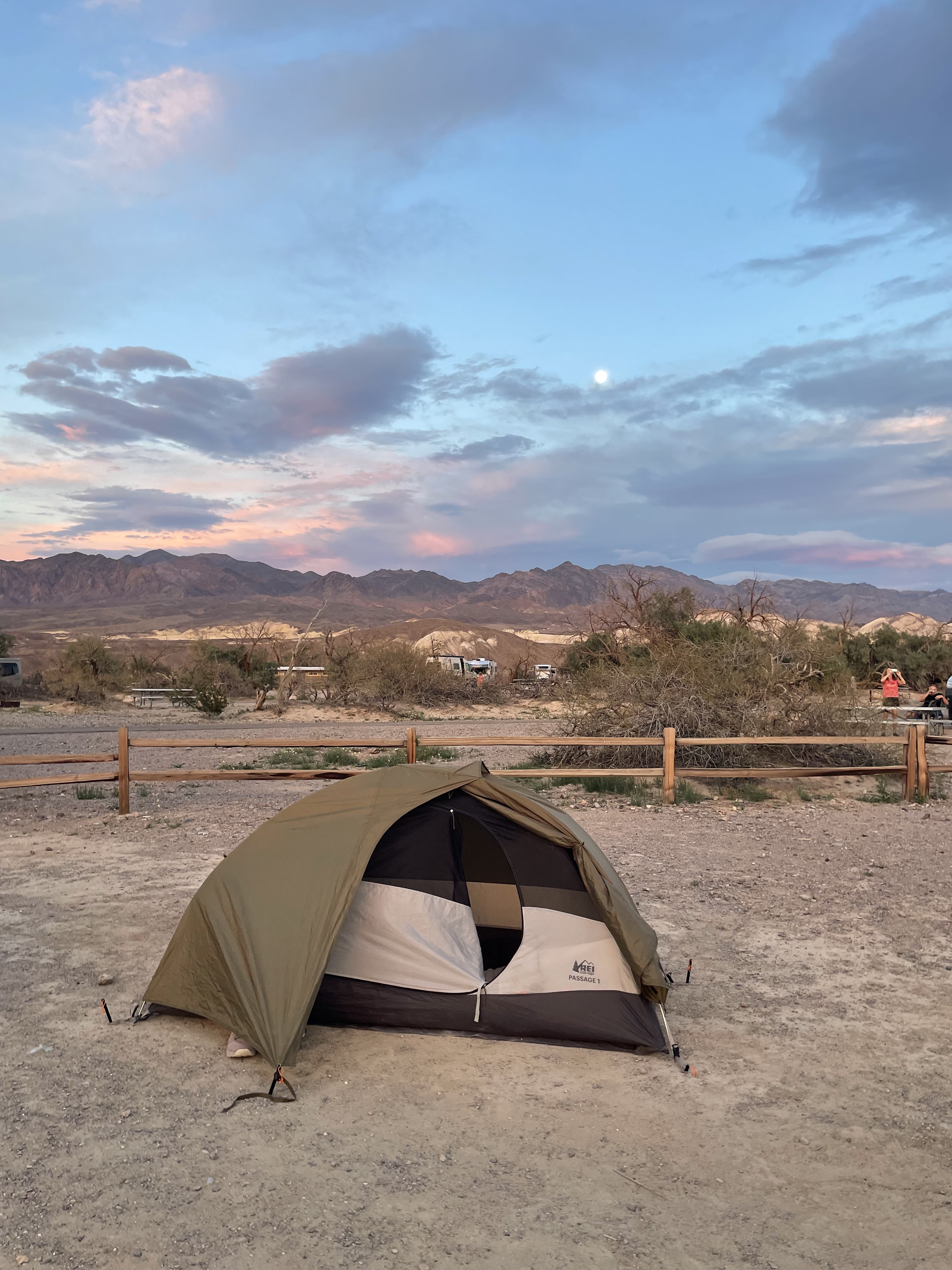
As the sun set around us, we made our way to Furnace Creek Campground to get set up in the dark and make dinner as best we could.
Day 2: Hiking, Views, Flowers, and Dunes
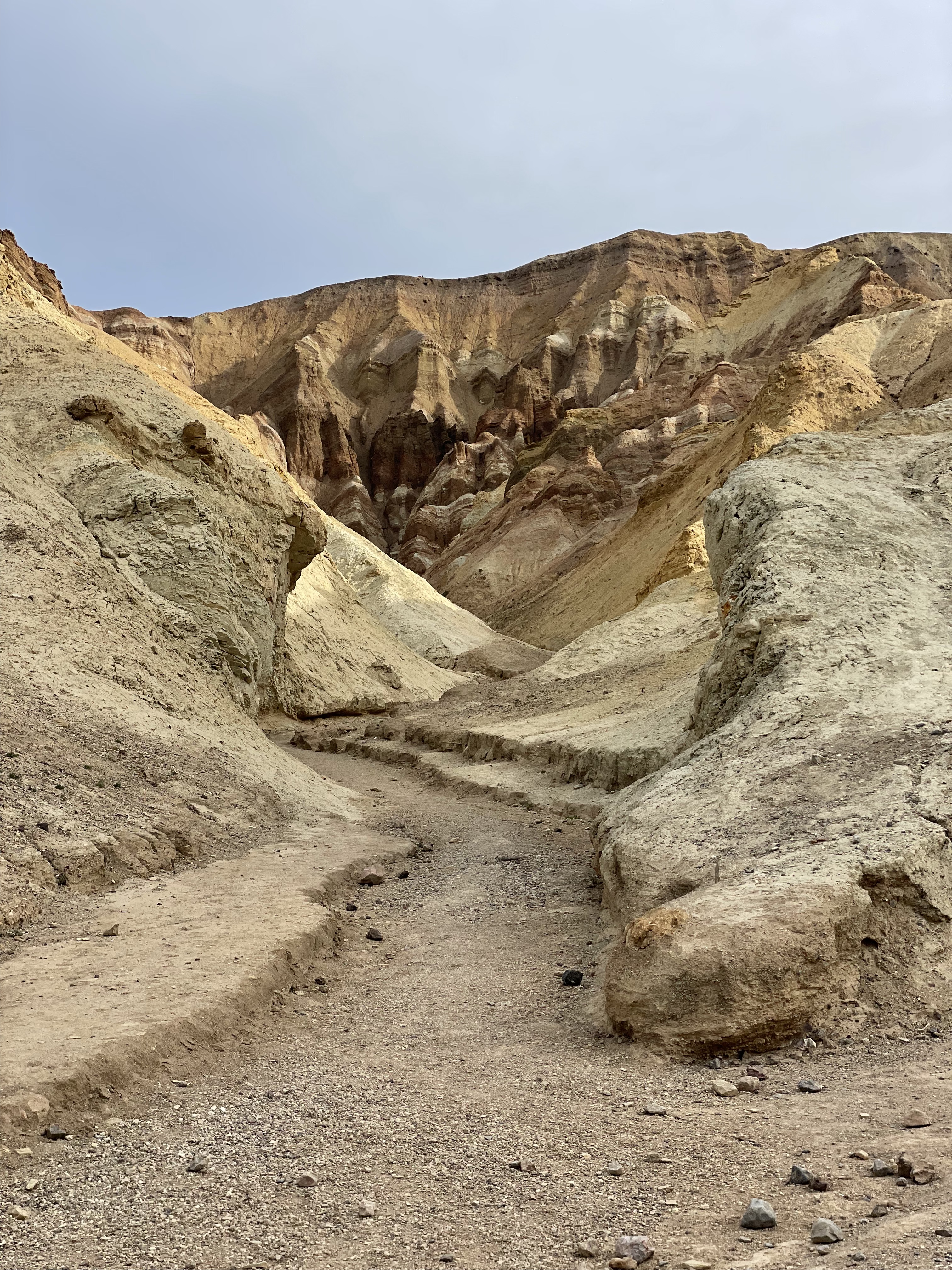
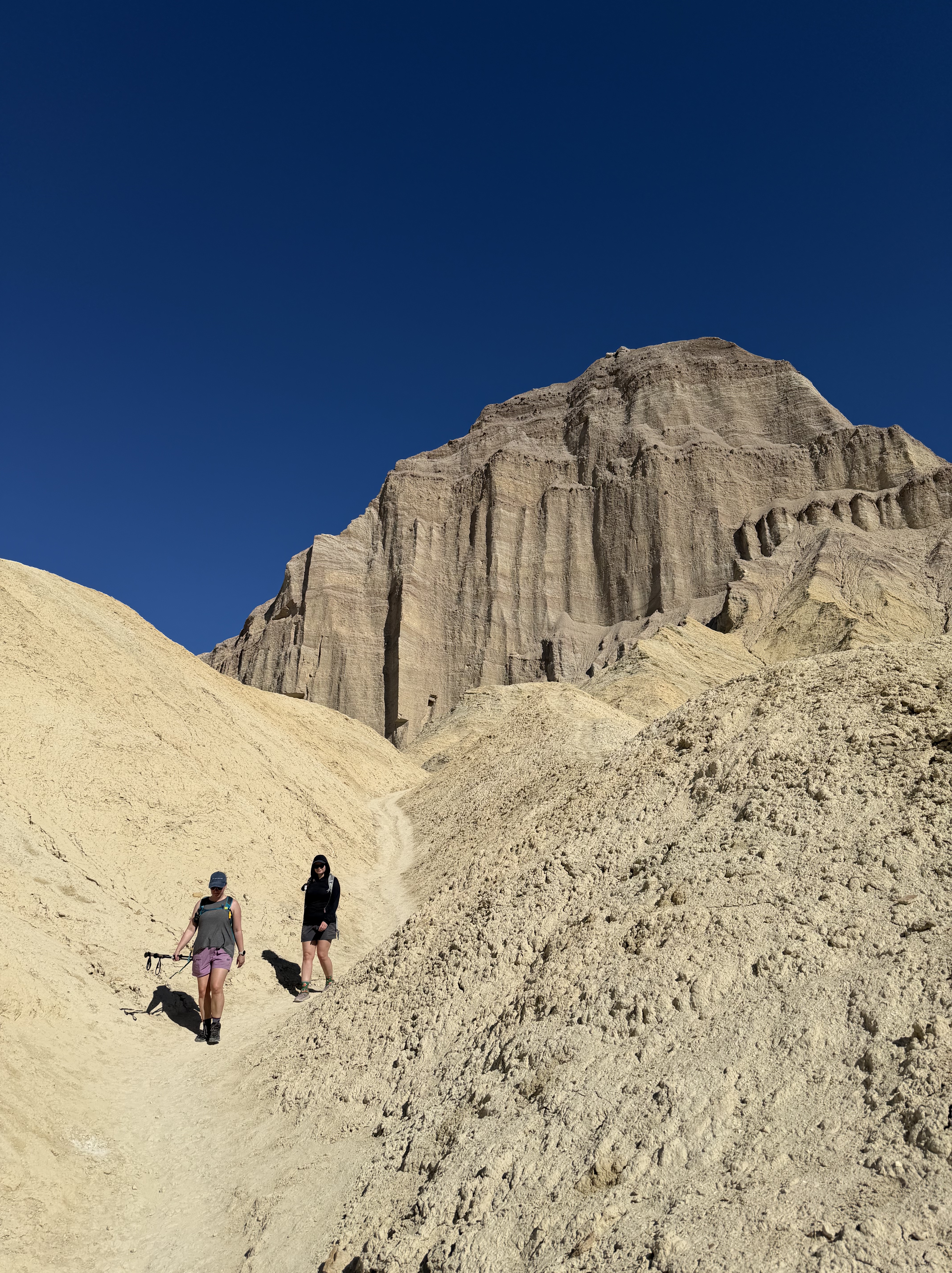
Hiking Golden Canyon
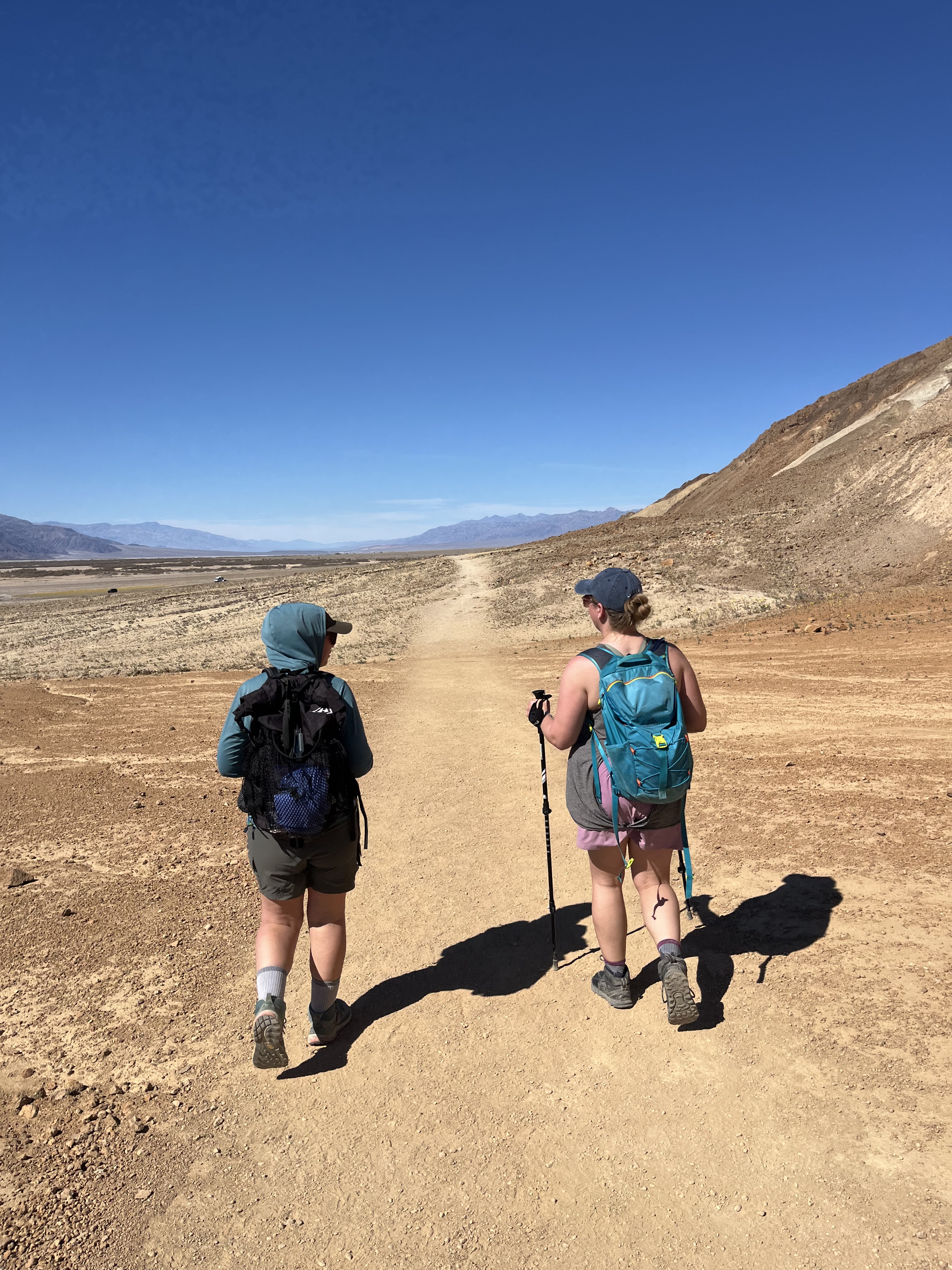
We began Saturday (our first full day in the park) early, hoping to beat the heat as we hiked to amazing views. It was late spring, so the park hadn’t reached its highest temperatures, but that still meant it would be 90 degrees at midday sun.
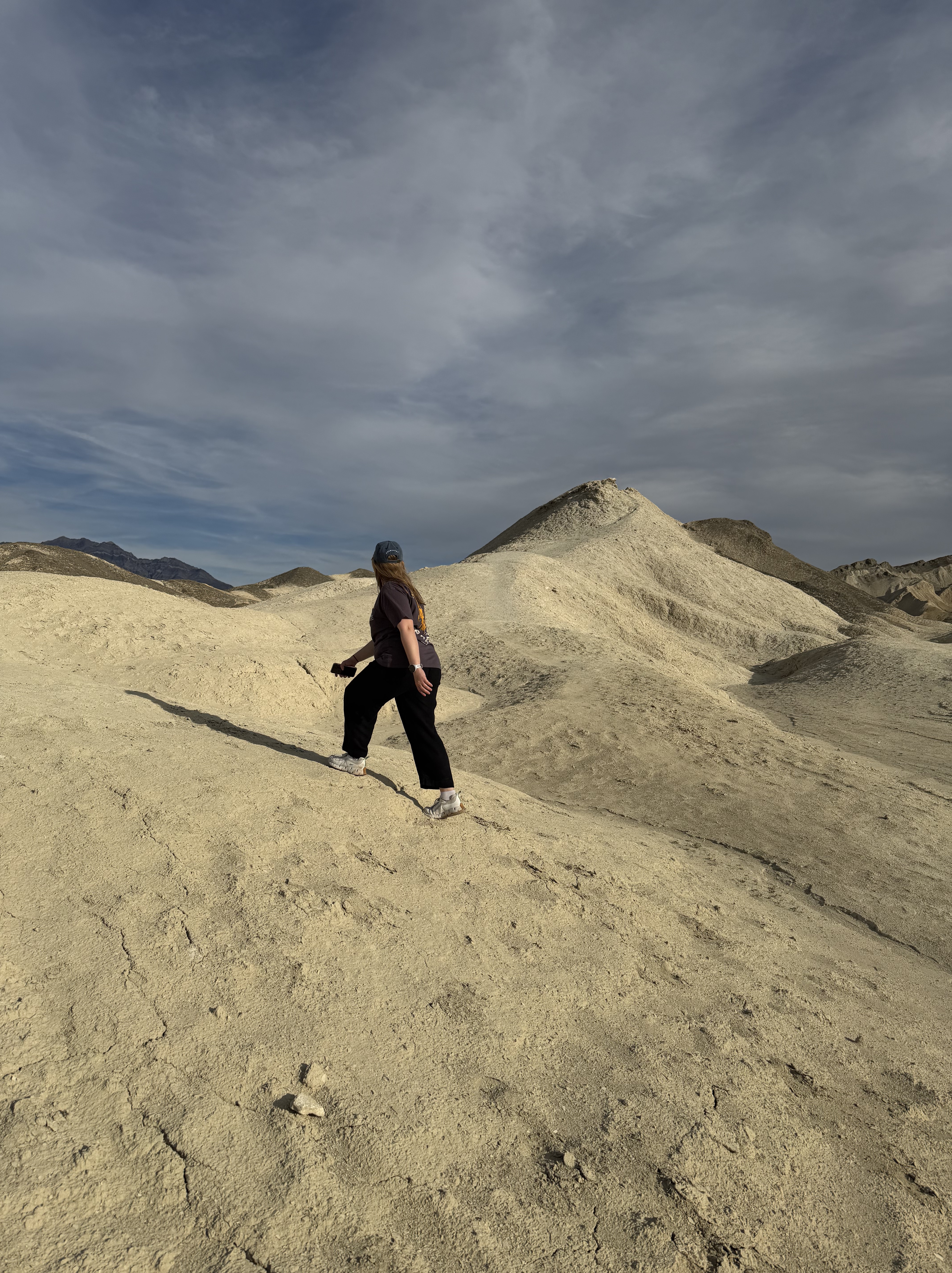
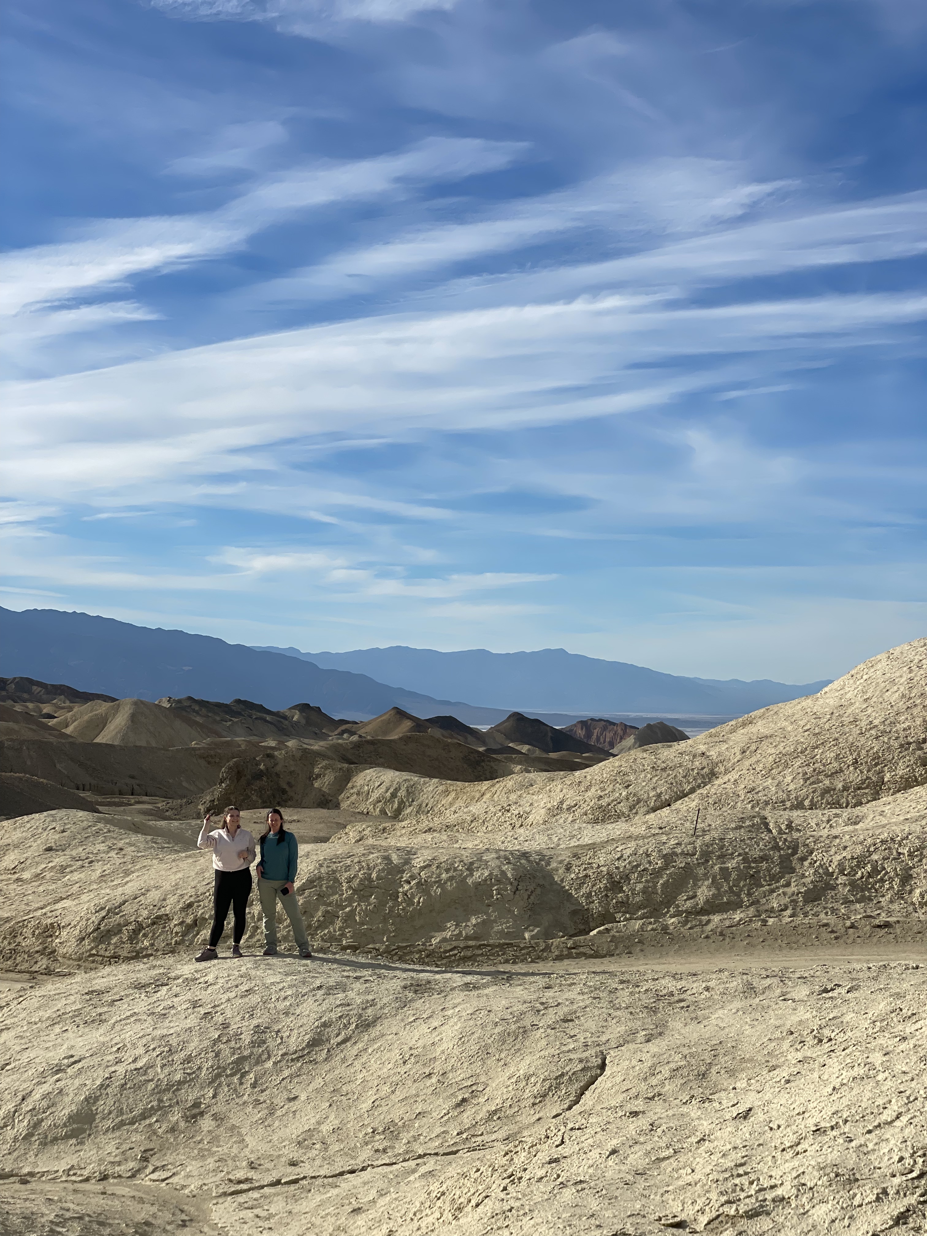
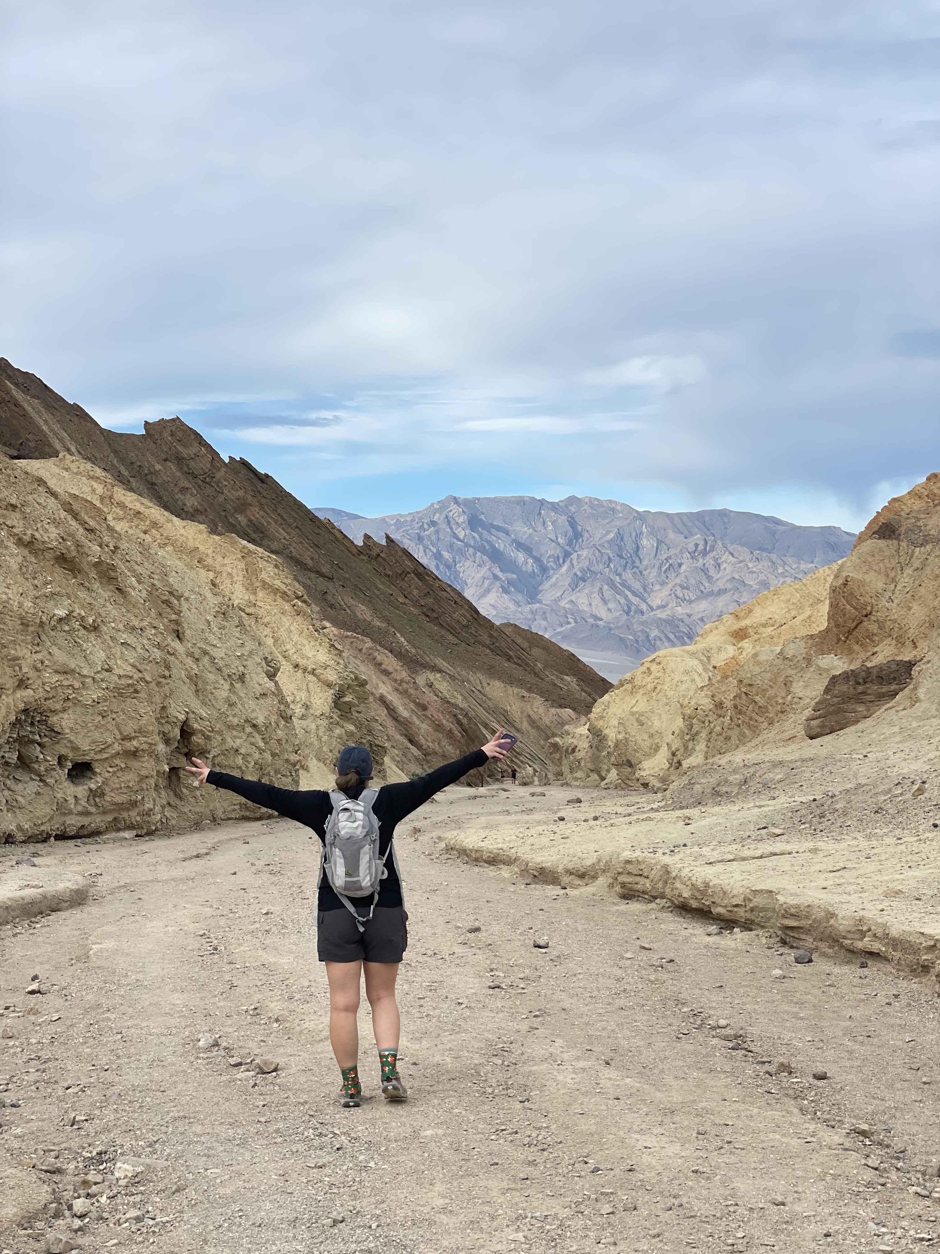
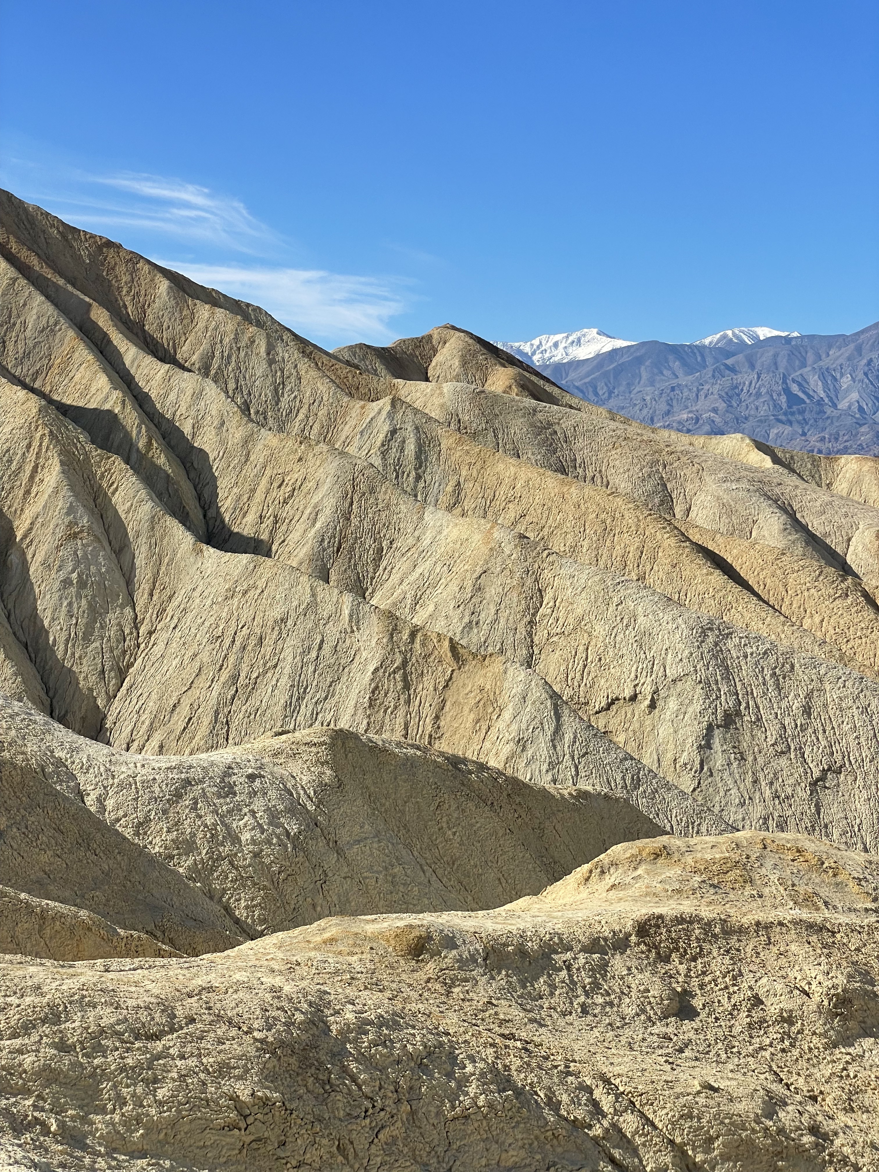
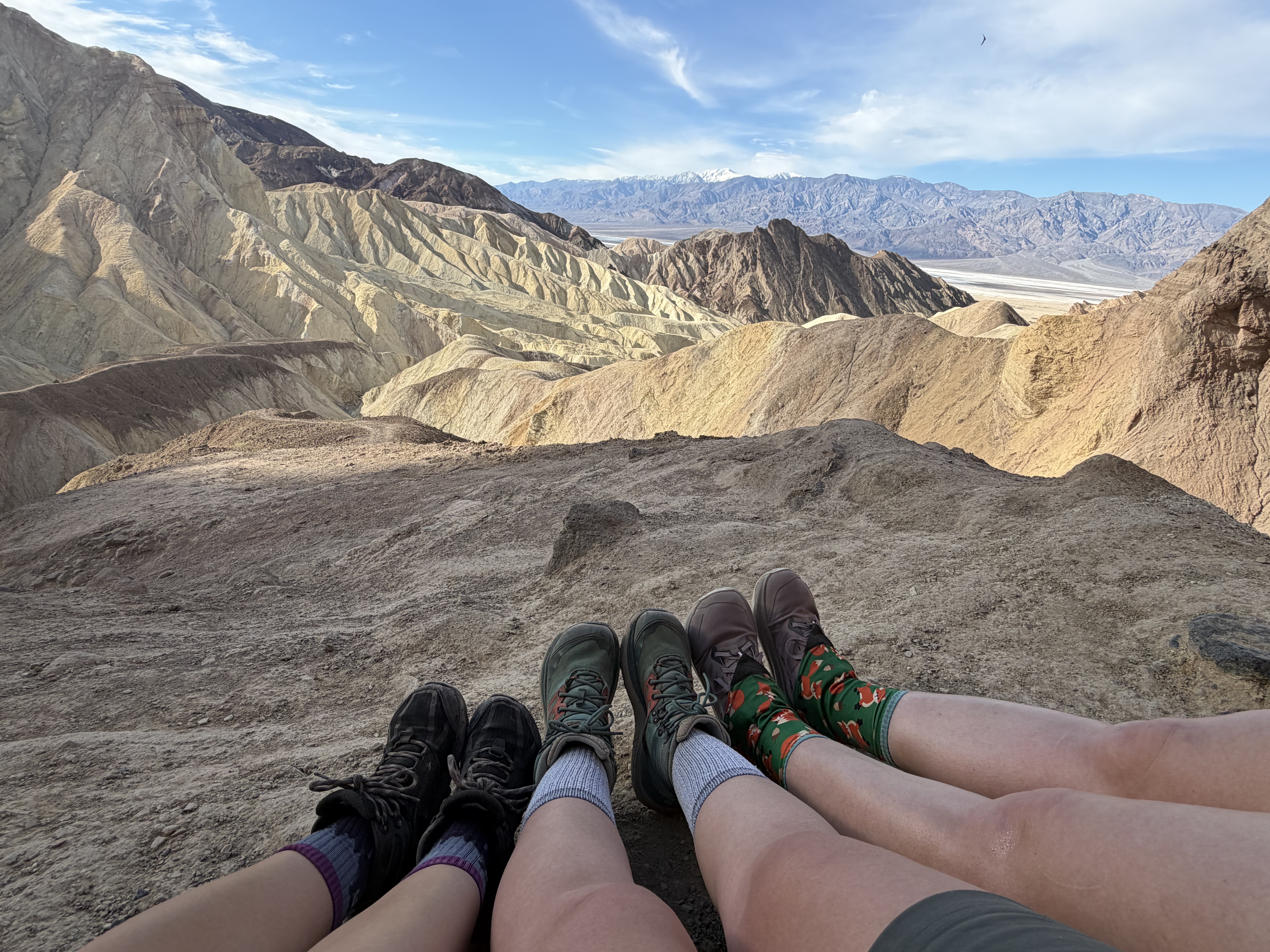
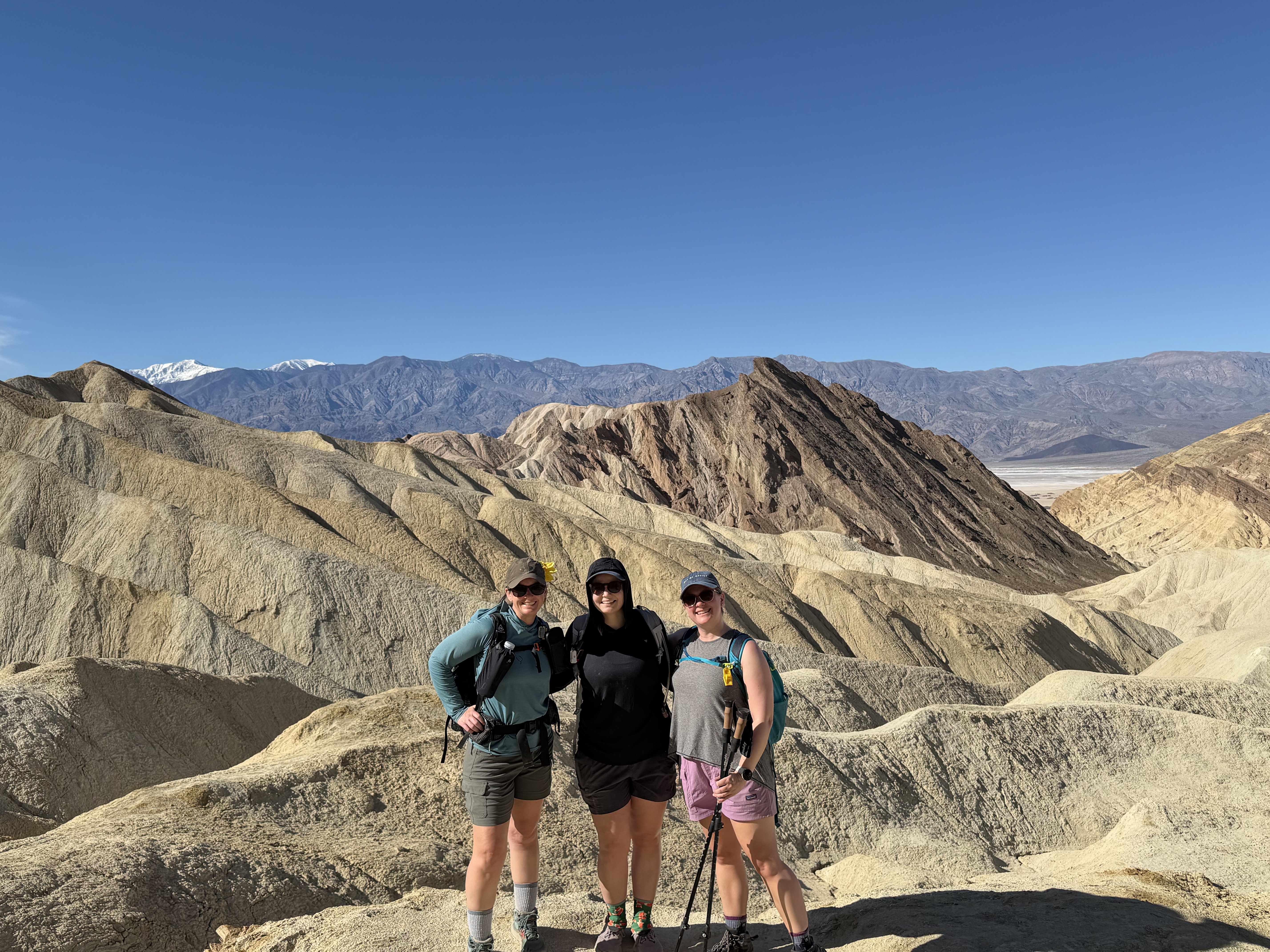
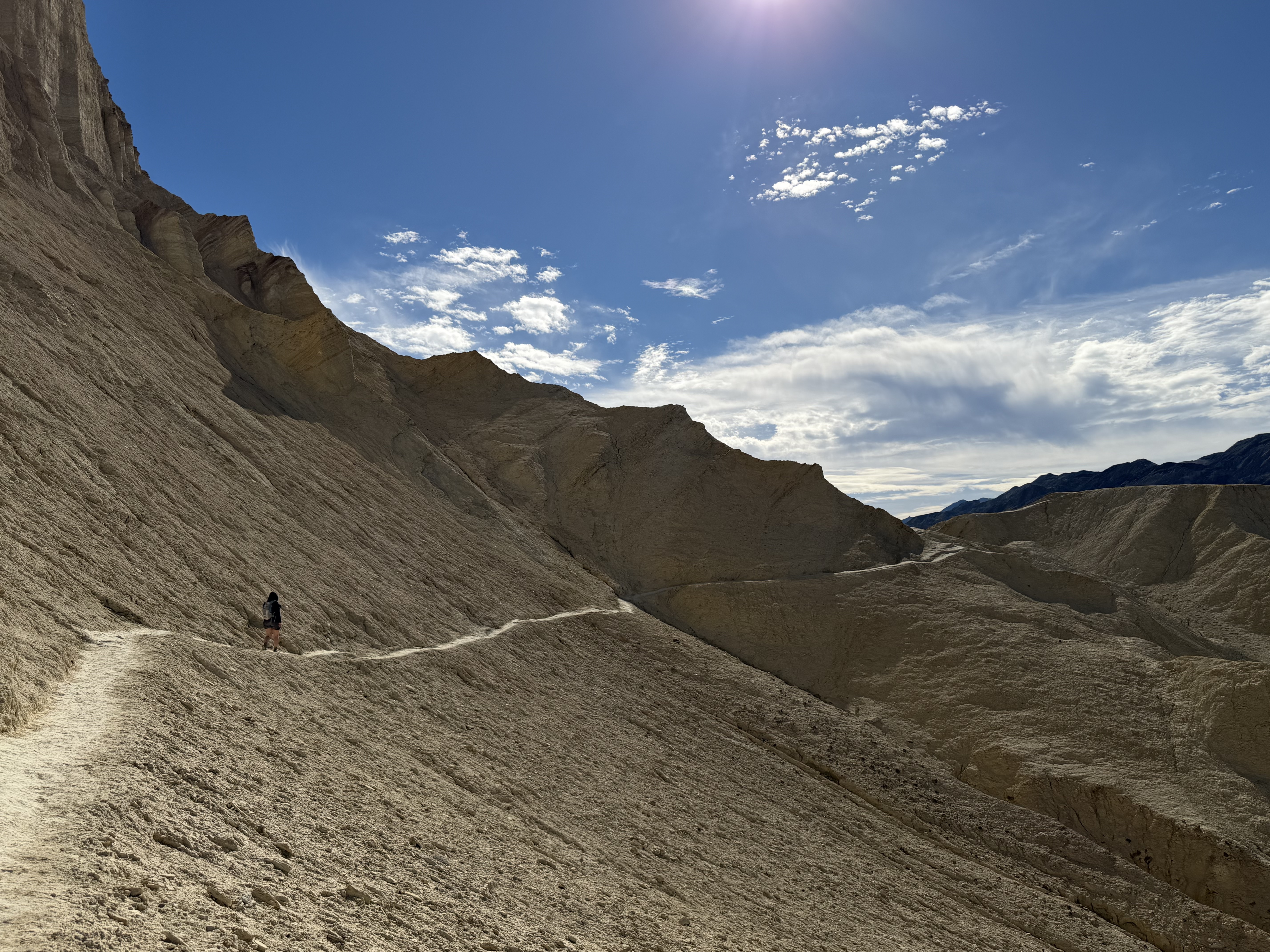
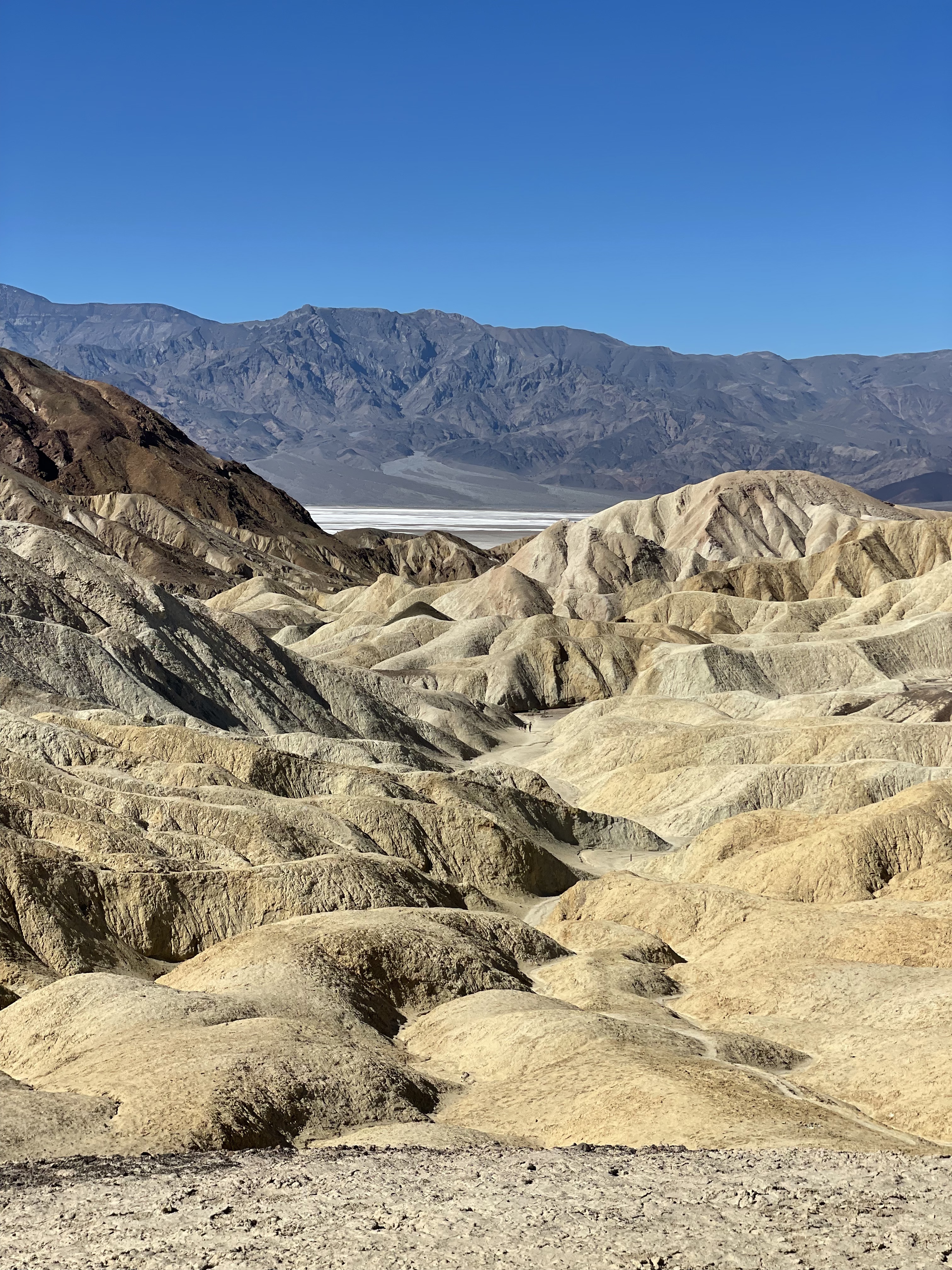
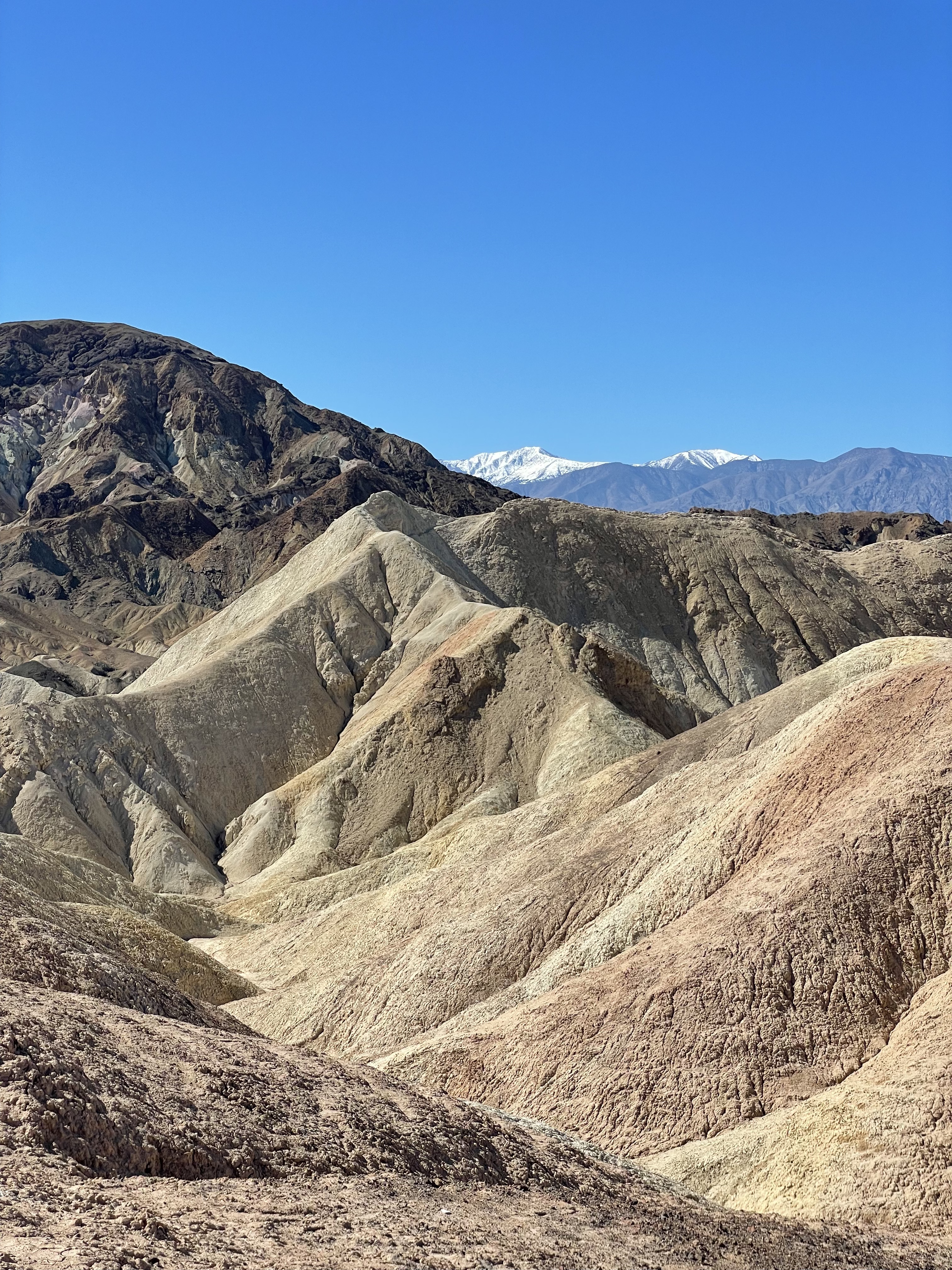
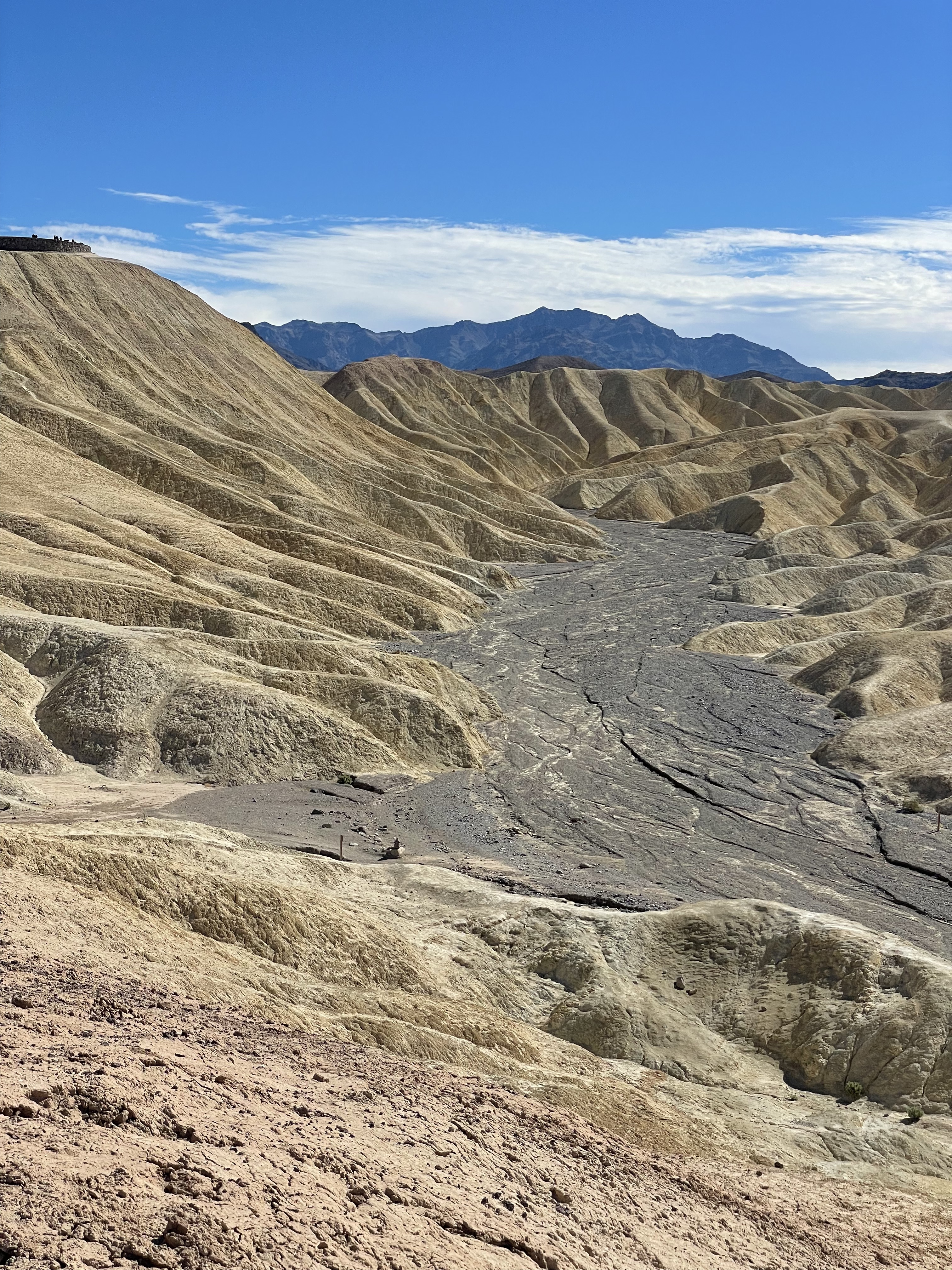
Our first hike of the trip was Golden Canyon – a stunning 7 mile loop that provides panoramic views of the valley, snowy peaks in the distance, red rocks, canyons that looked like the moon.
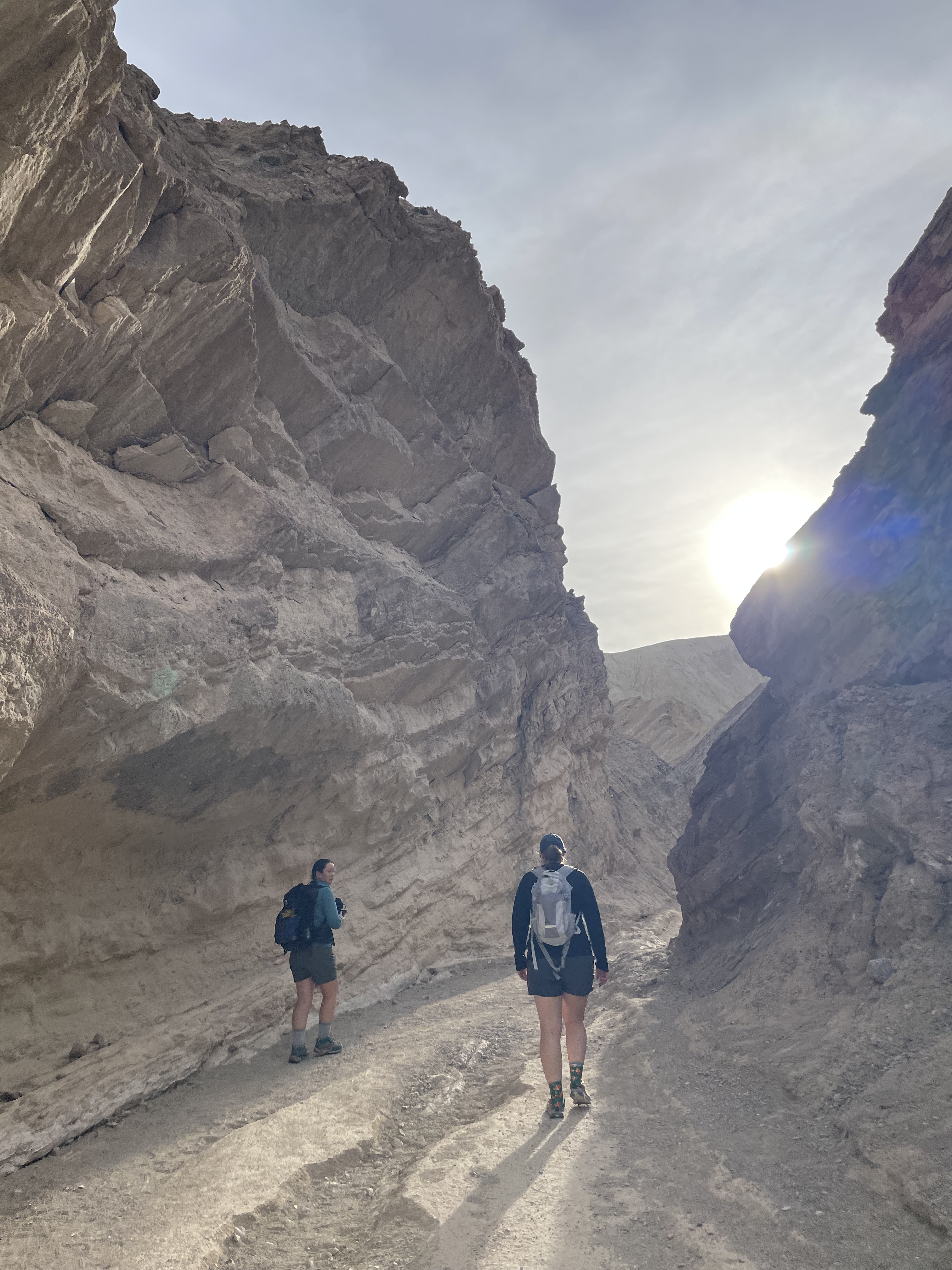
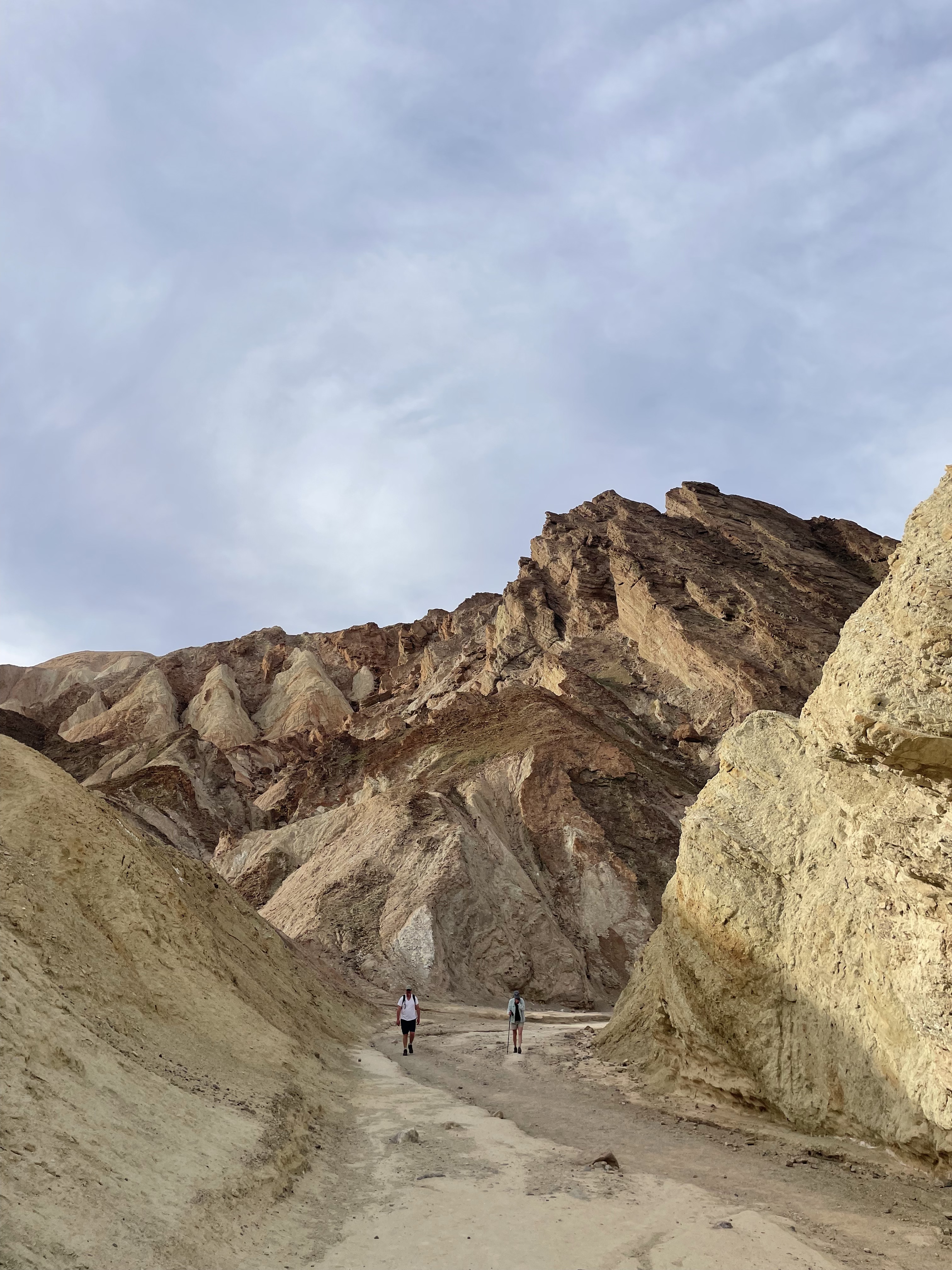
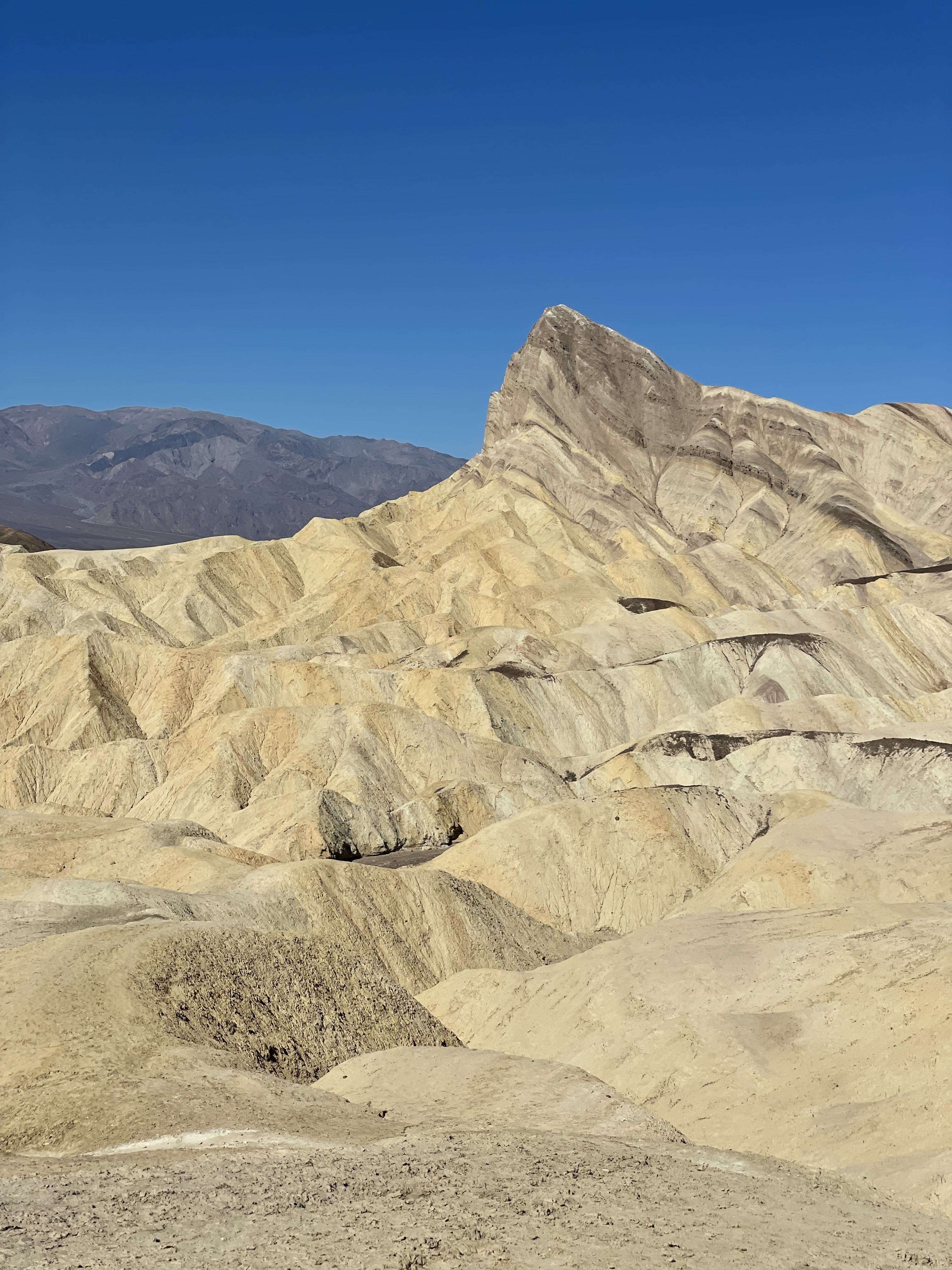
Shortly after starting this hike, we took a short spur trail up to Red Cathedral – the red rocks towering above us. A steep, gravelly trail led us to a majestic viewpoint of nearby badlands and the valley, and we got to do a bit of rock scrambling on the way there.
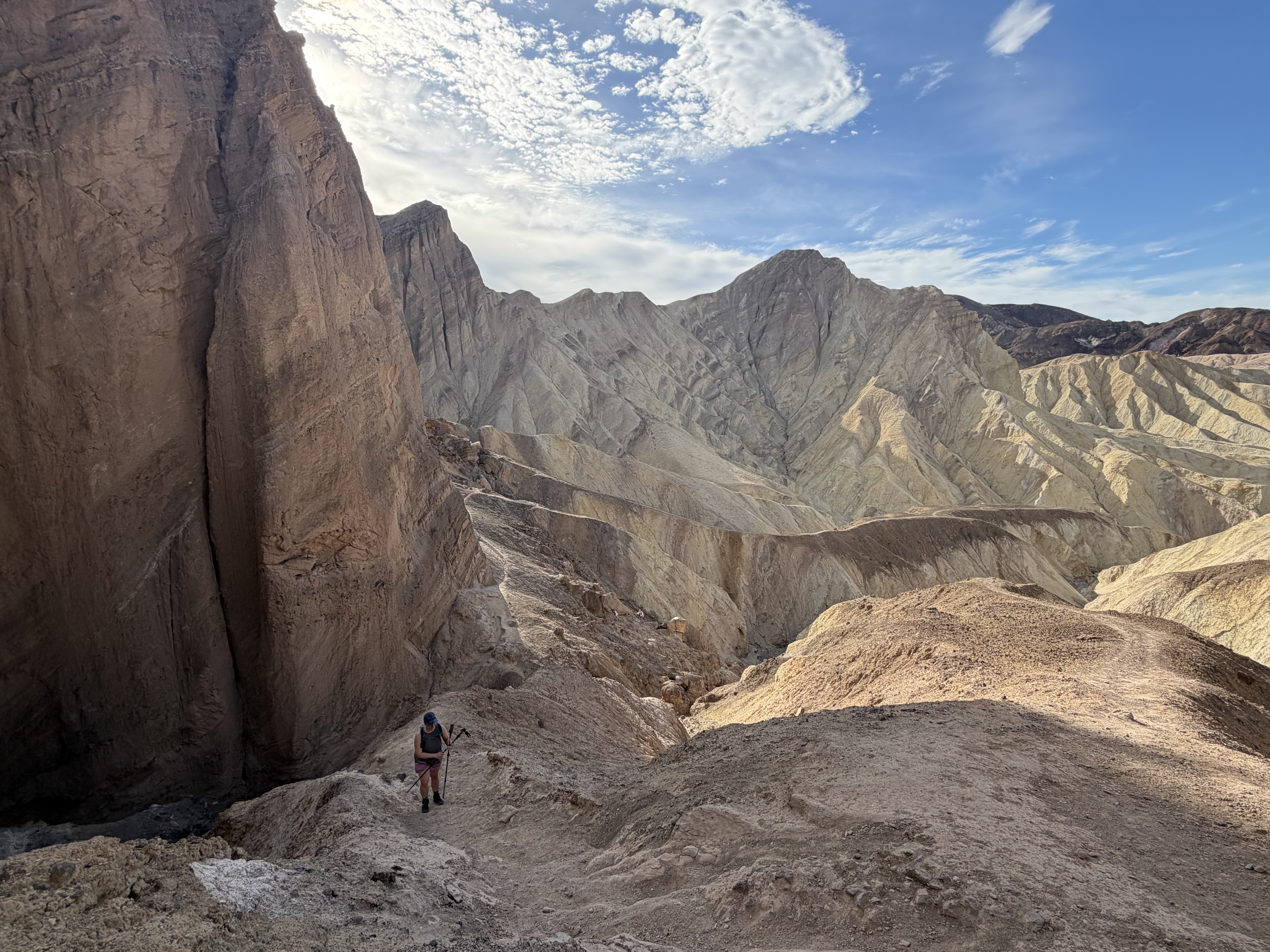
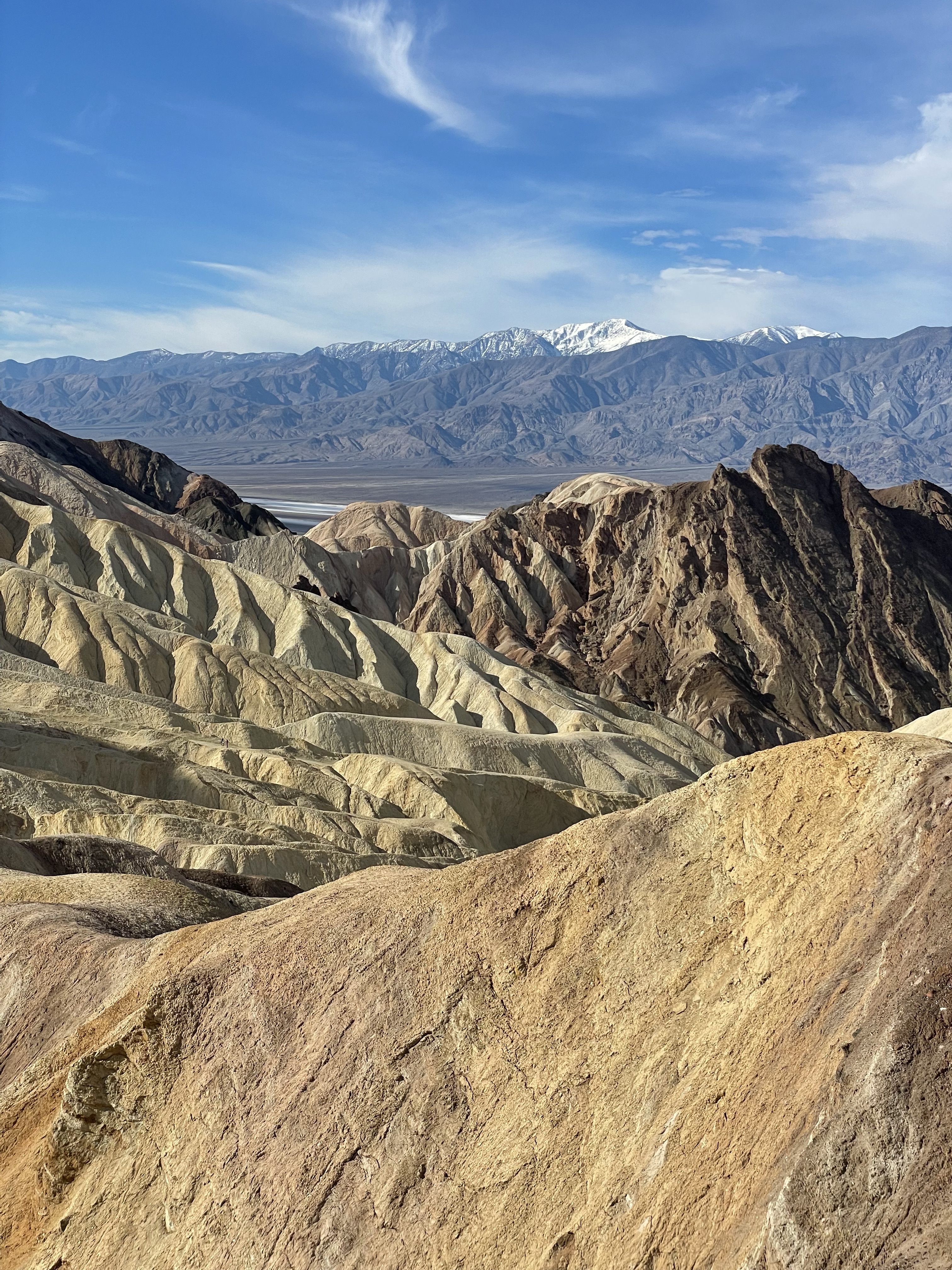
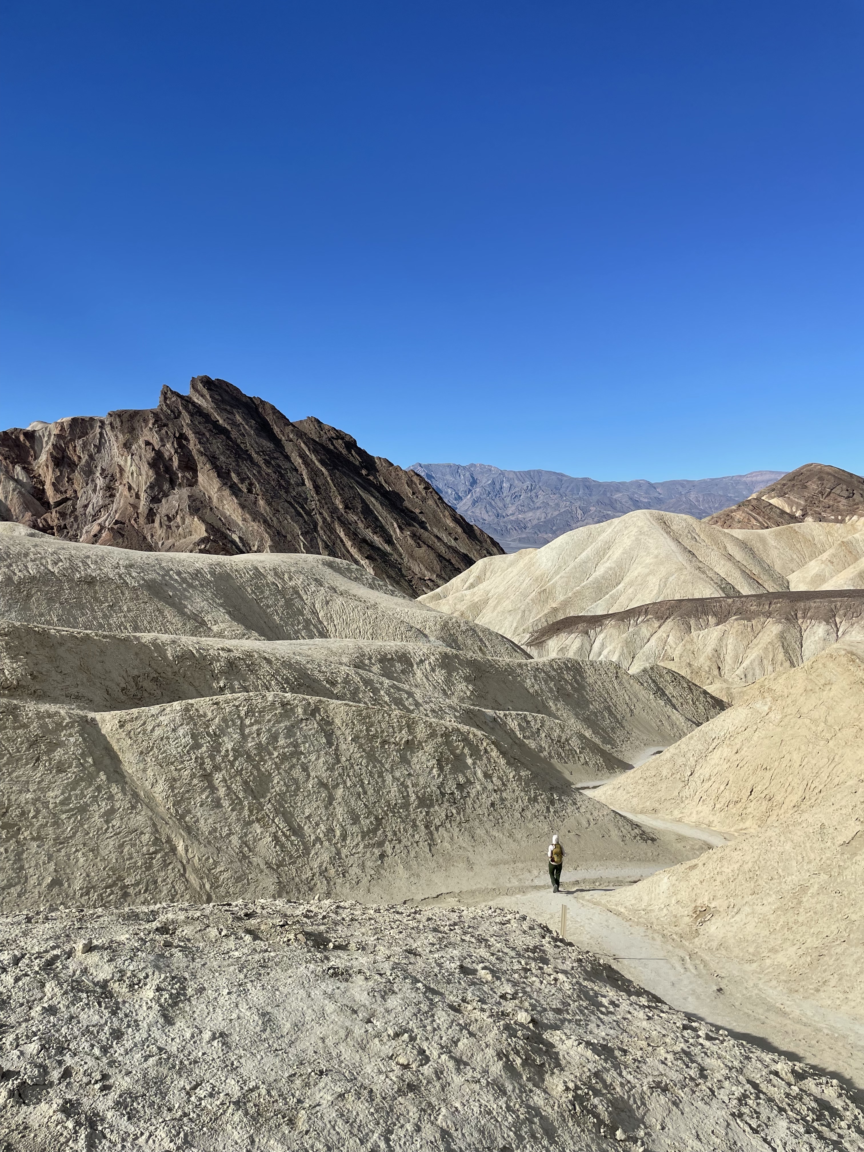
The midpoint of our hike brought us to a very popular viewing spot, Zabriskie Point. This viewpoint is accessible from the main park road, so we encountered many other park visitors here, and had the benefit of using toilets and having a snack here.
NOTE: If you visit wildflowers like this, please remember to leave no trace – do not pick them, and avoid walking through them or creating trails. Small mistakes by hundreds of people could mean flowers never bloom in that spot again.
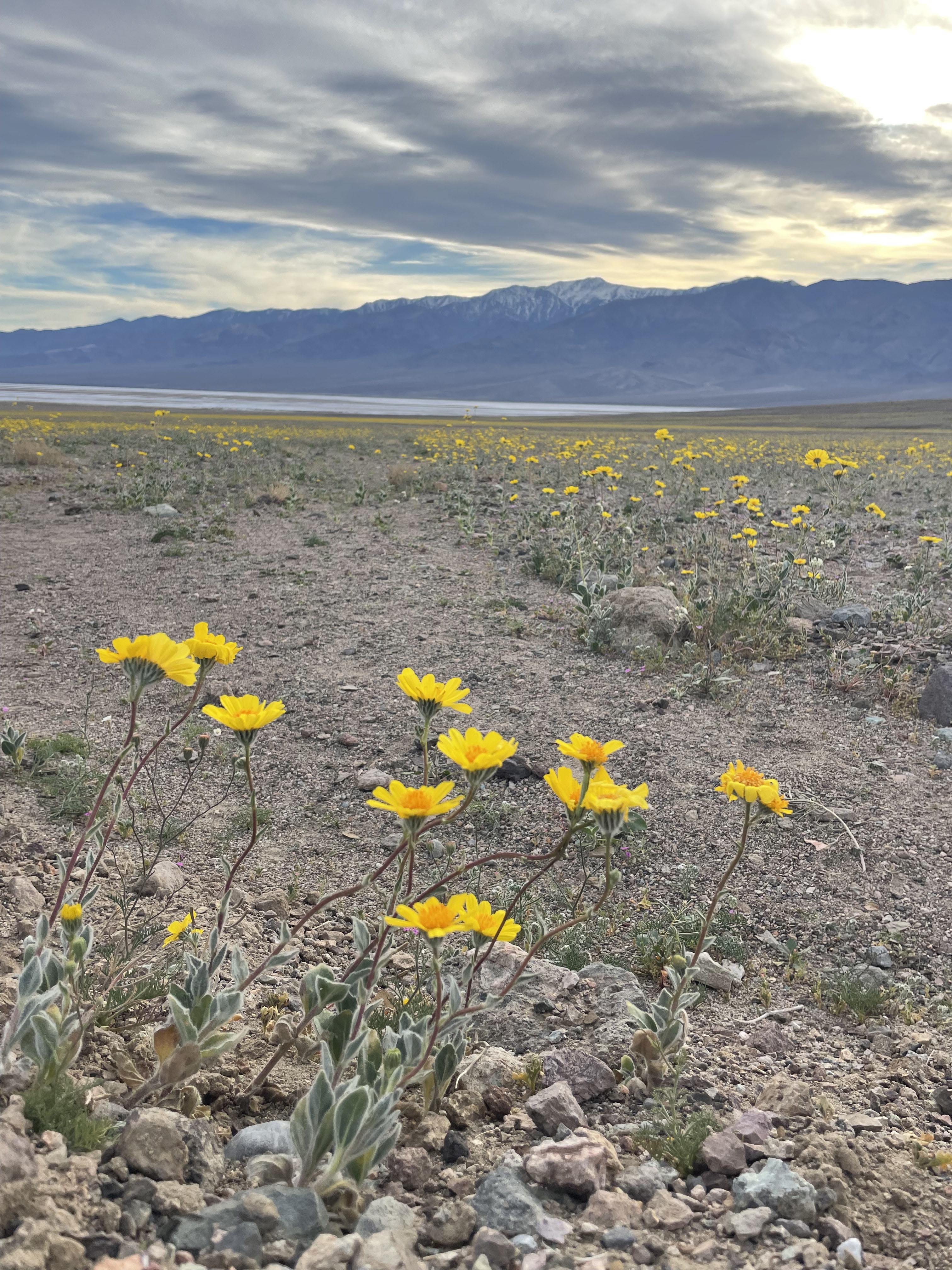
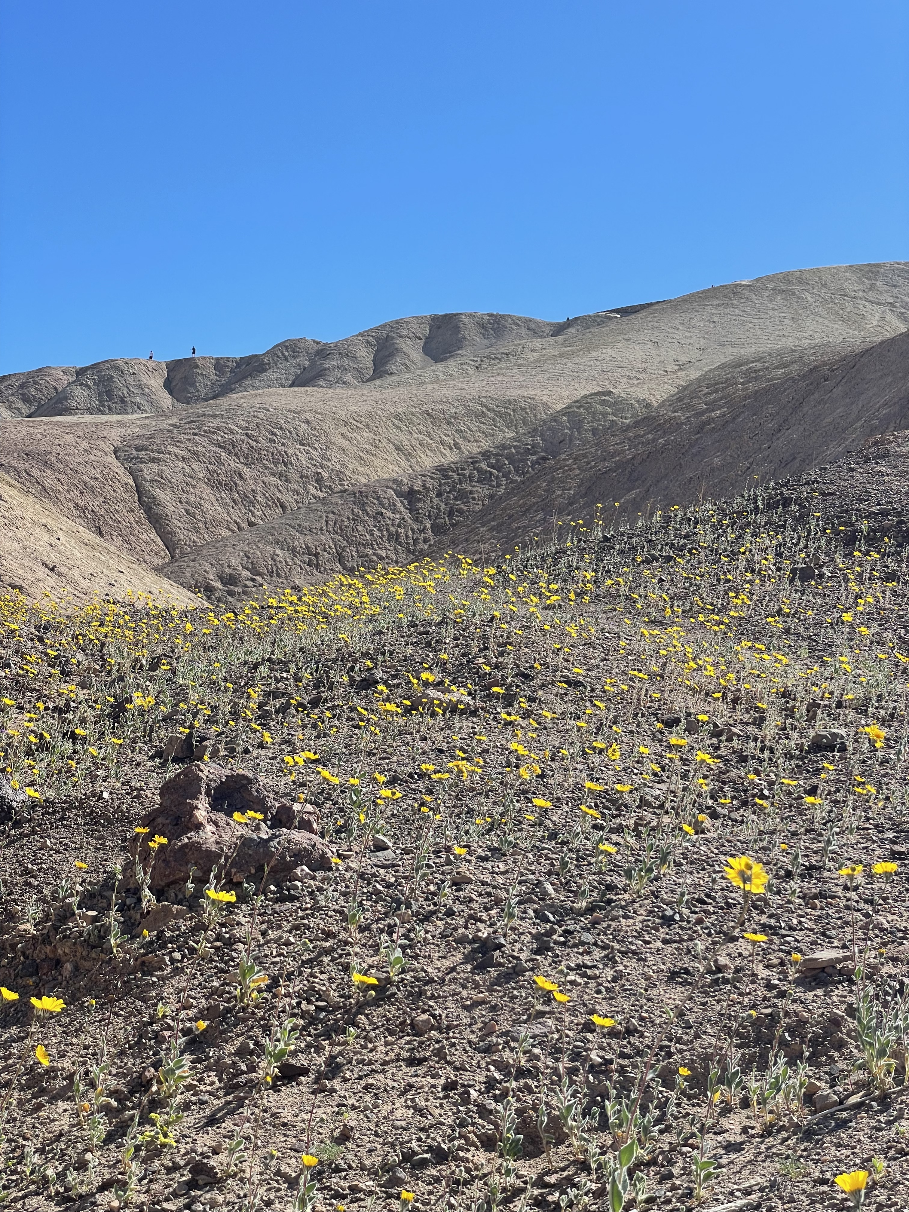
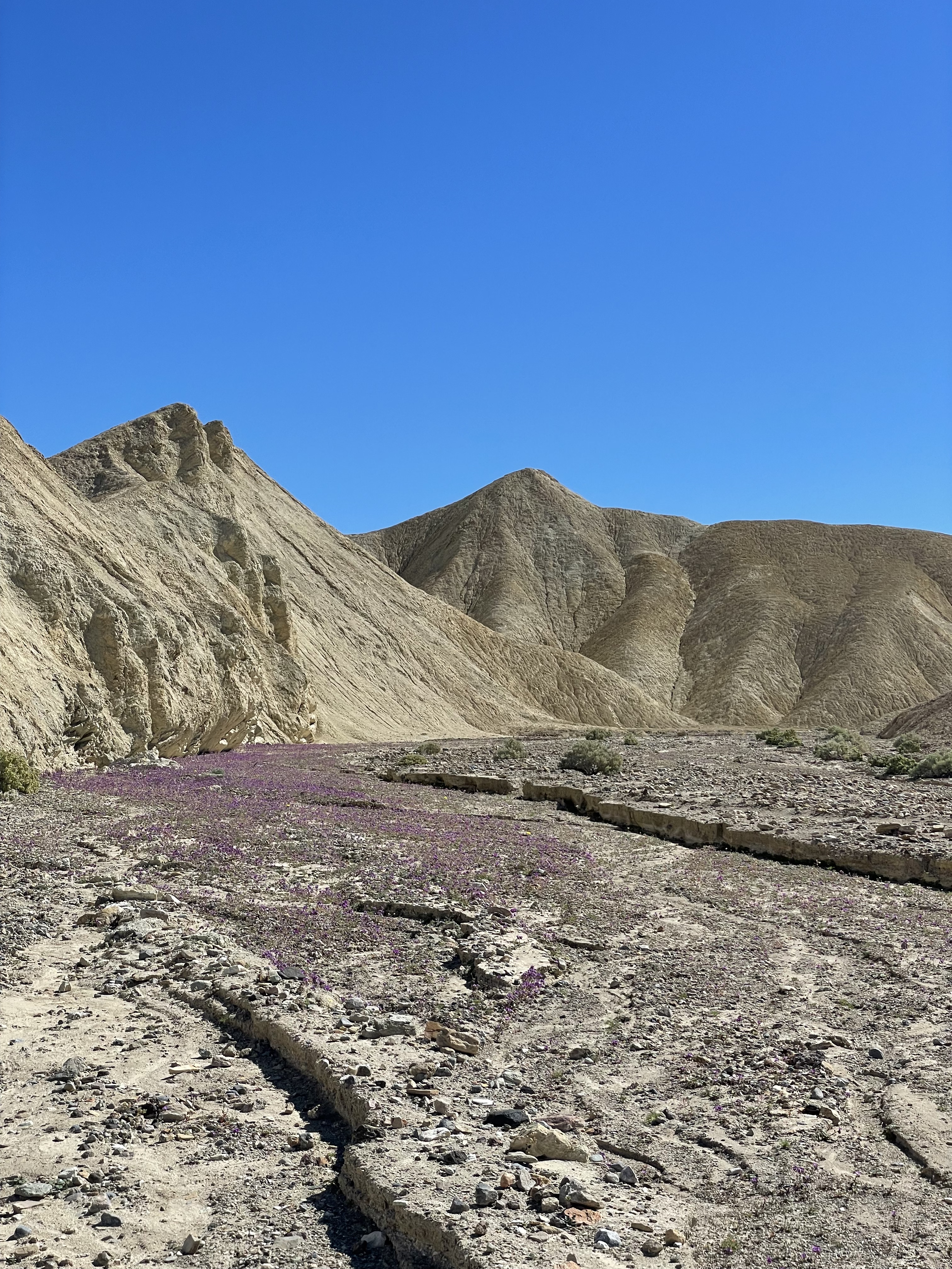
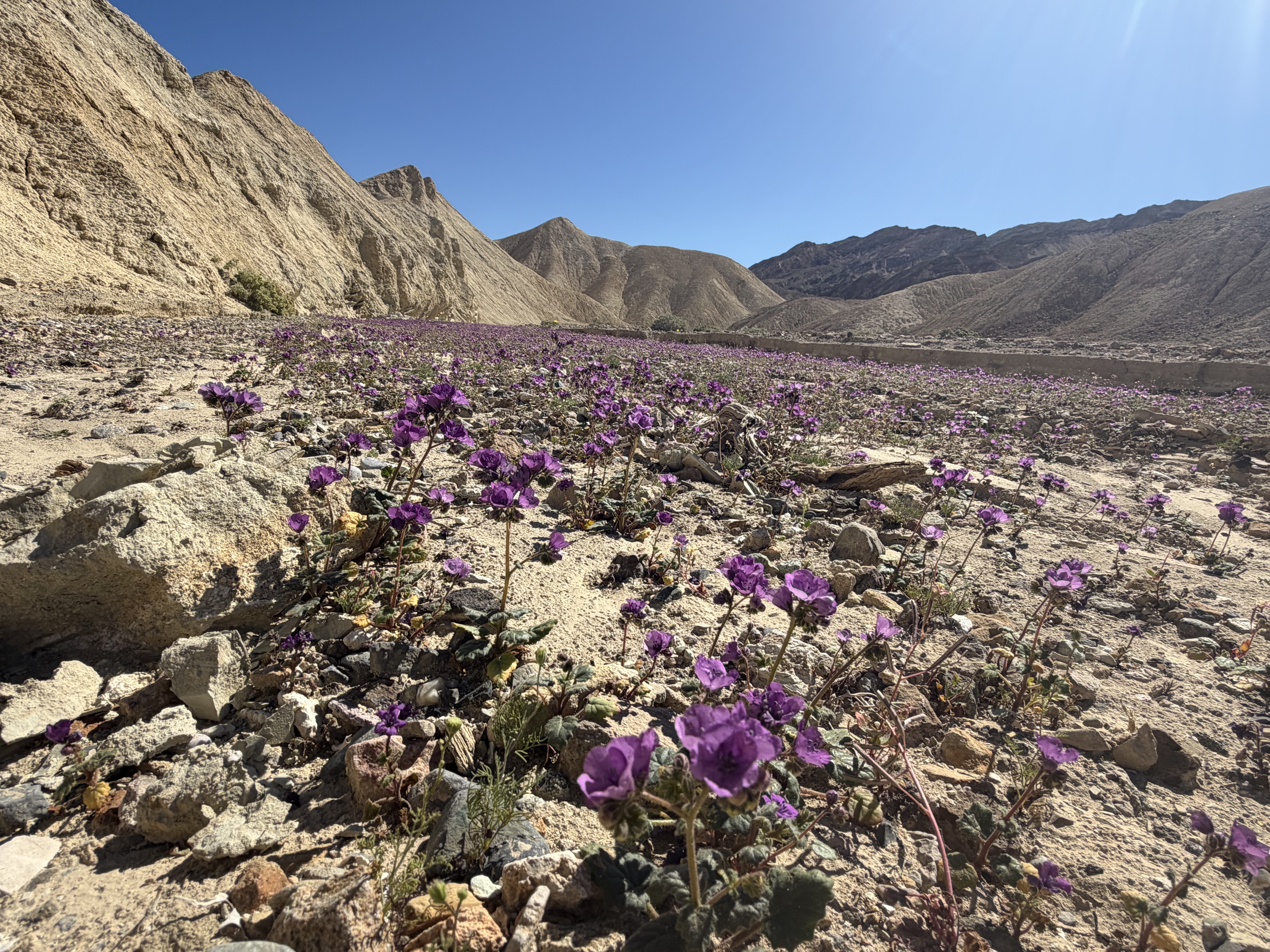
We continued on, back down into the valley via a wide, dried out wash, which happened to be filled with wildflowers thanks to the superbloom. The sun was higher in the sky by this time, so we took solace in shady edges of canyons. It was beautiful.
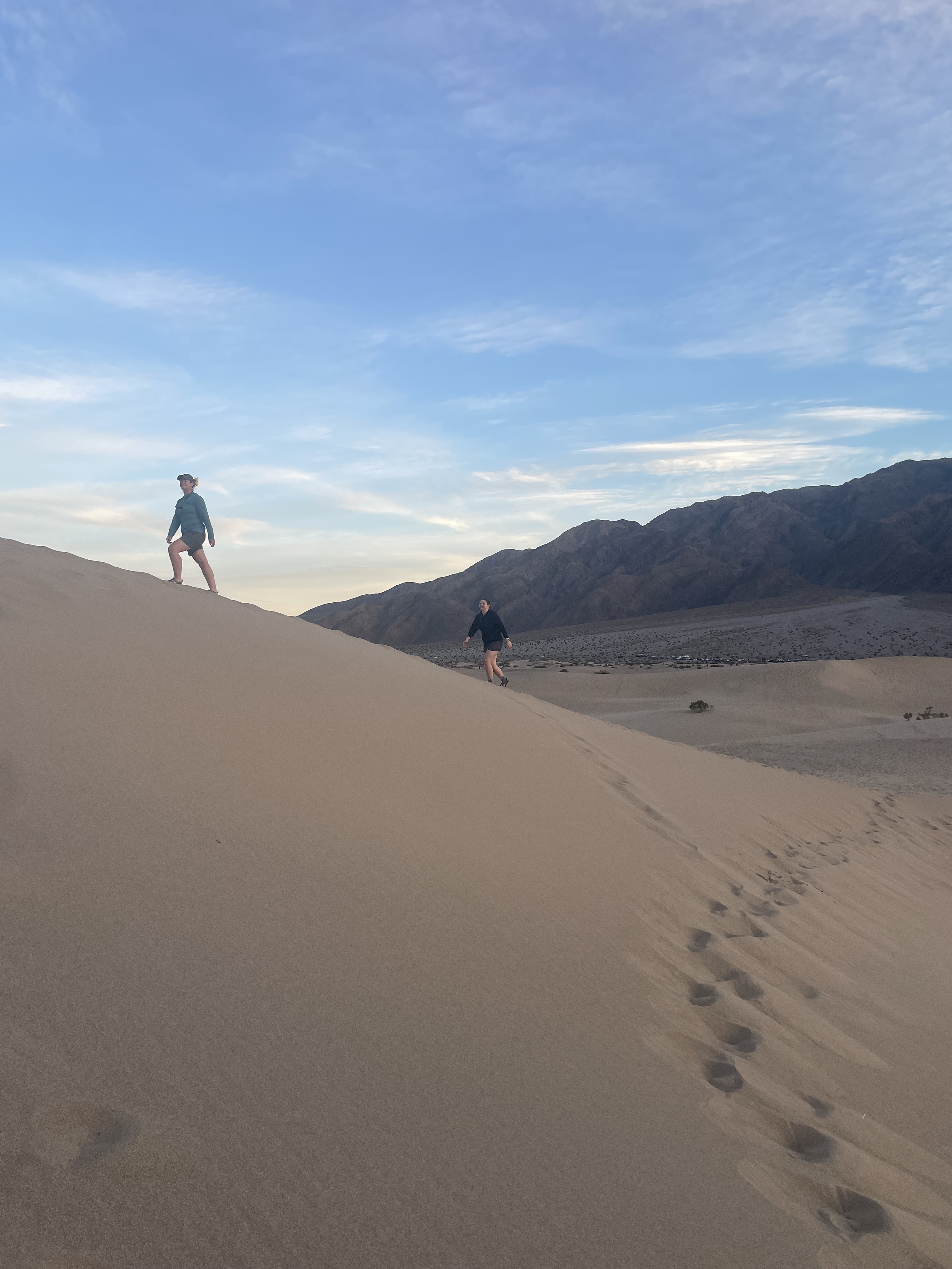
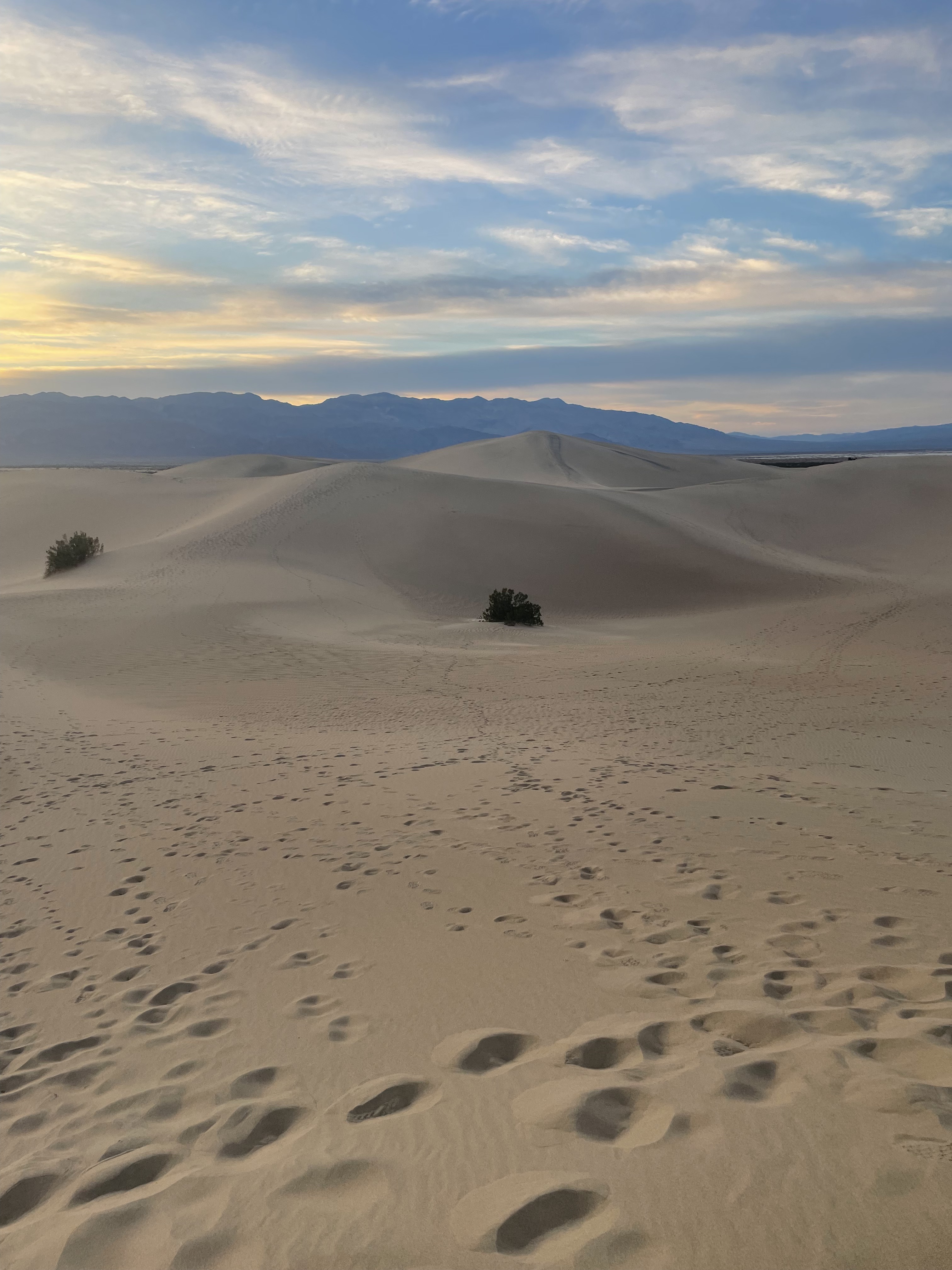
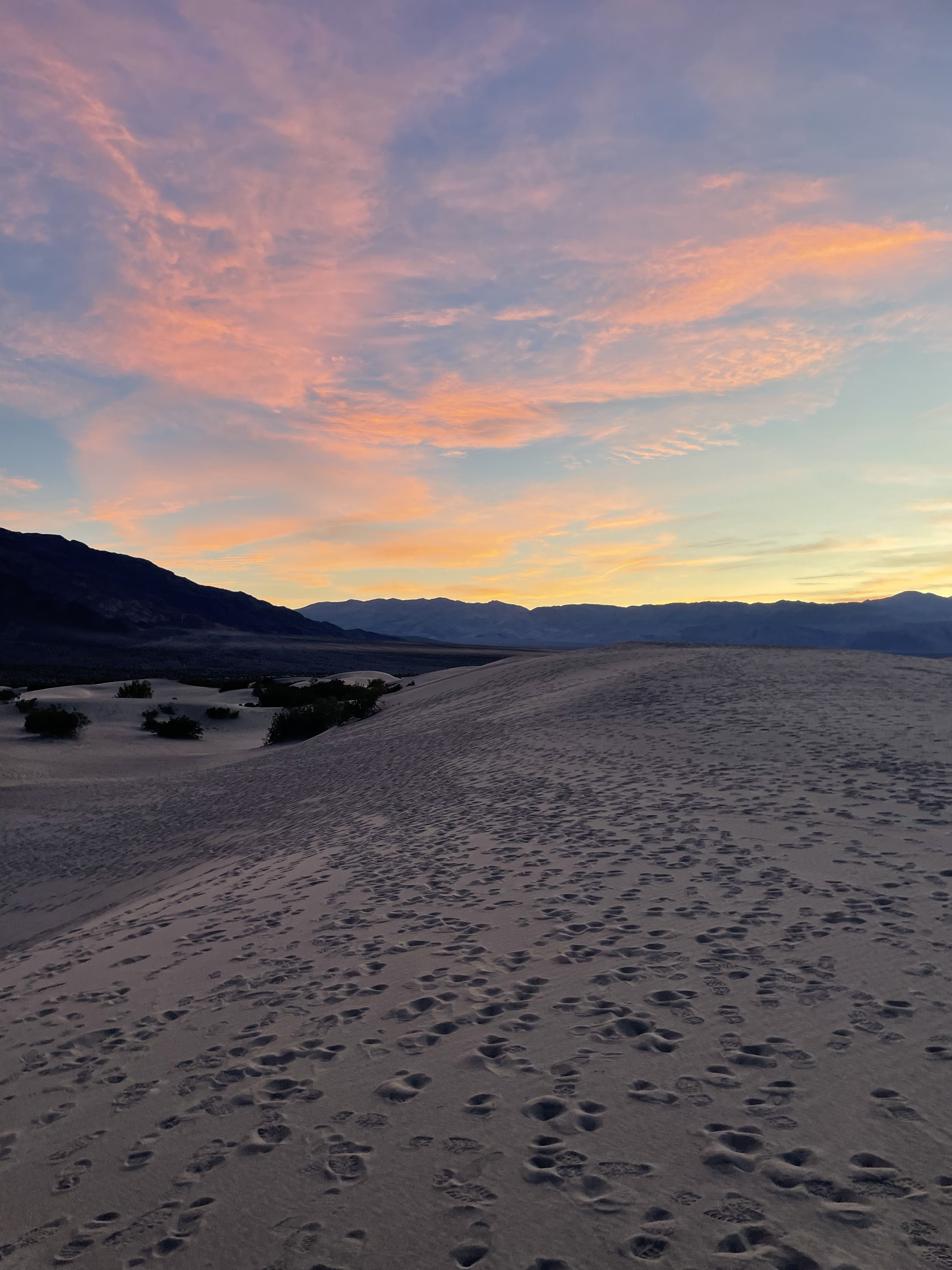
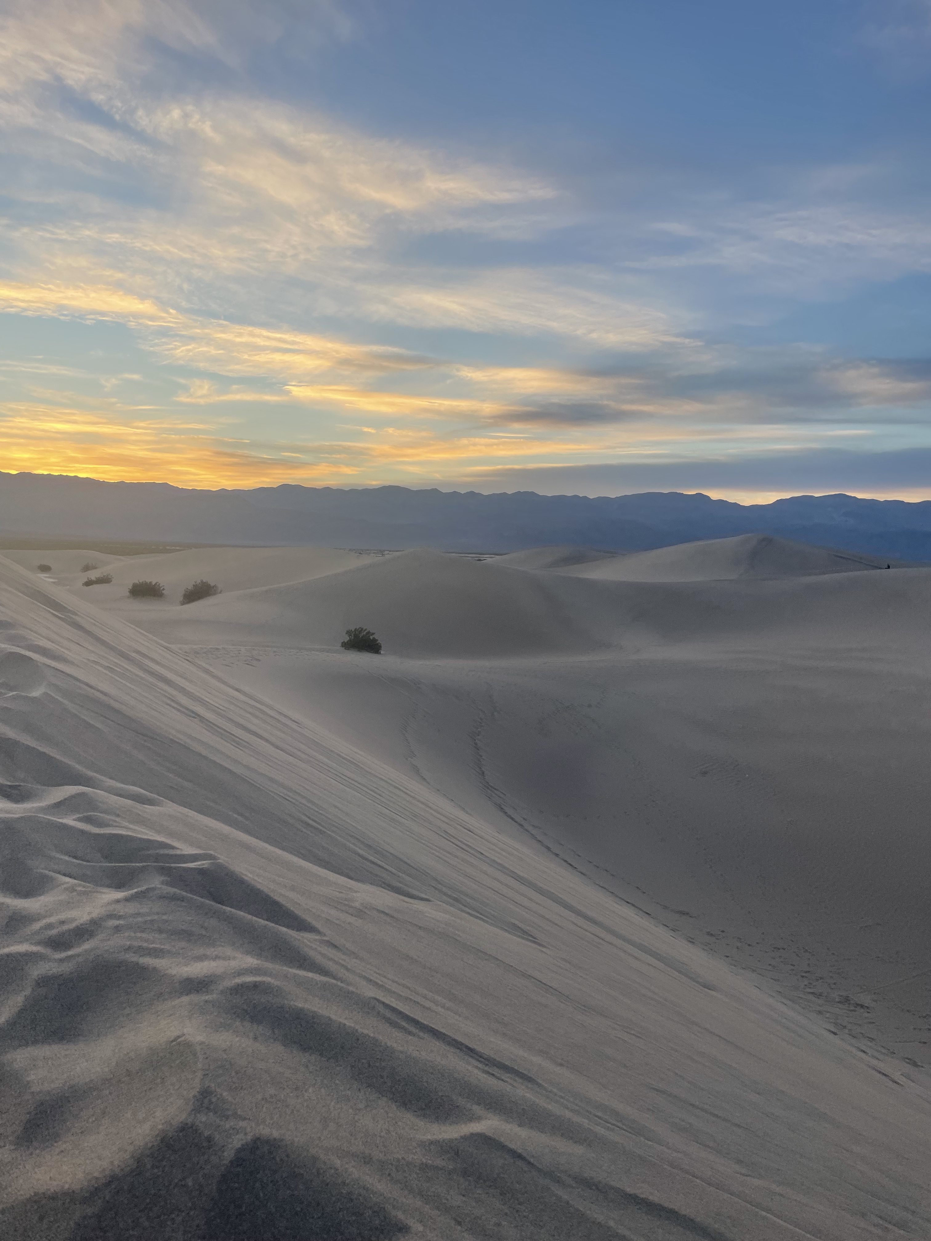
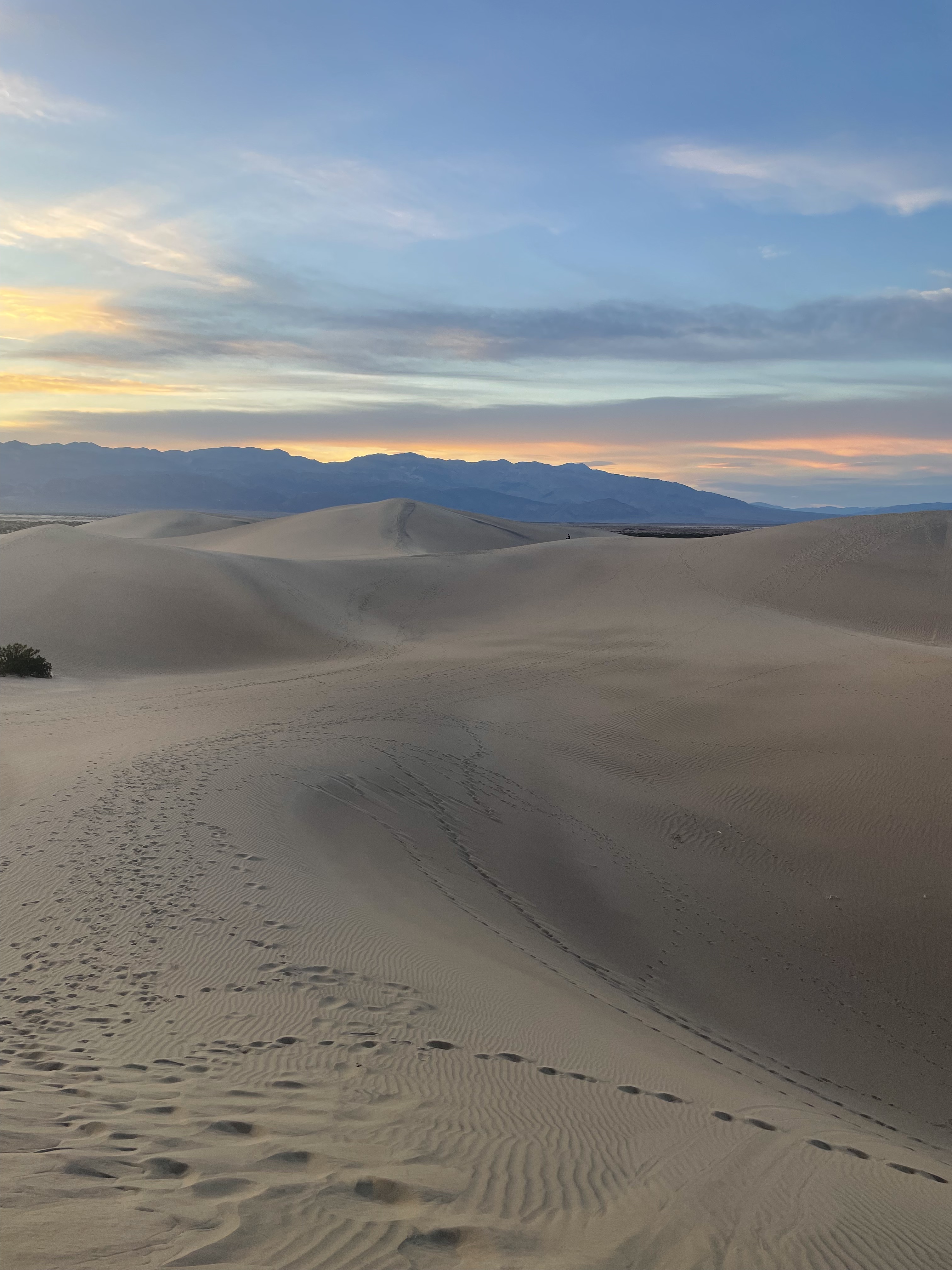
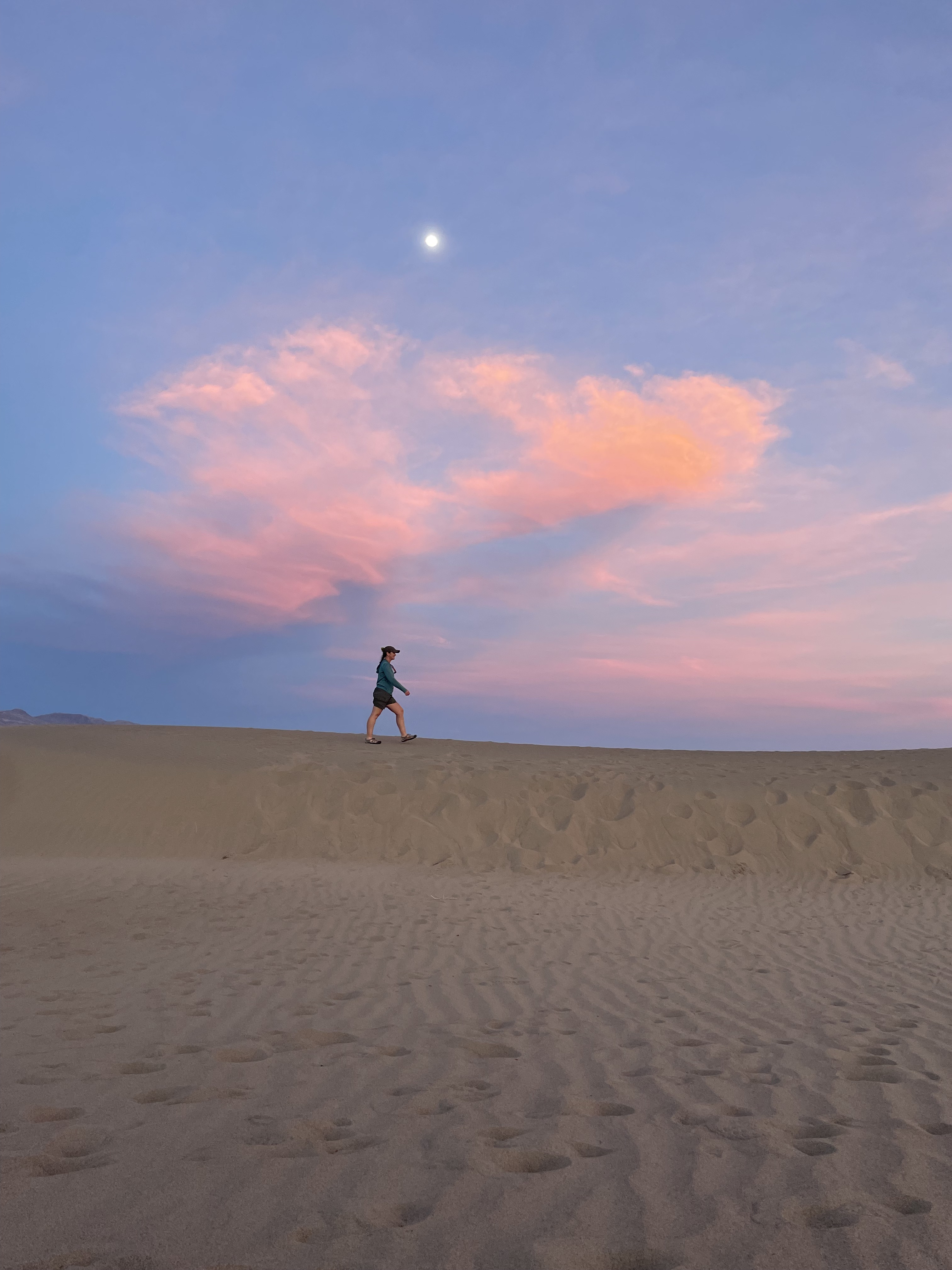
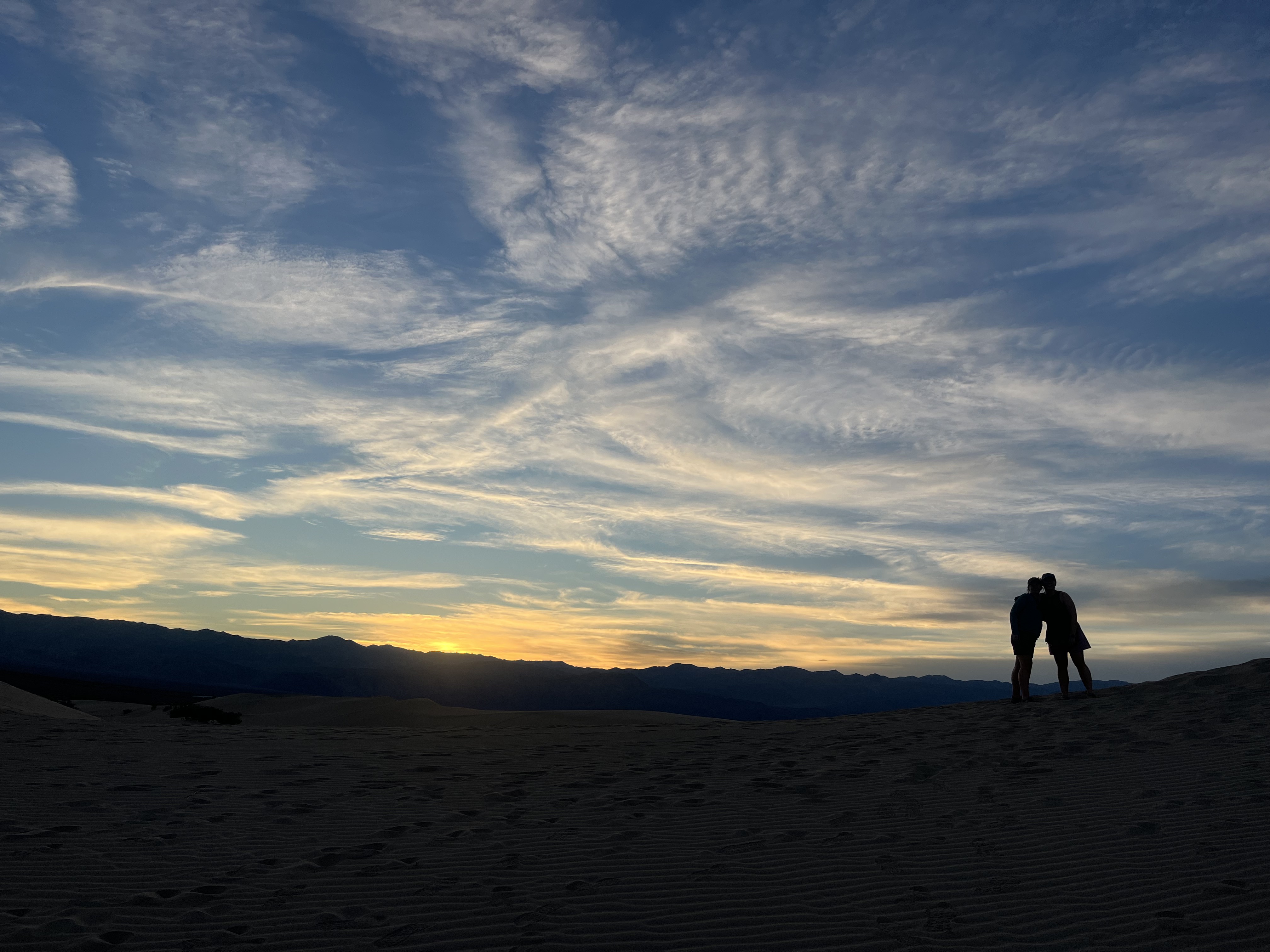
Mesquite Flat Sand Dunes
When we finished hiking Golden Canyon, we took a break in the air conditioning of the Furnace Creek Visitor Center, ate lunch at camp, and then took our time driving through the park to a place that’s been on my bucket list for a very long time.
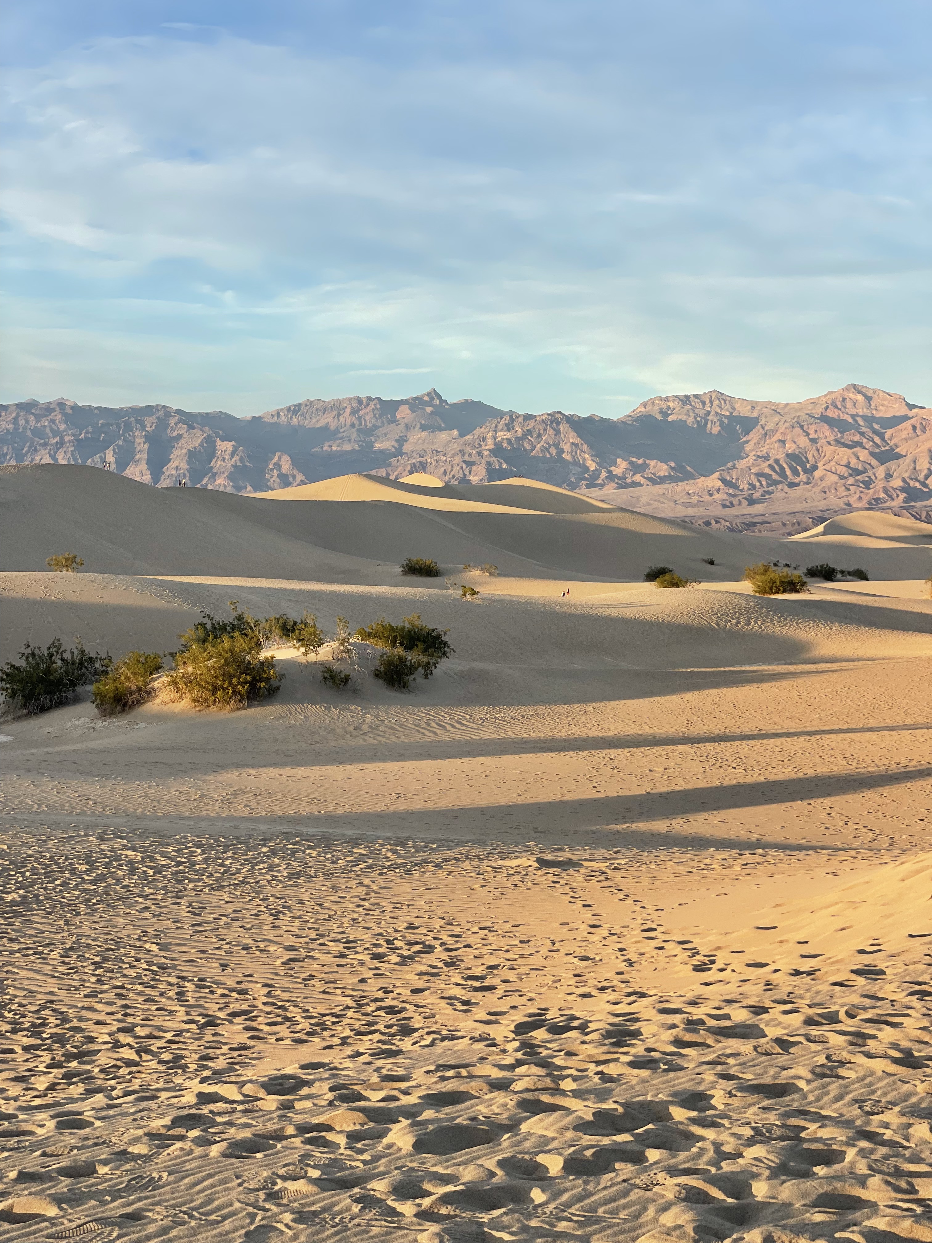
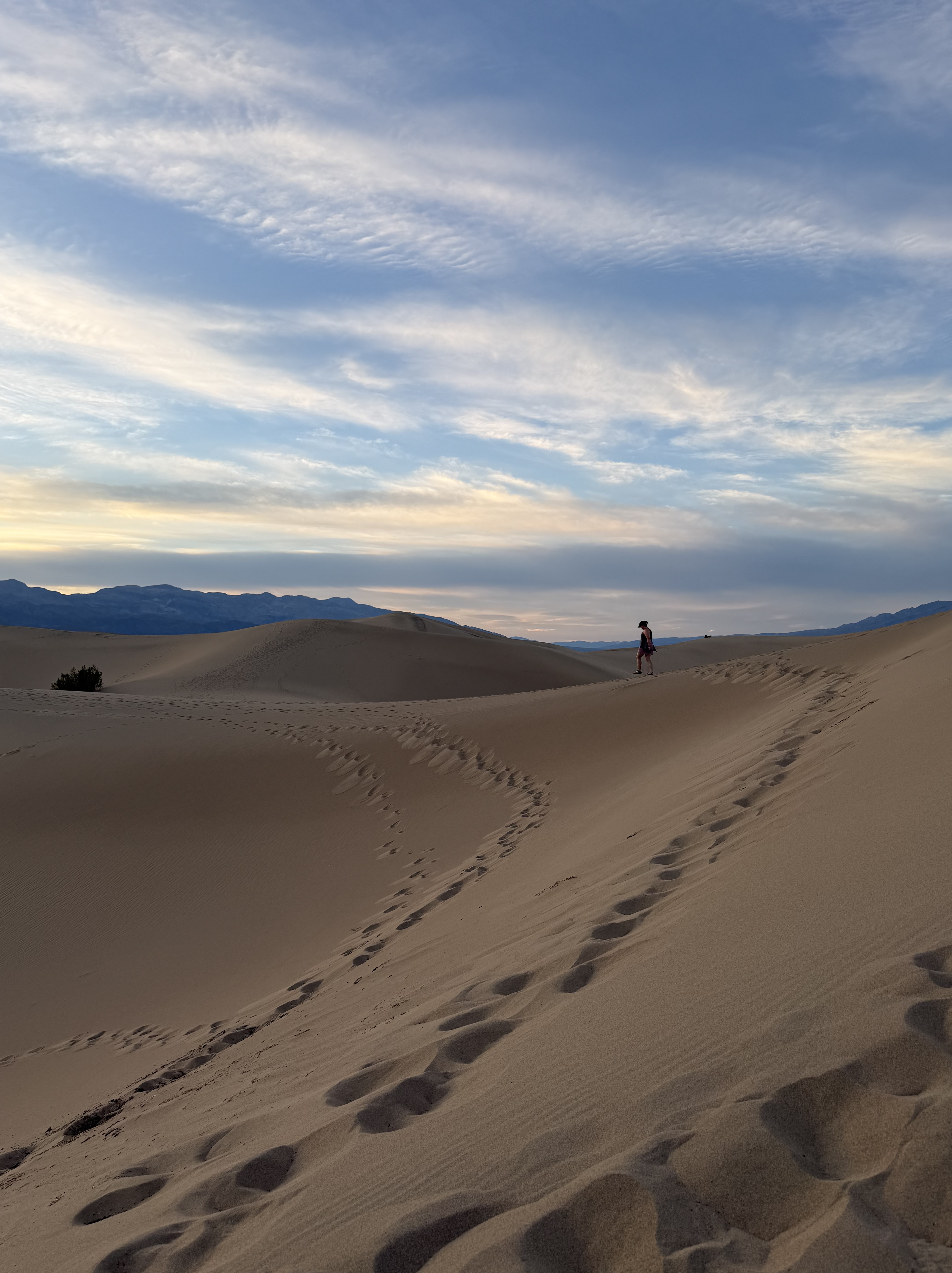
The Mesquite Flat Sand Dunes: where sand that comes from the rocky canyons eroding all around is gathered by fierce winds and held in one spot by the configuration of the surrounding mountains. That gathered sand has piled up over time, forming tall, beautiful dunes that park visitors get to explore.
The farther you walk from the parking lot, the bigger the dunes get, and the views are magnificent, especially if you catch sunset like we did. The magic was doubled by the full moon rising above us at the same time.
Day 3: Volcanic Craters, Marbled Canyons, and Moonrise at Camp
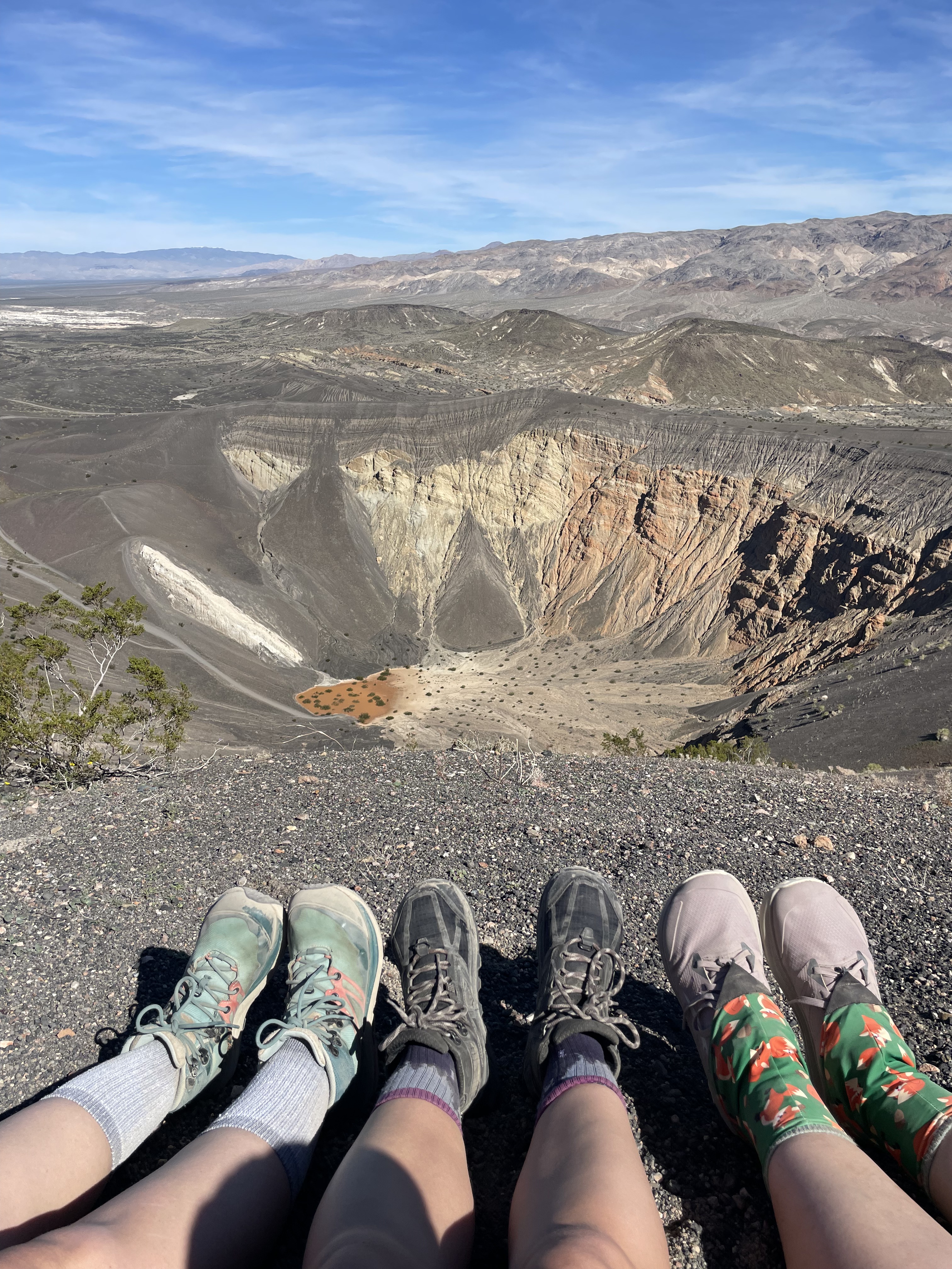
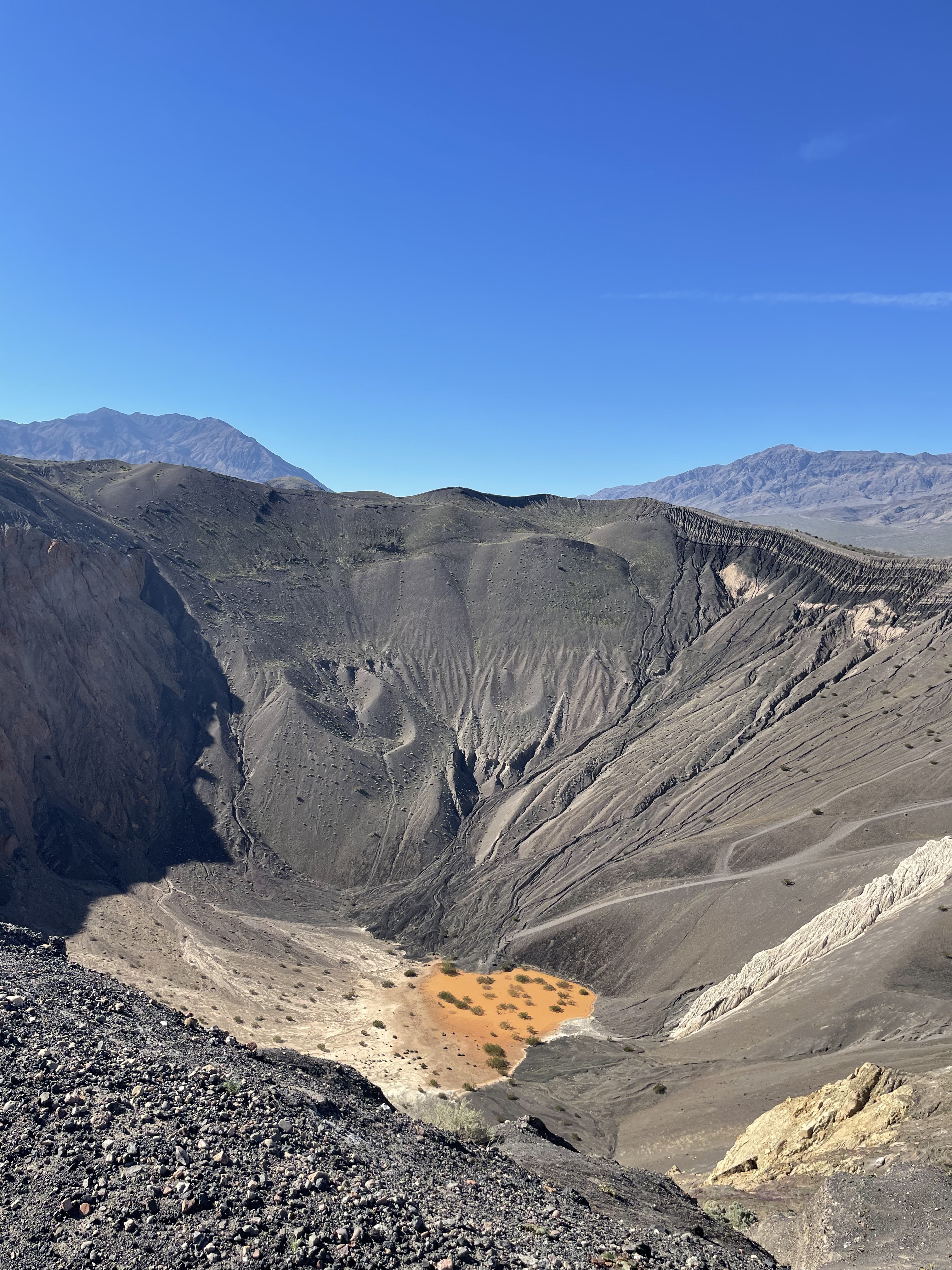
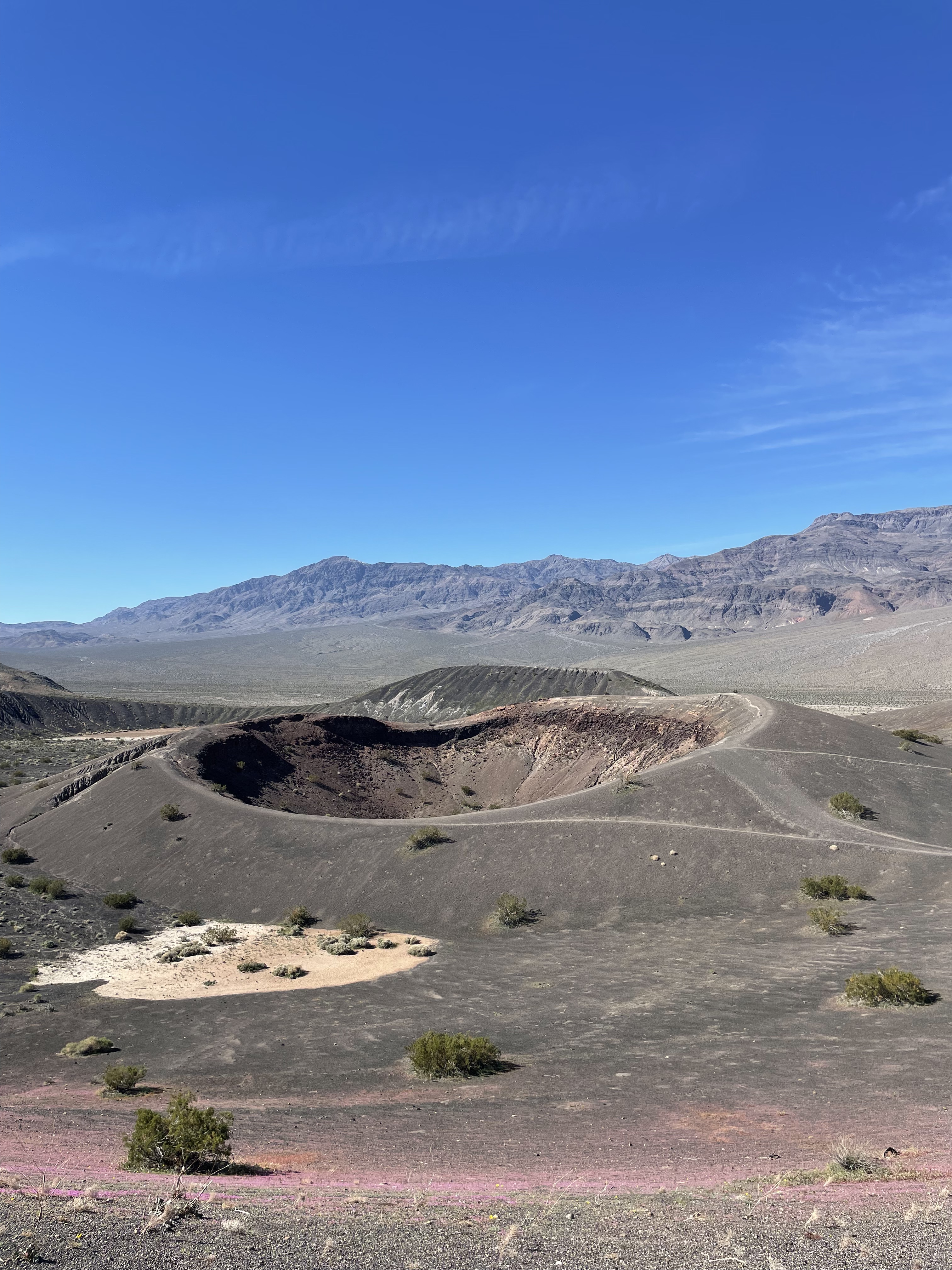
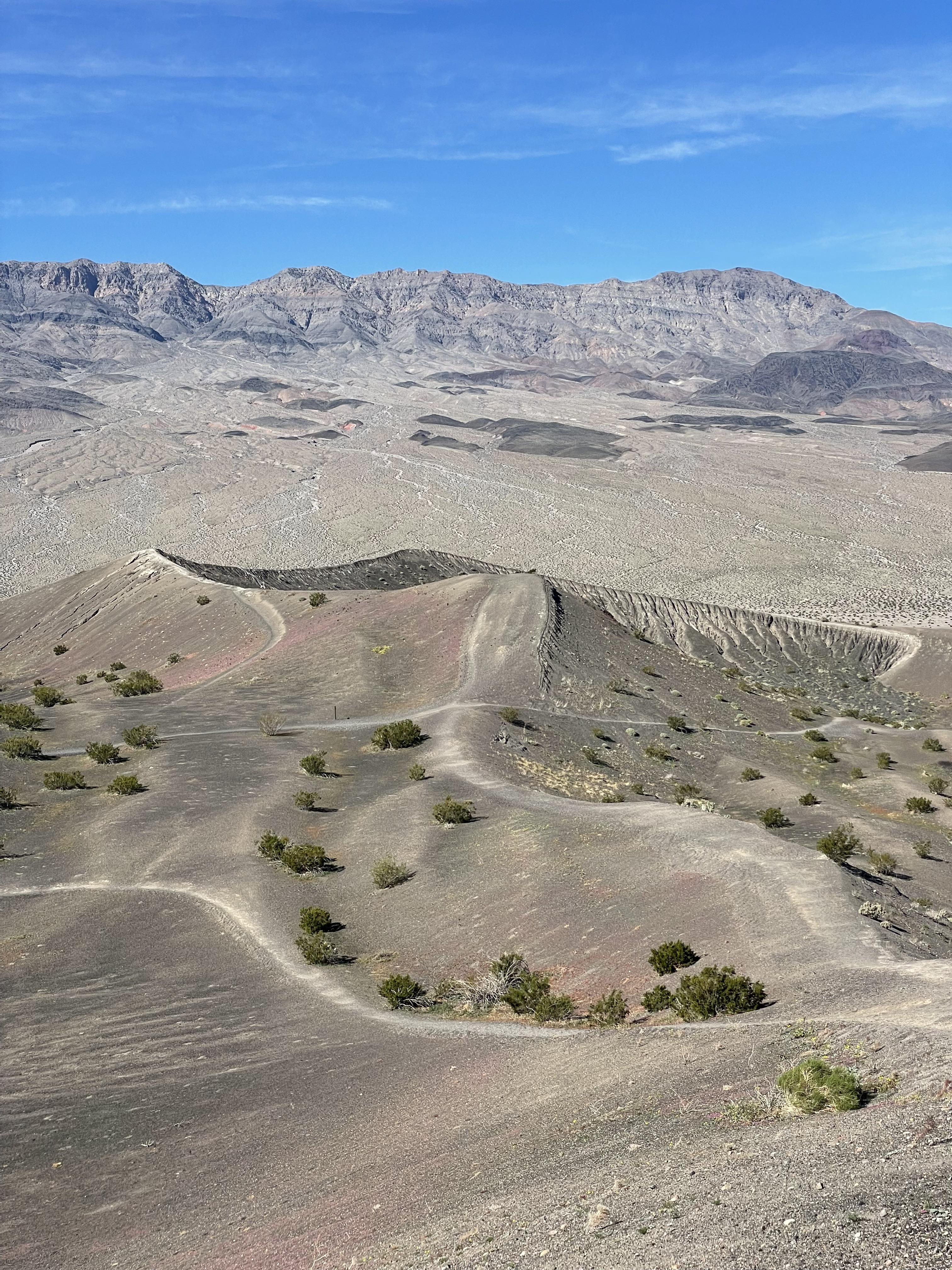
Ubehebe Craters
We woke up early again on Sunday and drove from Furnace Creek Campground all the way to a field of volcanic craters – about an hour away.
This place amazed me, especially when I learned that the steam explosion that formed the craters occurred only 5,000 years ago, which is not very long in geological time!
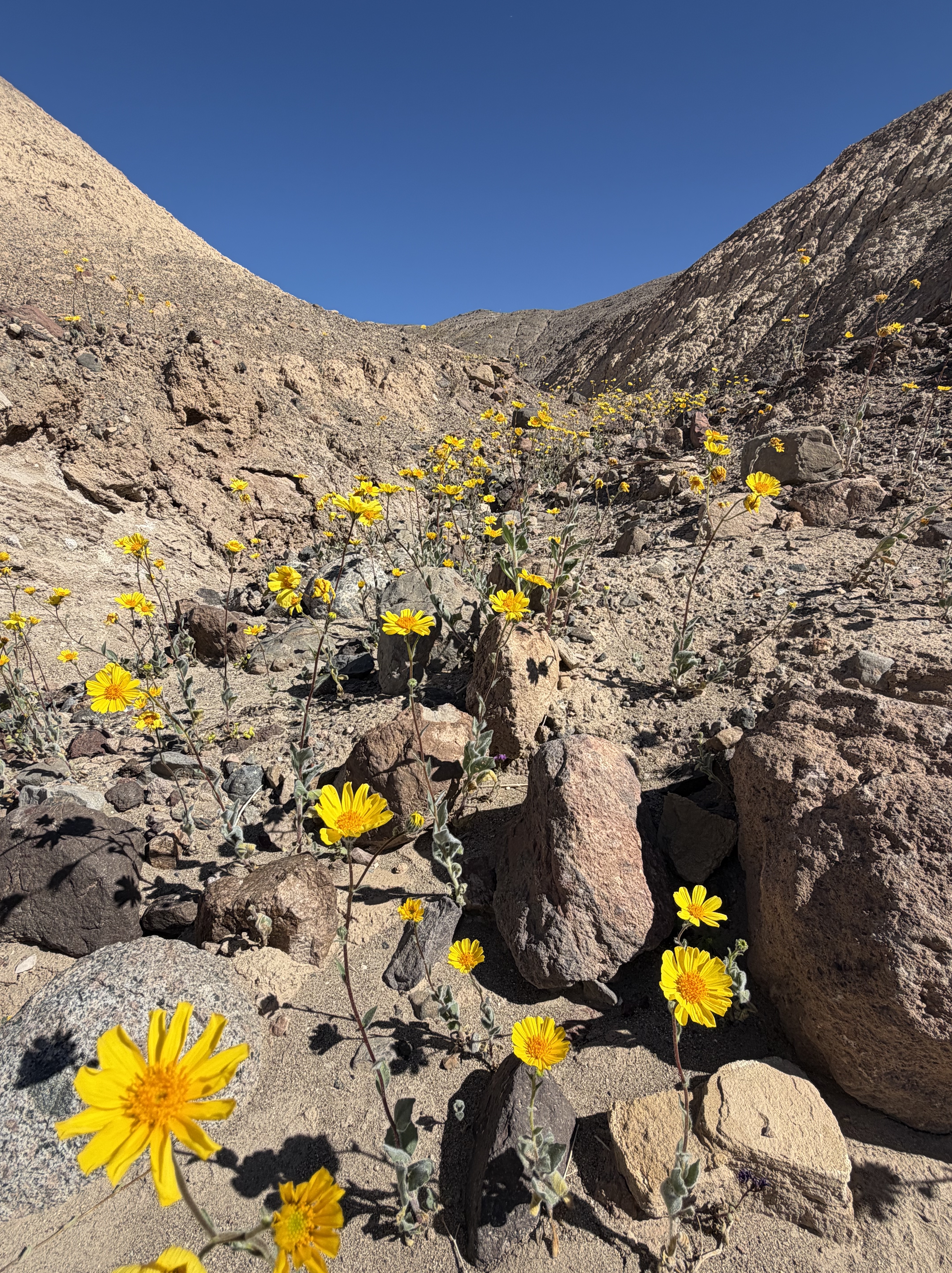
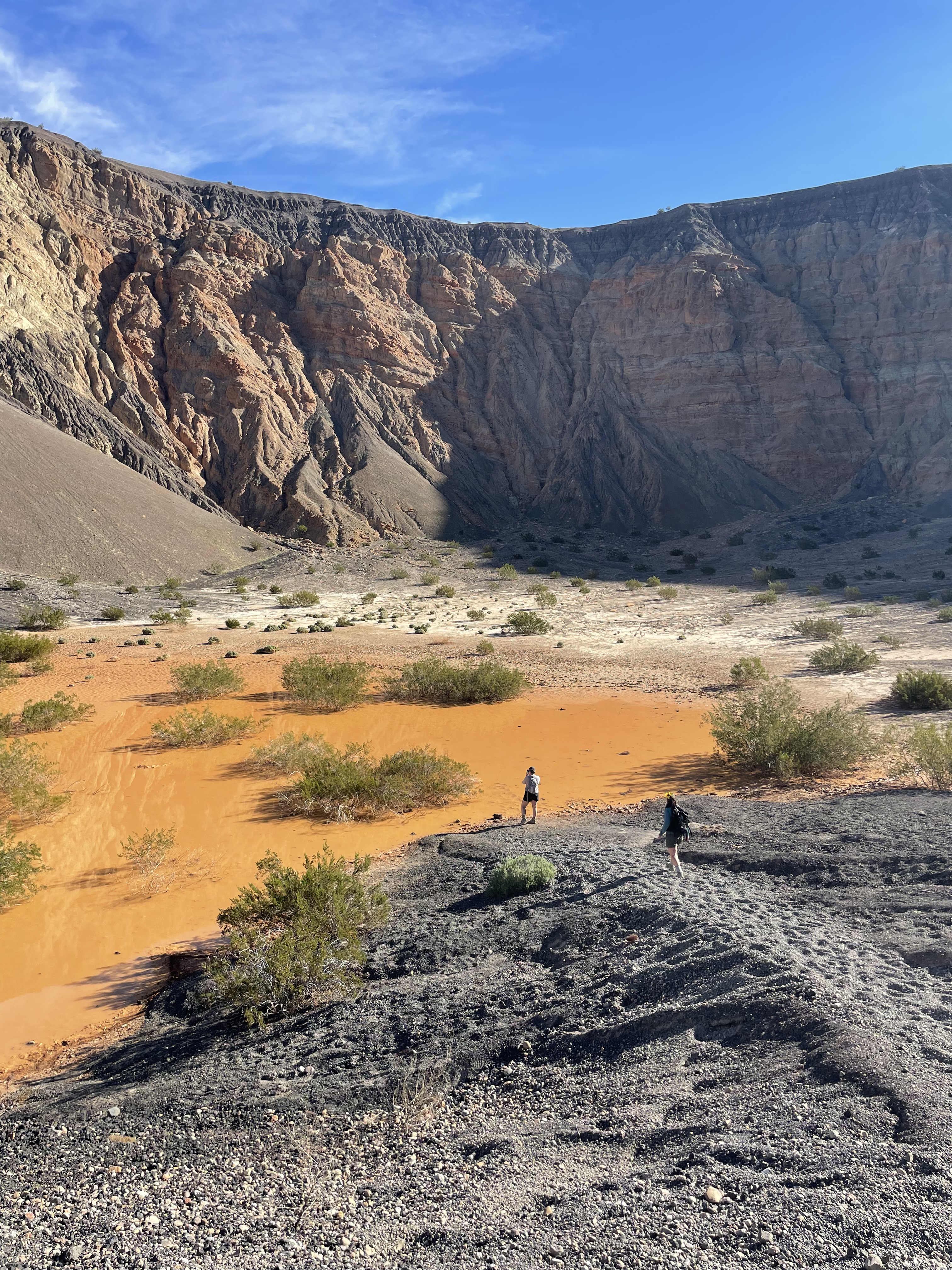
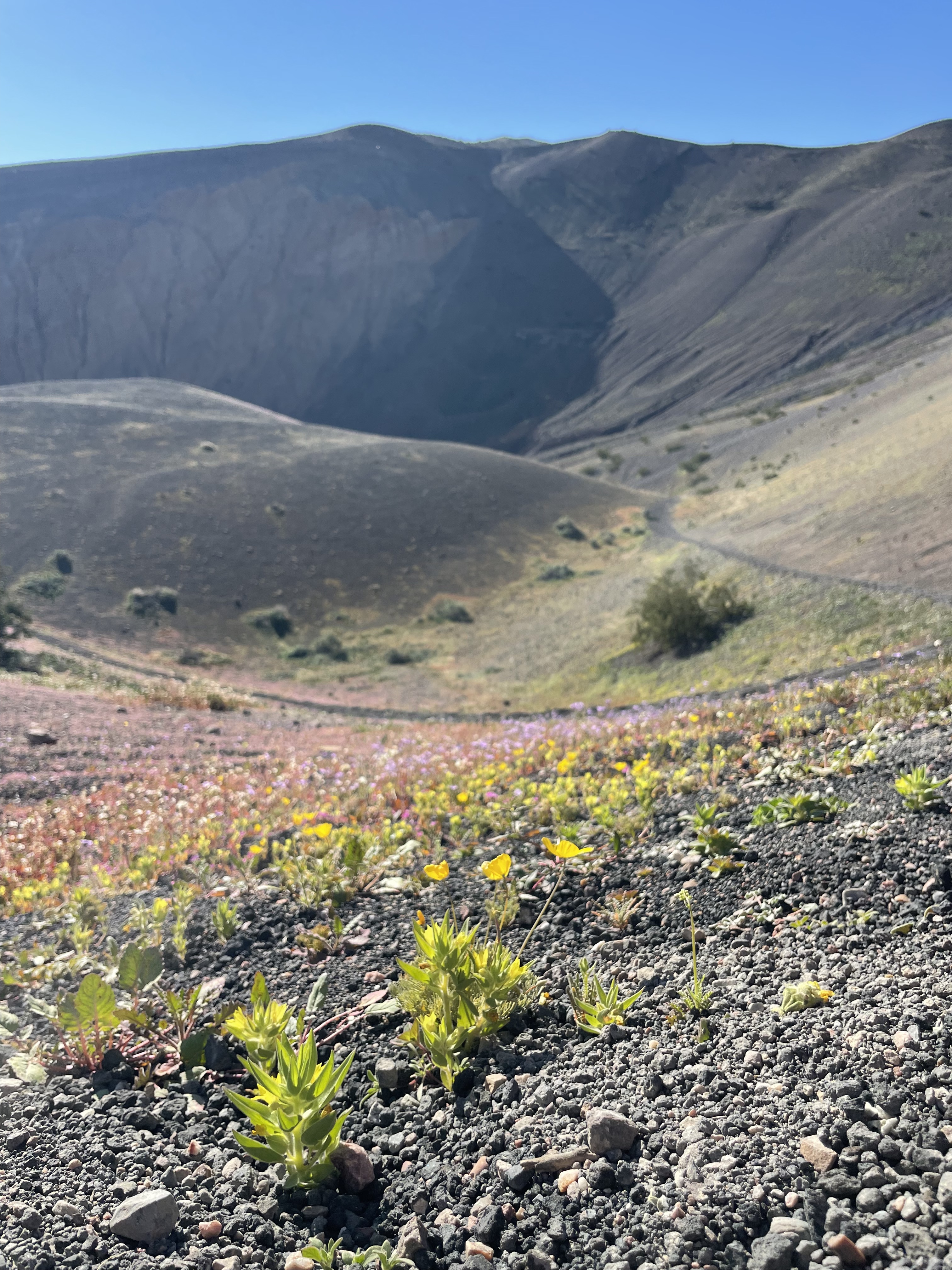
We hiked down into the largest crater, the site where rising magma came into contact with groundwater, exploding the rock all around it. At the bottom, we enjoyed views of a temporary clay-filled pond. Surprisingly, the superbloom of wildflowers touched even these volcanic soils.
Then, we hiked around the rim of the crater, providing views of the other smaller craters (like “Little Hebe”), and plenty more wildflowers.
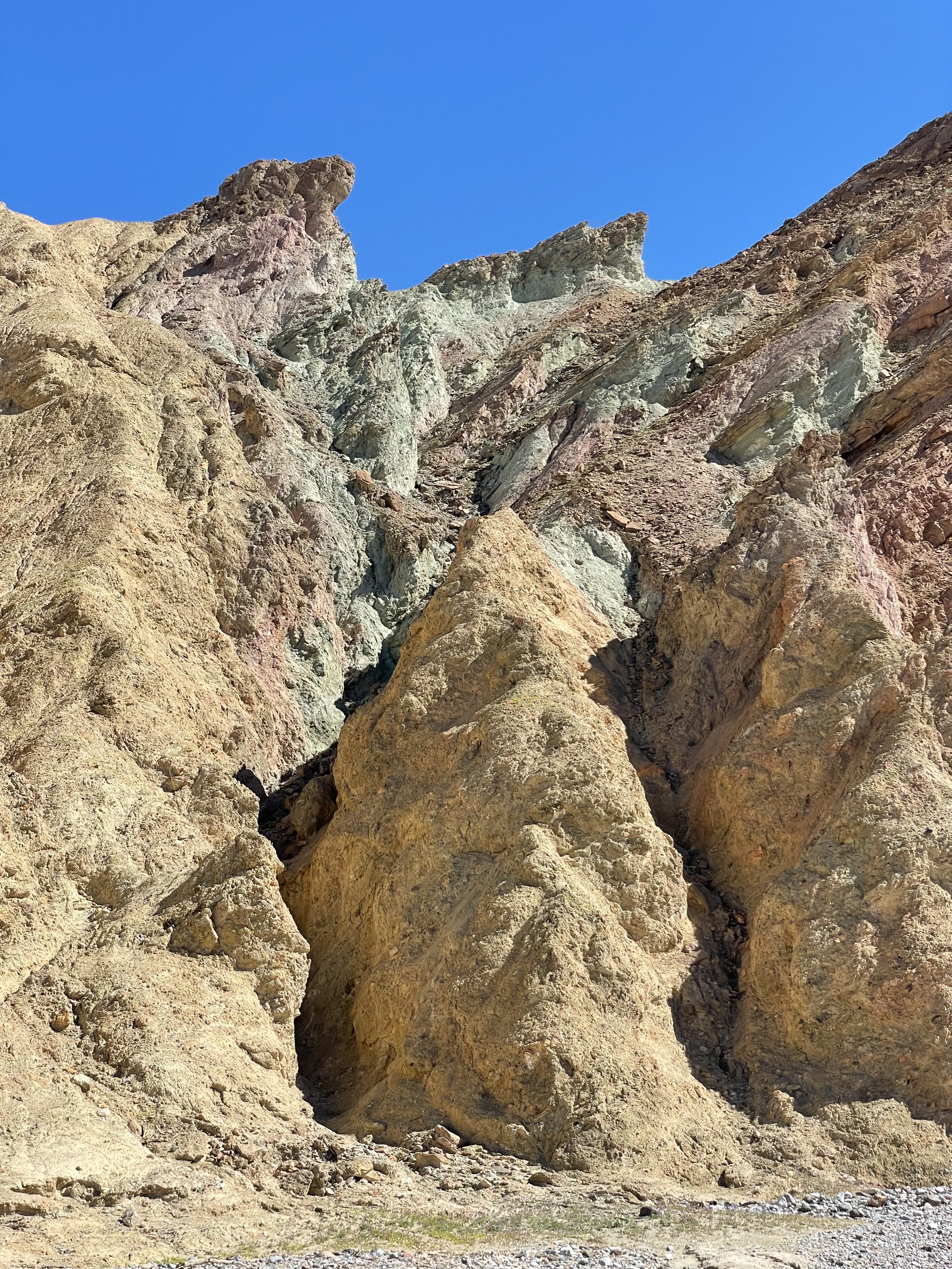
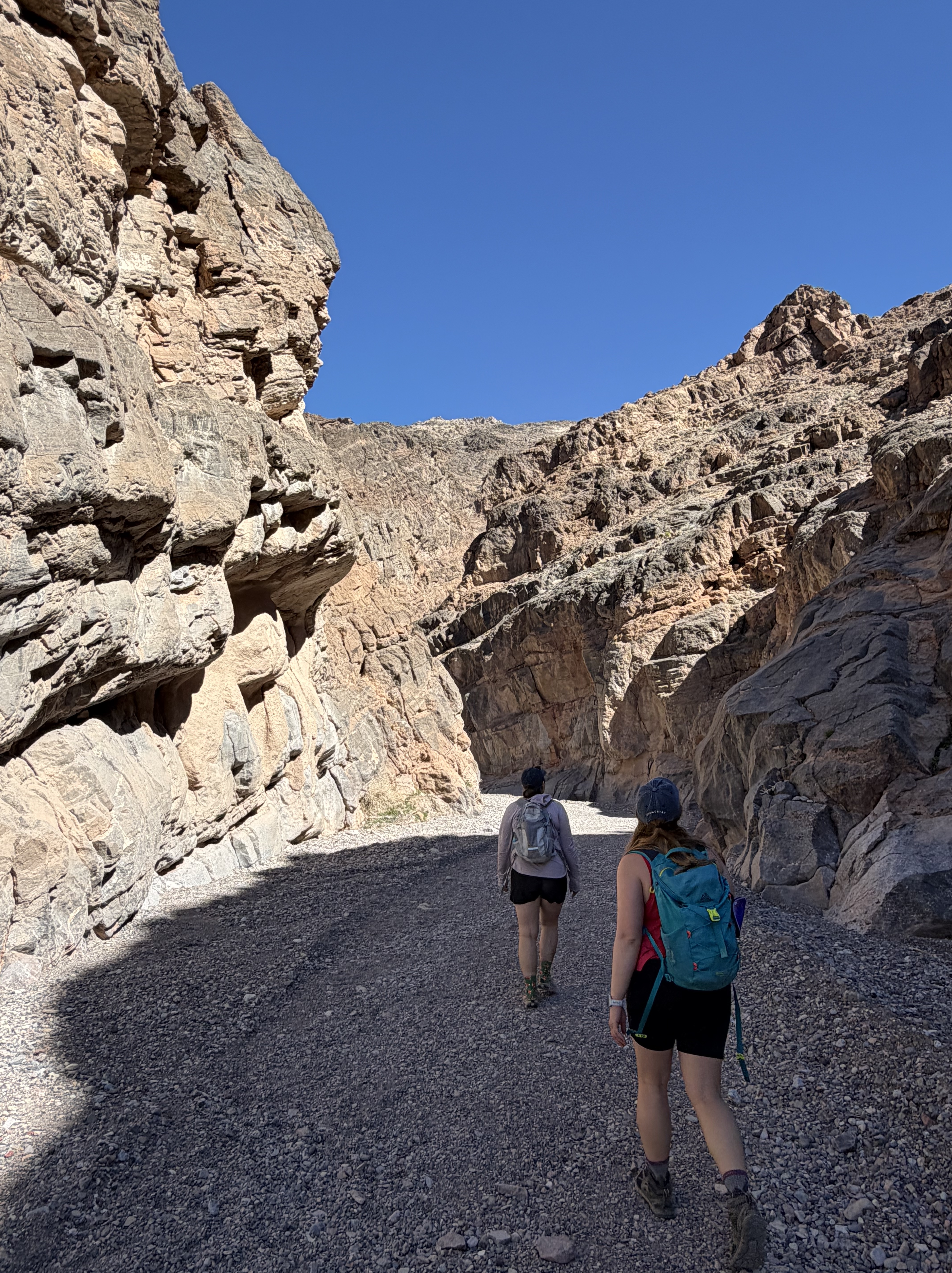
Hiking Titus Canyon
On our way back from Ubehebe Craters, we decided to check out Titus Canyon, which is normally a popular 4WD road, but is currently closed to cars due to flooding and wash-outs from rain a few years ago.
If you’re willing to brave the unpaved road to the canyon entrance, you can still hike it, which we did for a short while before stopping for lunch and continuing on the main park road. And our rental car survived to tell the tale!
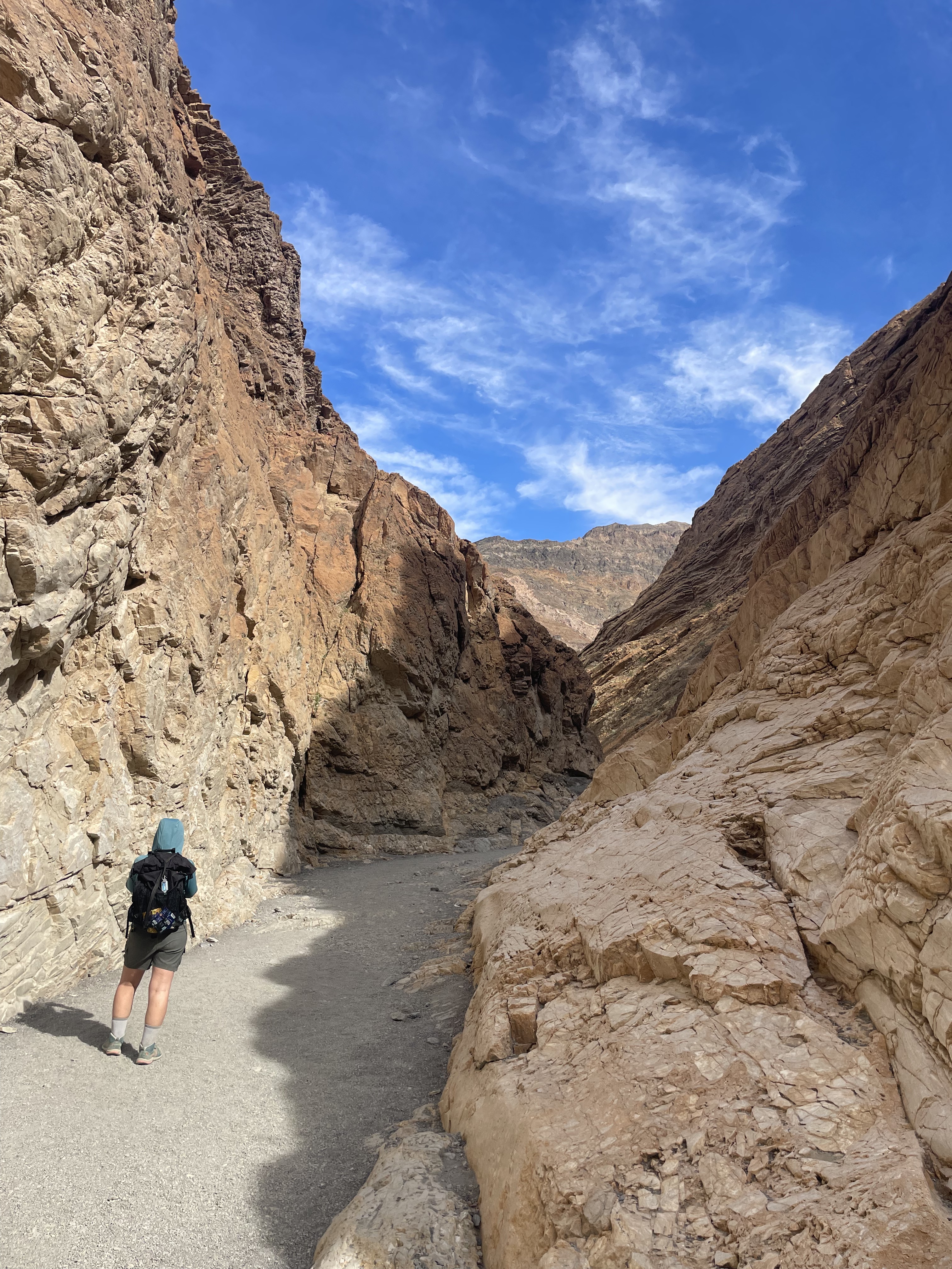
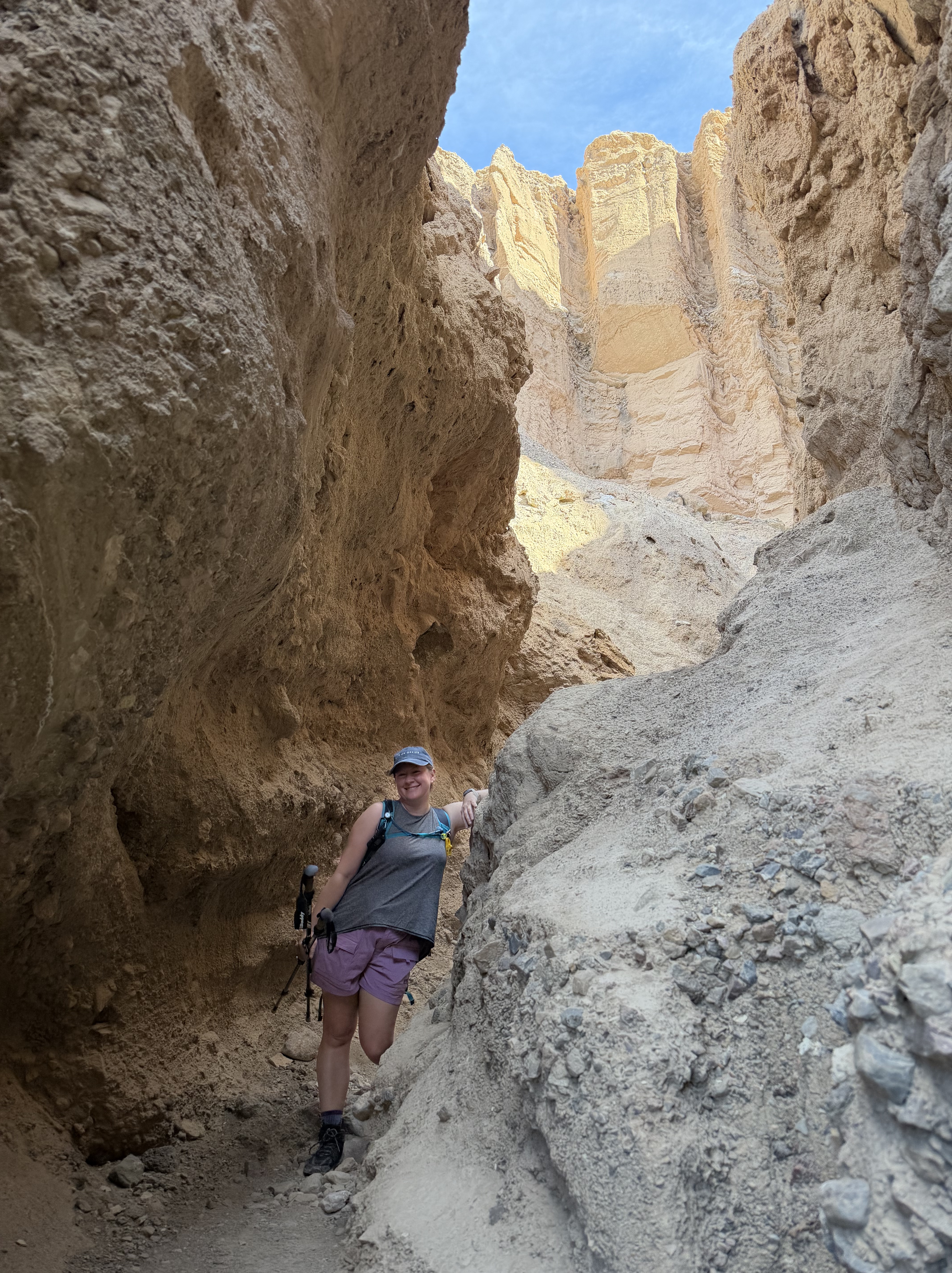
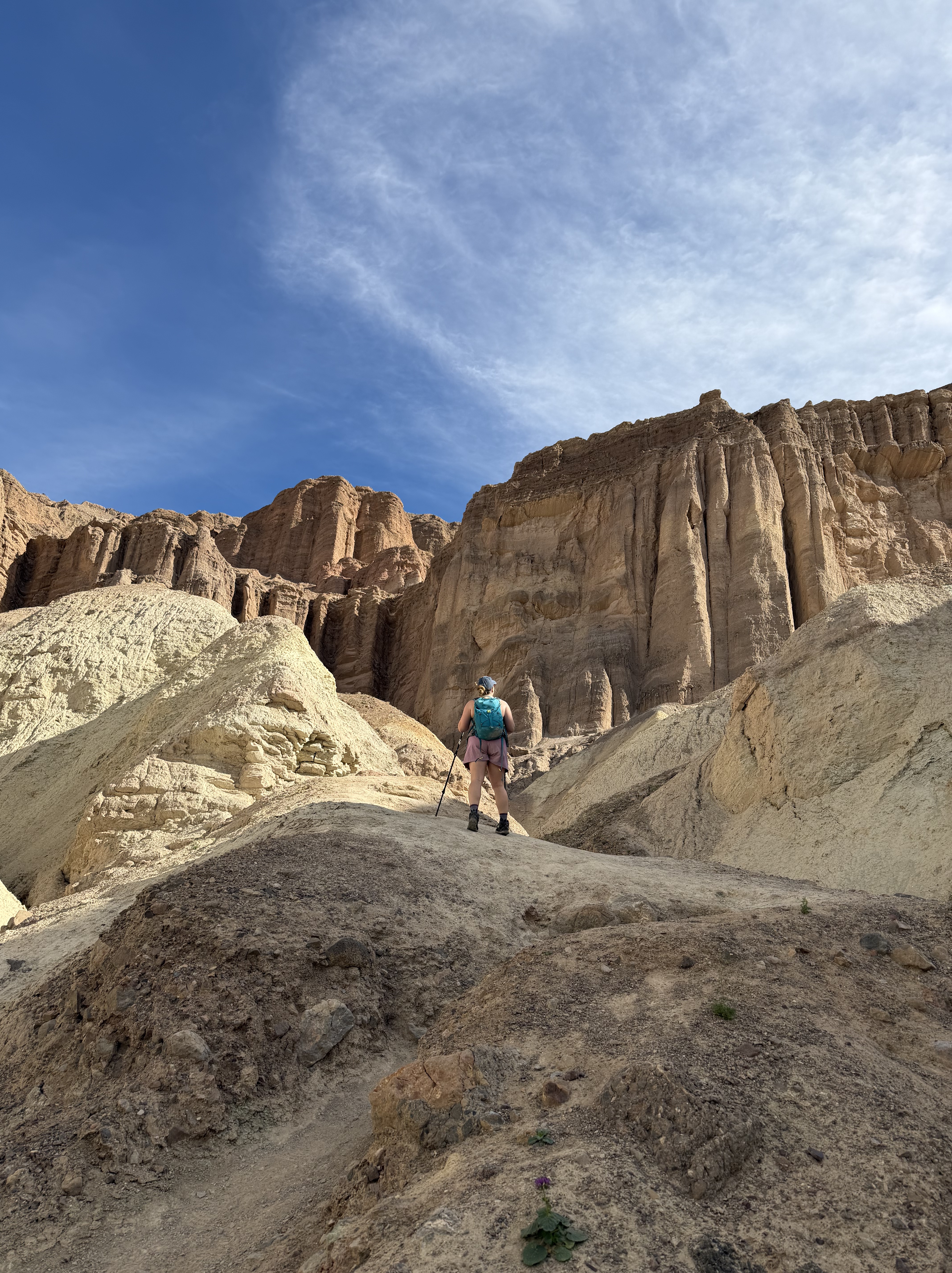
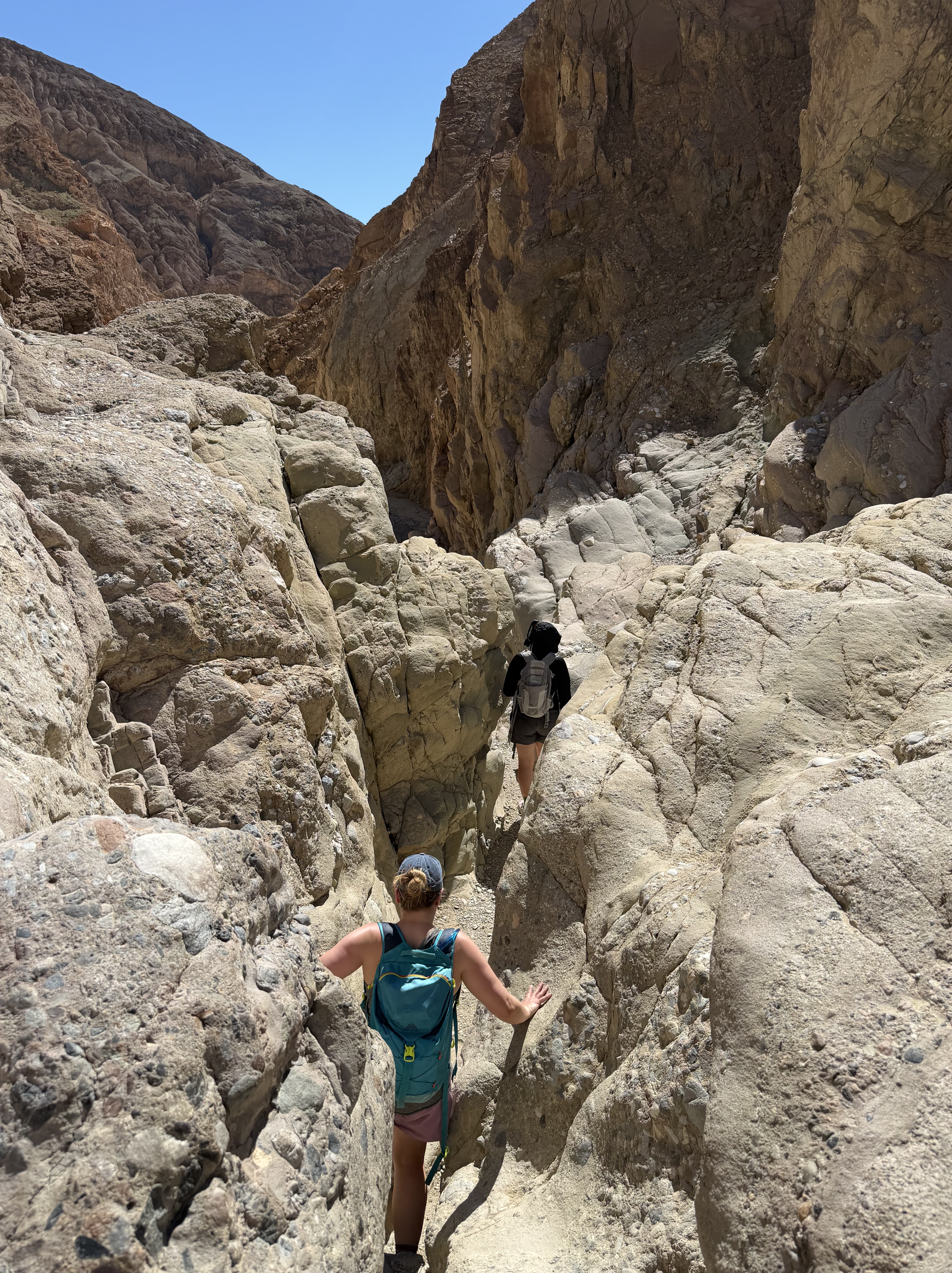
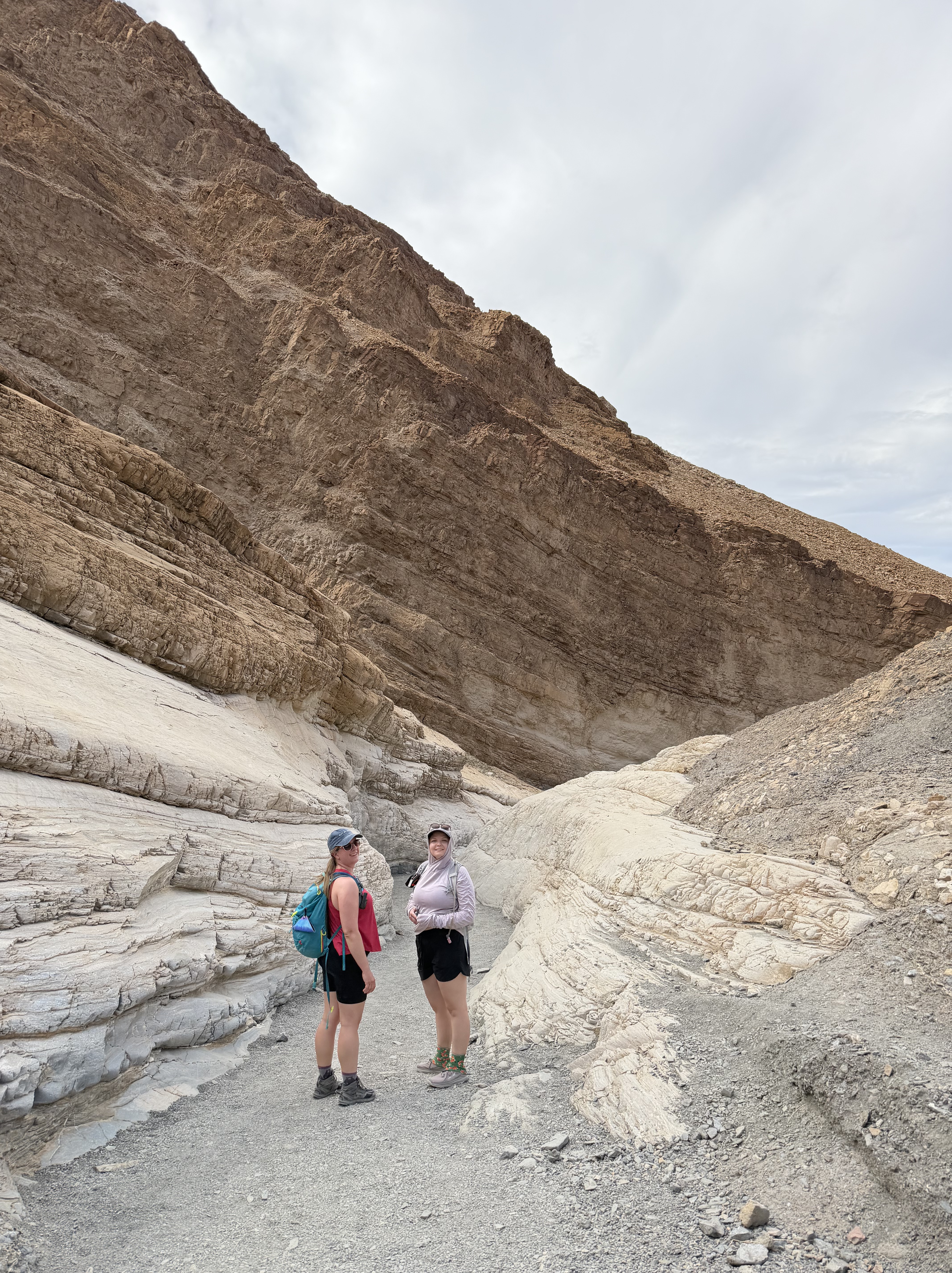
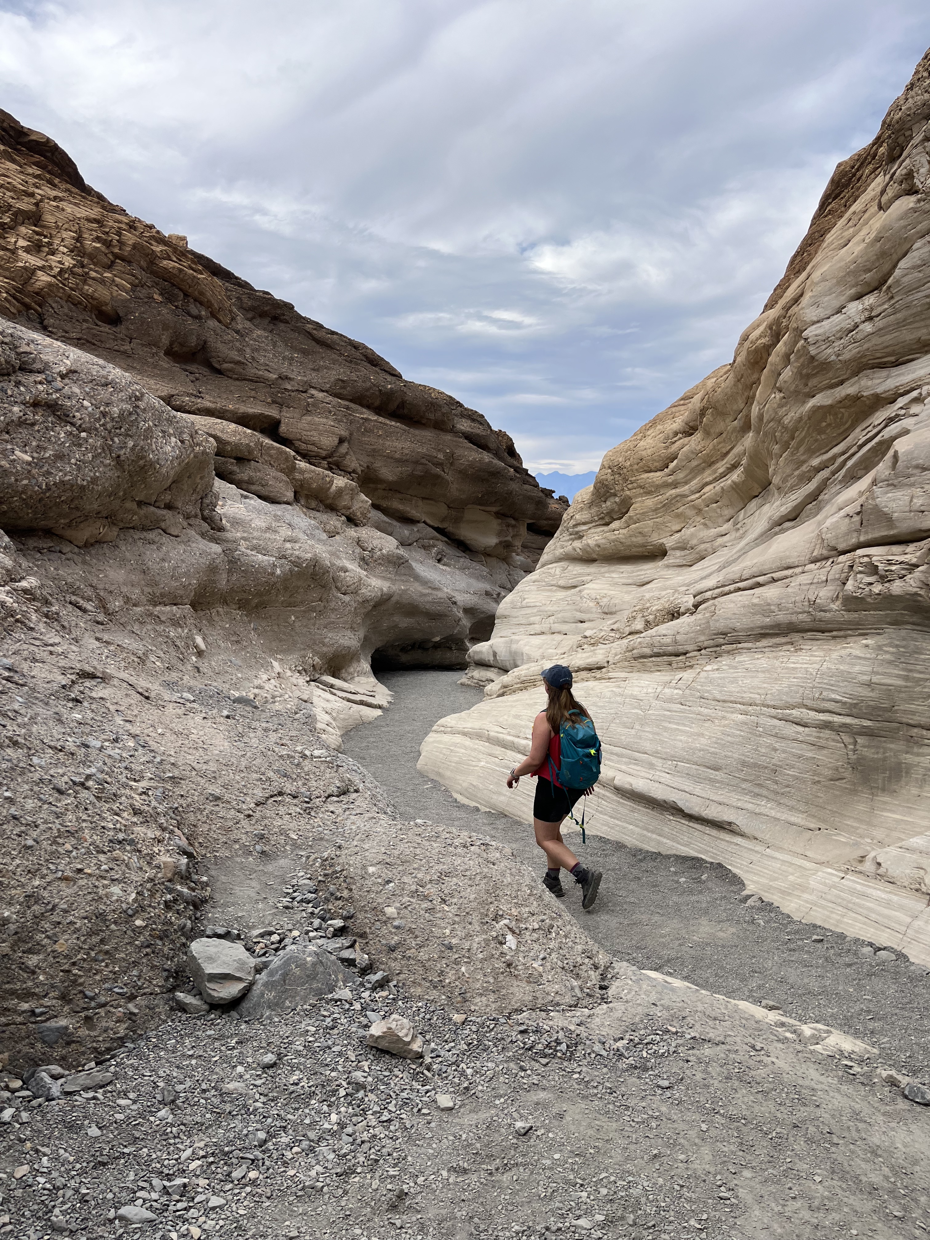
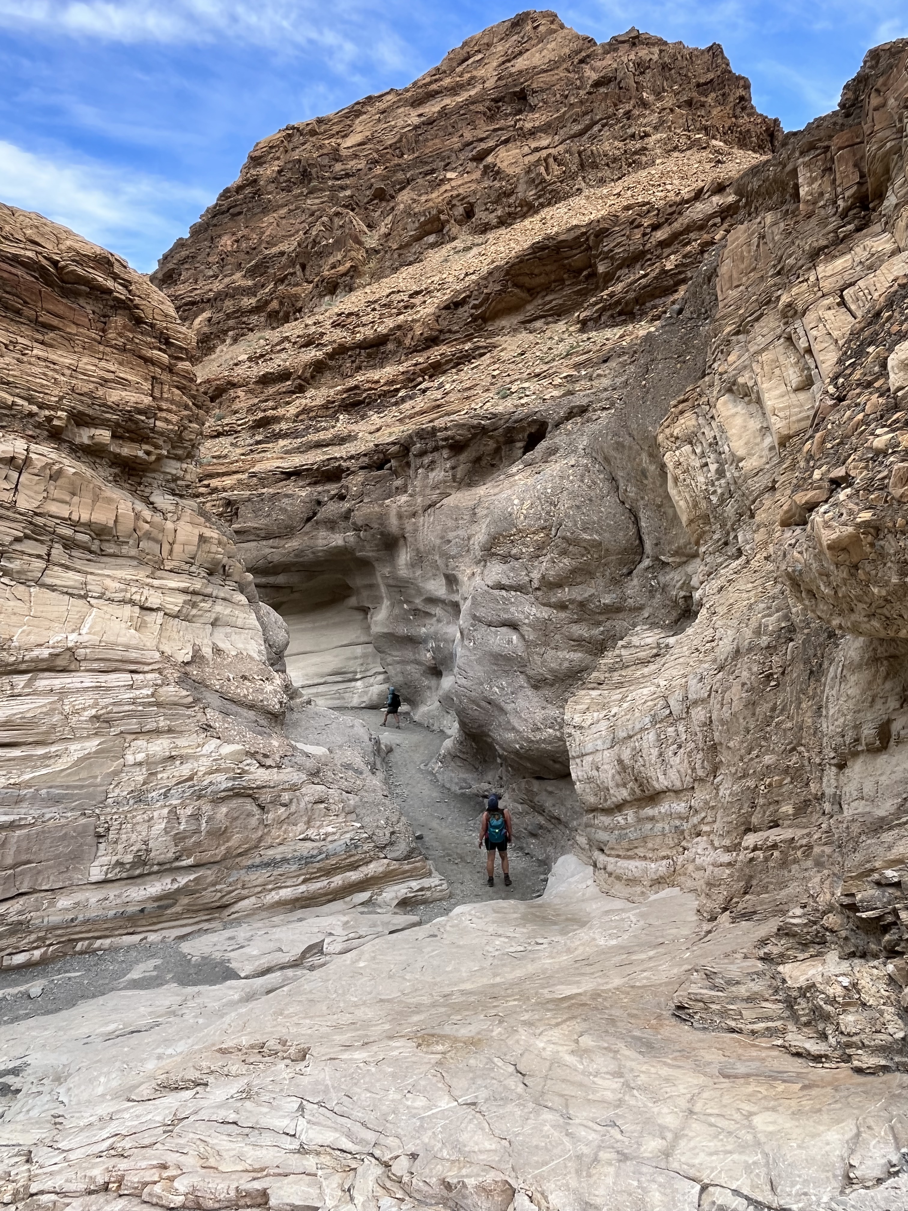
Hiking Mosaic Canyon
Our final stop on our last day was a trip to Mosaic Canyon. This is a popular hiking spot due to the “mosaic” of rocks in the canyon walls, caused by rapid flash floods that carried rocks and other debris quickly through the water, plastering them to the canyon walls.
Mosaic Canyon is also known for its smooth, white, and cool marbled dolomite, formed by the same rapid water forces as the “mosaics.”
Long before Death Valley existed as it is today, limestone formed from marine deposits in an ancient lake here, as continued deposits fell on top, crushing the debris below. Plate tectonics squished and heated the limestone for a long time, turning it into dolomite. As Death Valley continued to compress and heat the dolomite, it turned into marble, which has been polished by flows and deposits through this canyon over time.
You can see the marbled white rock at the bottom of the canyon walls, smoothed by water, in contrast to the rougher rocks above.

At last, we had spent all our allotted time in this beautiful park, and headed back to camp for dinner, and moonrise. We got up very early Monday morning for our long drive back to the Vegas airport. What a magnificent place! I hope you get to enjoy it, too.

Leave a comment